Wellington

On 12th April we set off from Napier to Wellington on what should have been a scenic drive of around 300 KMs. In the event the day was wet and windy and our chosen route via the Manawatu Gorge was closed due to road works. There was a major diversion by way of what is known as the Saddle Road which itself was undergoing huge civil works with road widening taking place km after km and we crawled along for ages eventually arriving at the Capital View Motor Inn late afternoon. As usual we dropped our bags and went straight back out to have a quick reccy of the town.

I was really looking forward to visiting Wellington due in no small part to its claim as the Craft Beer Capital of New Zealand. The Motel was handily placed for the city centre with the main restaurant and bar street, Cuba Street, only a couple of hundred yards down the road from our digs.
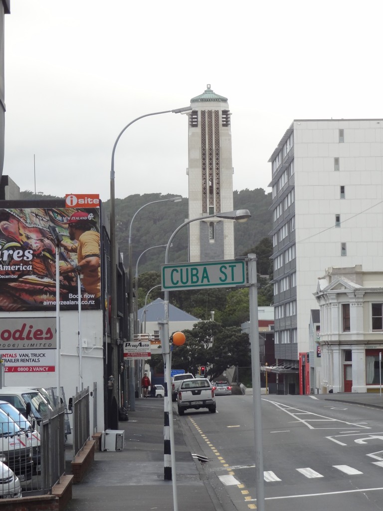
ur motel was very handily placed for the popular Cuba Street with its wall to wall bars and restaurants
Our motel was very handily placed for the popular Cuba Street with its wall-to-wall bars and restaurants
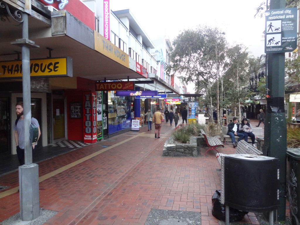
Cuba Street
Cuba Street

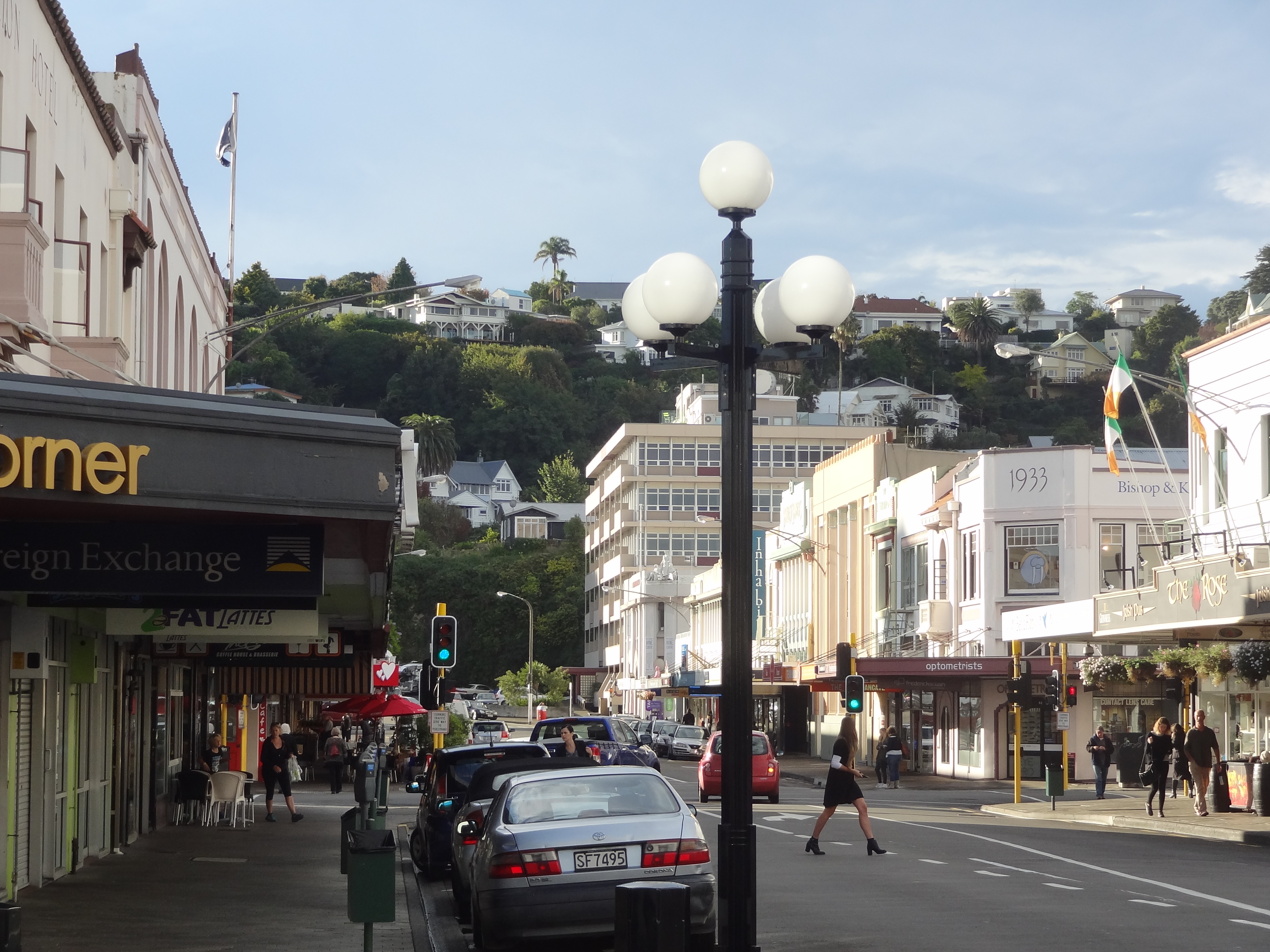
We had read rave reviews about this street but I have to say we weren’t especially impressed at first. It does seem to have every type of restaurant you can imagine but we thought it much the same as many an old city centre street in Manchester or Birmingham UK with wall-to-wall cafes, bars and restaurants to suit every taste and budget in less than smart surroundings for the most part. Many or most of the establishments are aimed at the backpacker fraternity and indeed there is a lot of backpacker accommodation in the vicinity. Manicured it is not but despite this, after walking up and down the street several times during our visit, the place grew on us.

After an hour or two traipsing around the city centre and gagging for a beer, we happened to come across the excellent Goldings Free Dive Bar in an old converted warehouse building. For those familiar with Manchester, this is a very Northern Quarter type area with lots of ethnic and other restaurants along with the ubiquitous Macdonalds, Burger King and Subway shops.

We both loved Goldings Bar which was a proper craft beer pub with 8 or 9 different craft beers on tap and multitudes of others available in bottles. There is no food but you can order a pizza which comes from a pizza outfit next door – and very nice they are too! The staff were friendly and the place was never too busy – we ended up in this bar at some point on each of our three days in Wellington and I managed to work my way through the draught beer list other than for one or two rocket fuel concoctions which I chickened out of.
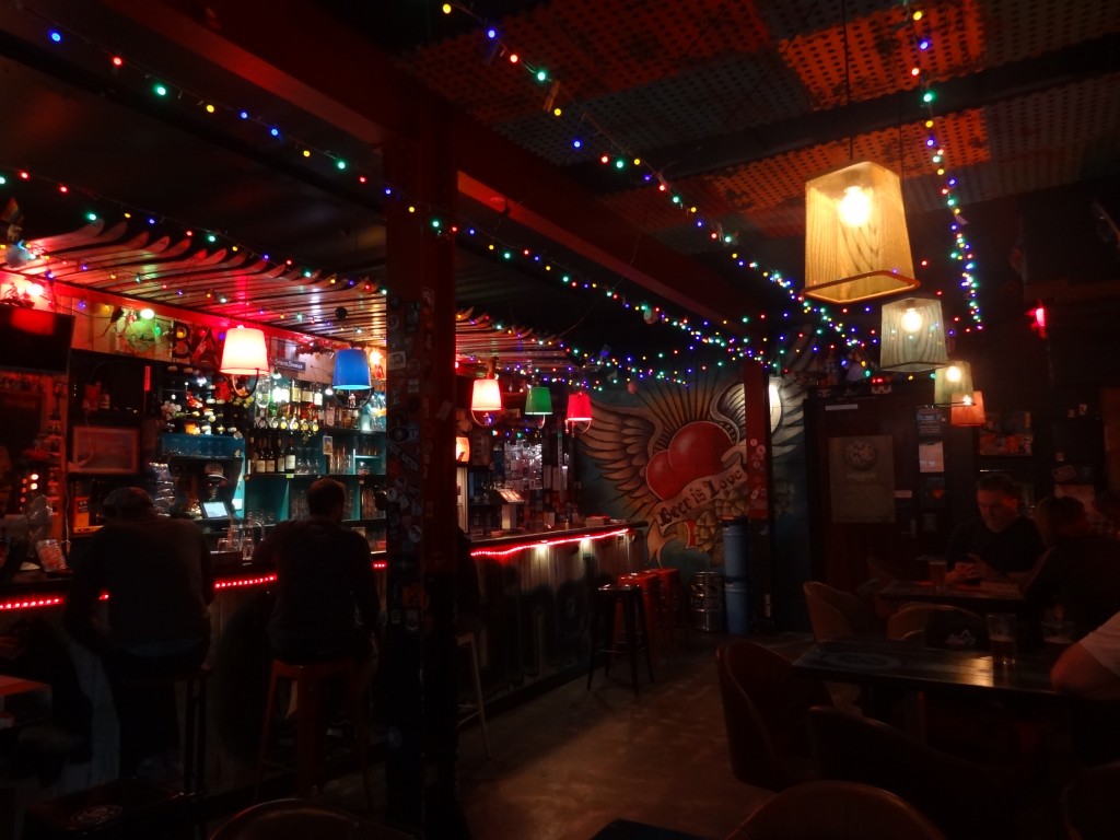
The Bar in the excellent Goldings Bar
The Bar in the excellent Goldings Ba

On this first night, after several beers in Goldings, we went to an Indonesian restaurant around the corner and enjoyed an excellent Rendang and Nasi Goring and a nice long natter with the lady owner of the place.

We had booked three nights at the motel as our research of Wellington told us that a couple of days would be plenty of time to see the main attractions of the city and whilst I guess thats not far from the truth, we both would have been happy to stay an extra day or two. We liked Wellington a lot.

On the first of our 2 full days in Wellington we caught a shuttle bus to Zealandia.

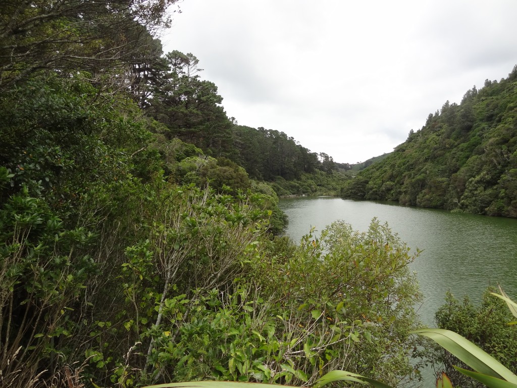
Zealandia: The Karori Sanctuary

2015-04-13 14.58.30

We read that this place is one of the top attractions in Wellington and so we thought we would take a look. We were glad we did as this turned out to be a really interesting day out. Essentially this is a sanctuary aimed at re-creating the conditions and the fauna and flora of New Zealand as it was when New Zealand broke away from the supercontinent Gondwana 80 to 100 million years ago or MYA as the historians/geologists and others say.

First its helpful to understand a bit about the geological history of New Zealand and how it affected its flora and fauna.

It’s believed that only one continent existed 250 million years ago. Then, over time, the land mass separated into two continents – Laurasia in the North and Gondwana in the south. New Zealand, Africa, South America, Australia and Antartica formed part of Gondwanaland but broke away between 80-100 million years ago and started to move to its present position. The Tasman Sea was formed and since that time NZ has developed a unique flora and fauna.

About15 million years ago a quiet period ended with NZ experiencing significant tectonic activity when moutains and basins were formed and since then alternating glaciations and warmer periods have had their own effects.

NZ is still in a period of geological events and the level of tectonic activity remains high. Mountains are eroded and the waste is deposited in river valleys and elsewhere. Each major earthquake has a large effect: in 1855 the coastline of Wellington Harbour was uplifted 1.5 metres and in 1931 the Napier earthquake resulted in 40 sq KM of sea bed becoming dry land!

When NZ separated from Gondwanaland it took with it some of the flora and fauna of the supercontinent with it and some of NZ’s oldest species have evolved from common ancestory elsewhere. For example, the NZ kiwi is related to the Rhea of South America, the Ostrich of Africa and the Cassowary of Australia – there are many other examples.

Around the time that New Zealand separated from other land masses, some event took place which resulted in the mass extinction of the dinosaurs and other species. The nature of this event is unknown but could have been a meteor or some huge volcanic event. Whatever the cause, NZ was left with a land dominated by birds and insects. The only mammals remaining were 2 species of bat!

With no predators other than other birds, many birds lost the need and thus progressively the ability to fly and became largely flightless ground dwellers. Many avoiding flighted predators such as eagles by becoming nocturnal.

This process has made NZ unique. Nowhere else on the planet has such a range of bird life and insect life.

It was only around 800 years ago that humans from Polynesia settled in NZ. Hunting large birds, some of the species became depleted but at the same time the Polynesian rat, the Kiore arrived. The Kiore ate fruit seeds, small invertebrates, bird eggs, chicks, etc. They could hunt on land and in trees and in the dark and as a result, by the time Europeans arrived a number of species were extinct and others were greatly reduced.

European sailing ships brought with them the Norway rat, the ship rat and mice which killed off more native species of birds and bats. Over time, other pests arrived either under their own steam or were deliberately introduced by man. Rabbits were introduced in the 1860s but by the 1870’s they had become a pest and so stoats were introduced to control them. Unfortunately the stoats found that flightless birds and their eggs and chicks were easier pickings and before long the stoat had spread throughout the country and is still present and eating its way through New Zealand’s birdlife.

Another animal deliberately introduced in the mid 1800’ was the Possum. The Possum was introduced to develop a fur trade but by now there are millions of them throughout New Zealand and they have become Public Enemy Number 1.

The Possum also feeds on eggs and young birds but is also a deforestation expert. They kill trees by stripping them of leaves, fruit and seeds. When larger trees are gone scrub takes over and many native creatures are unable to find food and shelter. Other animals introduced which are now pests include deer, goats and pigs. All these animals have changed and are changing the fauna and flora landscape of NZ and this is where conservationists are working to restore the countries natural fauna and flora.

There are lots of conservation projects around New Zealand often involving many overseas visitors, youngsters who see it as a way of seeing the country with food and lodgings provided. The Karori Project otherwise known as Zealandia is a particularly successful project.

The Karori Valley was originally forested but was turned into farmland in the 1800s and then, following a short-lived gold rush, the area was set aside as a water catchment for Wellington. Through the second half of the 1800s the valley was mined, farmed and suffered major forest fires. Eventually a dam was built to provide water for Wellington in the 1870s and a second dam was built in 1908 to give more capacity. In 1978 the dam was deemed to be an earthquake risk and the lake behind the dam was reduced. Later, in 1991, the second dam was decommissioned.

Around 1990 Jim Lynch had a vision that this valley could be restored to its original state for the benefit of Wellington and New Zealand itself and the decommissioning of the dams was timely. Support for the plan was gathered from other like minded conservationists and eventually won the approval and support of the Public Authorities. In 1995 the Prime Minister established a non-profit charitable trust the nature of which would allow the community to participate in the development of the Kaori Sanctuary. By December 1998 all the necessary public approvals had been secured and funding raised and work began on a 8.6KM fence to enclose the valley.

2015-04-13 12.46.42

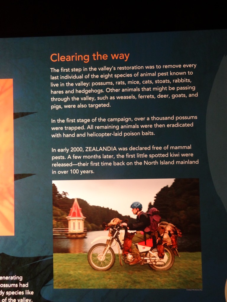
The fence was built as a secure barrier in such a way that neither humans nor even the smallest mammal could access the enclosure either by digging beneath or climbing or jumping over. Once the fence was in place, a process of eradication began to rid the enclosure of all non native mammals, domestic and otherwise. The eradication process was completed in 2000 and although there was an intrusion by stoats post-2000, this issue was resolved. The process of re-forestation, the removal of all non-native species of trees and plants and restoration of wetlands is now ongoing but it’s estimated that it might take 500 years restore the land to its original pre-human date. In the meantime many species of birds, reptiles and plants have been reintroduced and are thriving. Work continues mostly by volunteers.

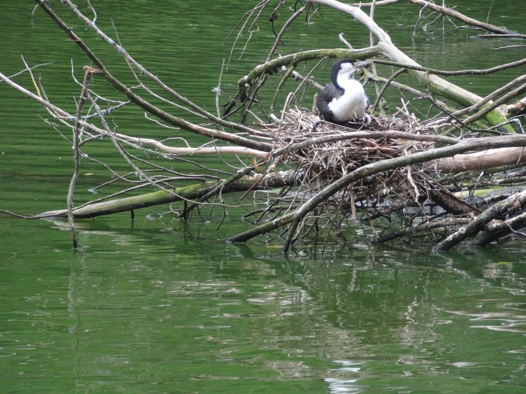
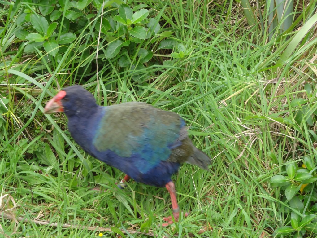
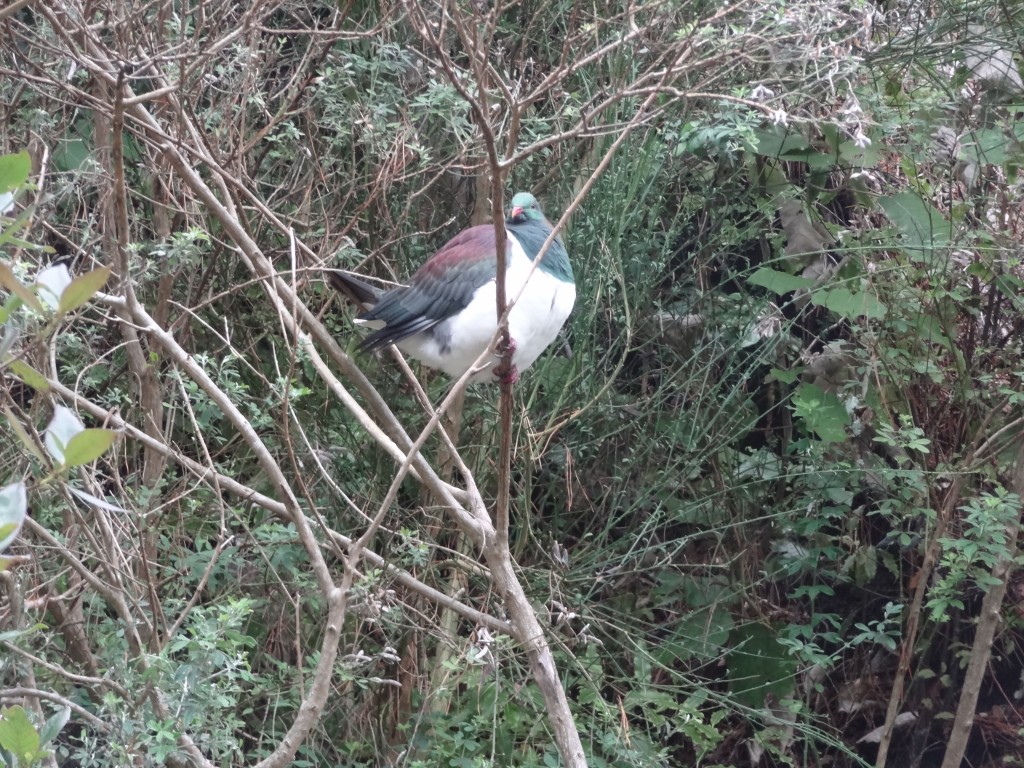
So this was a really interesting day even though the weather wasn’t great. One of the original volunteer Guides who has been involved with the project since its inception took us in hand and spent over an hour walking us around the place explaining the project and helping us with our bird spotting. We saw lots of native birds and one or two foreign ones although we didn’t get as many photos as we would have liked nor did we get to see any of the reptiles as the weather was quite cool and grey.

We could easily have spent the entire day at Zoolandia but had other fish to fry and hopefully there will be a chance to re-visit!

2015-04-13 14.26.08

2015-04-13 13.54.43

2015-04-13 13.00.10

2015-04-13 13.52.55

2015-04-13 13.19.09

nnnnnnnnnnnn

2015-04-13 13.11.58

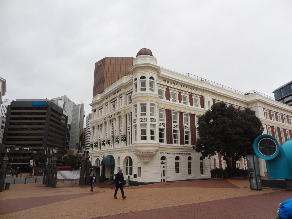
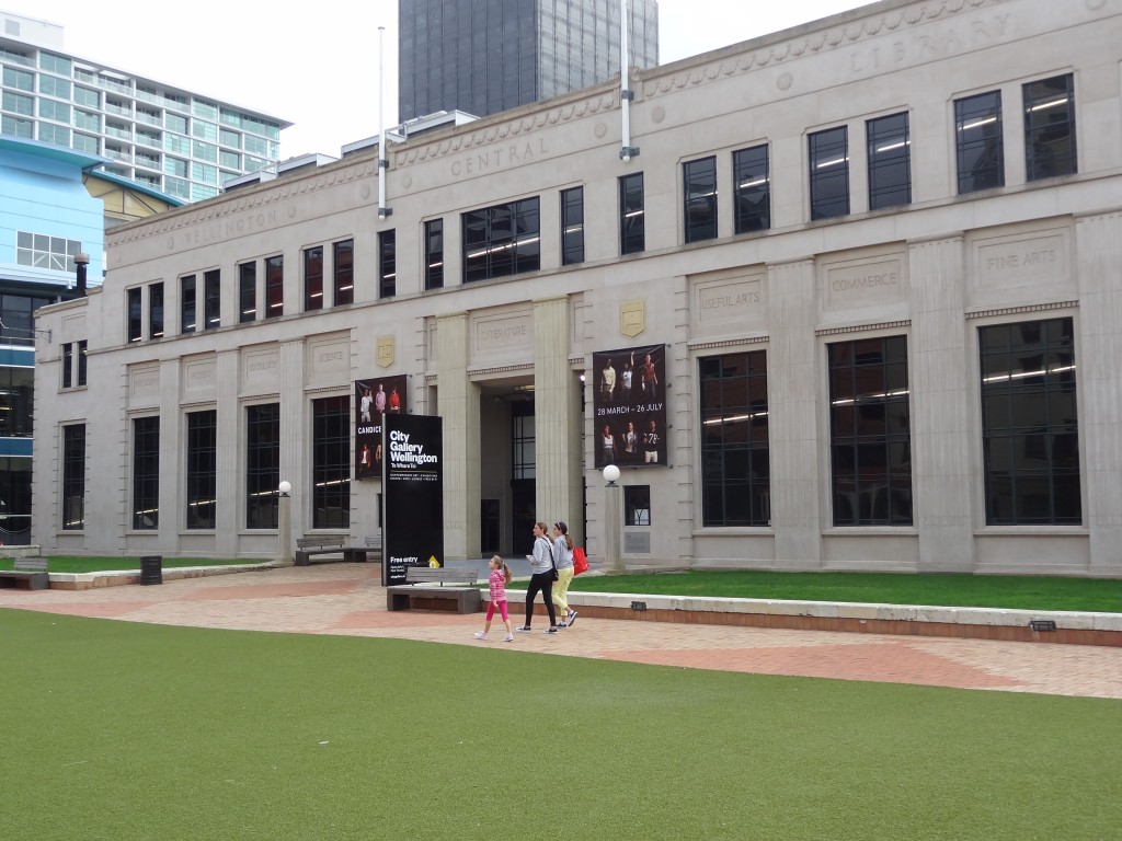
Leaving Zealandia, we walked back into town to the waterfront area. This entire area has been re-developed and is a very pleasant part of Wellington with museums, theatres, exhibition halls, bars and restaurants and large open areas for events. It’s a nice place to visit.
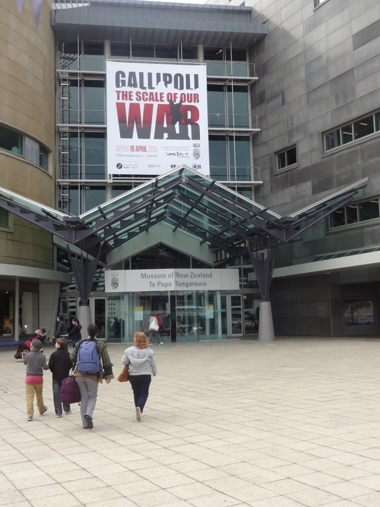
Te Papa Museum on the waterfront

Te Papa Museum is a must see attraction here. It contains lots of interesting exhibits old and new with a lot of inter-active exhibits. Inevitably there is a great deal relating to the indigenous people but there’s much much more besides. Unfortunately we missed the main Gallipoli Exhibition which was being heralded at the time of our visit and is now receiving rave reviews. One could easily spend a full day here; we stayed for a few hours and as a result missed a visit to the Maritime Museum which had closed for the day. We had had a quick peek into the Maritime Museum as part of our historical walking tour in the morning. Definitely one to visit if time permits.

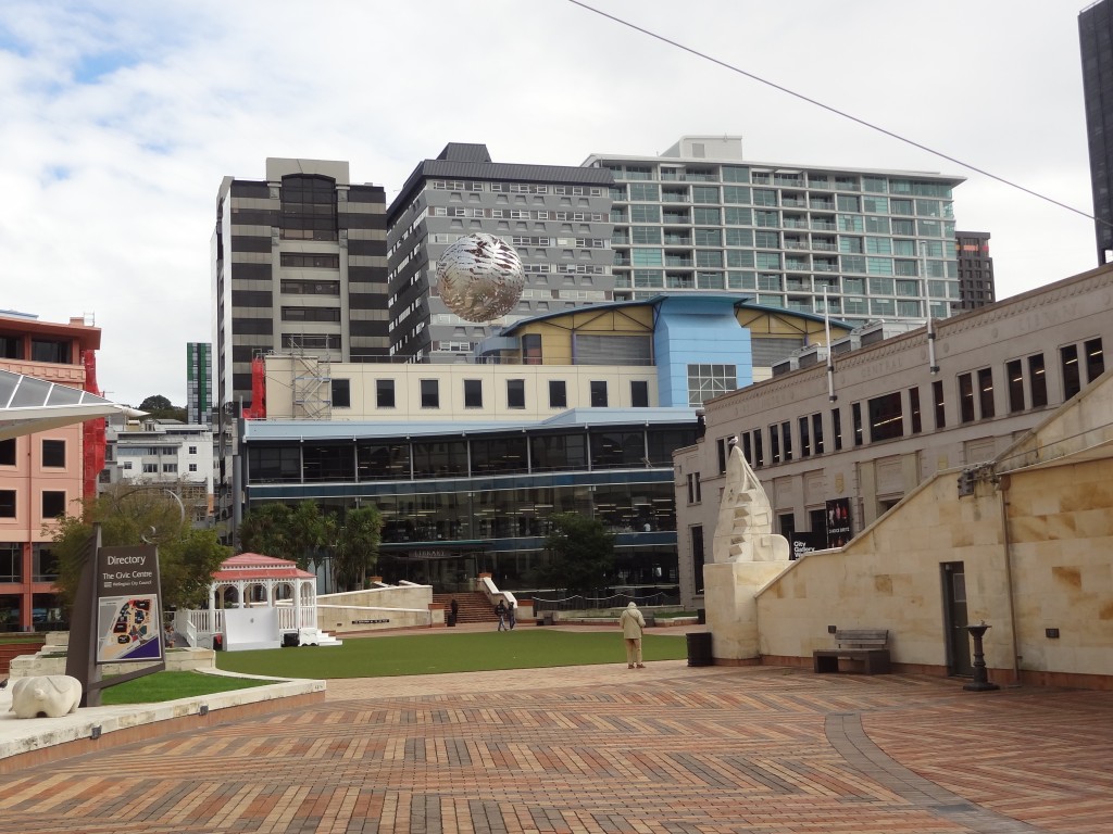
On the second of our two full days here we signed up for a walking tour of the city at the excellent ICentre (New Zealand’s tourist information centre – at least one of these can be found in most towns.) We can’t remember the cost of the tour but it was modest for a tour with an excellent Guide that covered all of the main city centre and lasted a couple of hours. Here are a few pictures:
2015-04-14 10.41.23

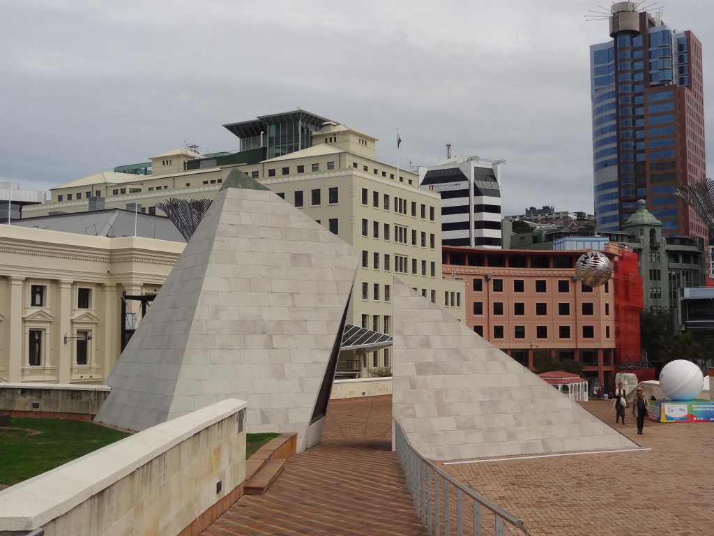
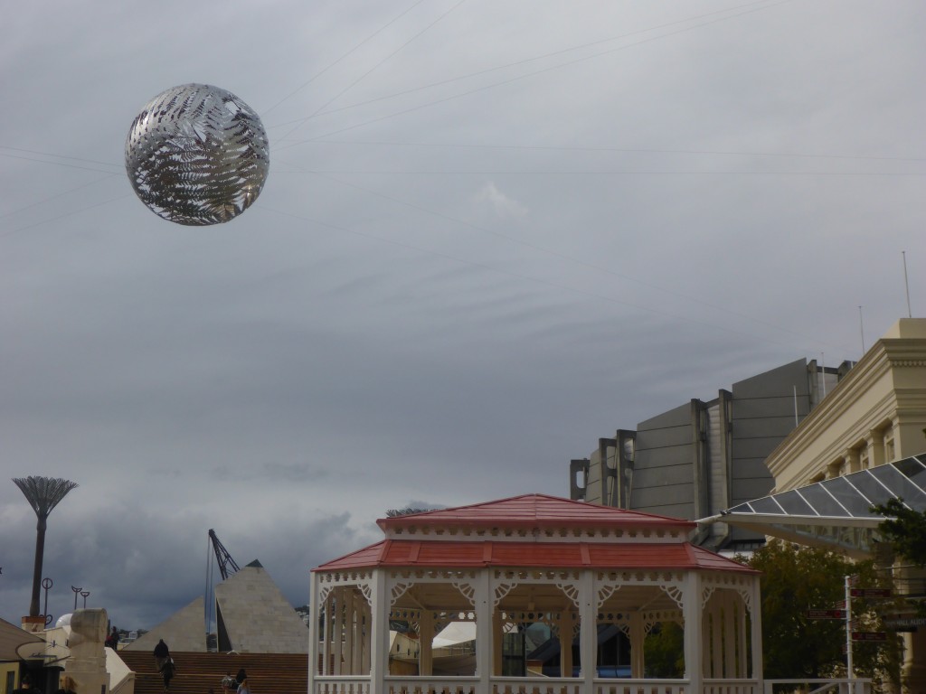
Civic area complete with "sculpture of globe made of cut out aluminium ferns stuck together. Sculpture is big in Wellington - its the sculpture capital of N Z
Civic area complete with “sculpture of globe made of cut out aluminium ferns stuck together. Sculpture is big in Wellington – it’s the sculpture capital of NZ with a charitable which raises money to engage the great and the good of the sculpture world to create public art
Another view of the globe

2015-04-13 10.42.08

2015-04-13 10.28.19

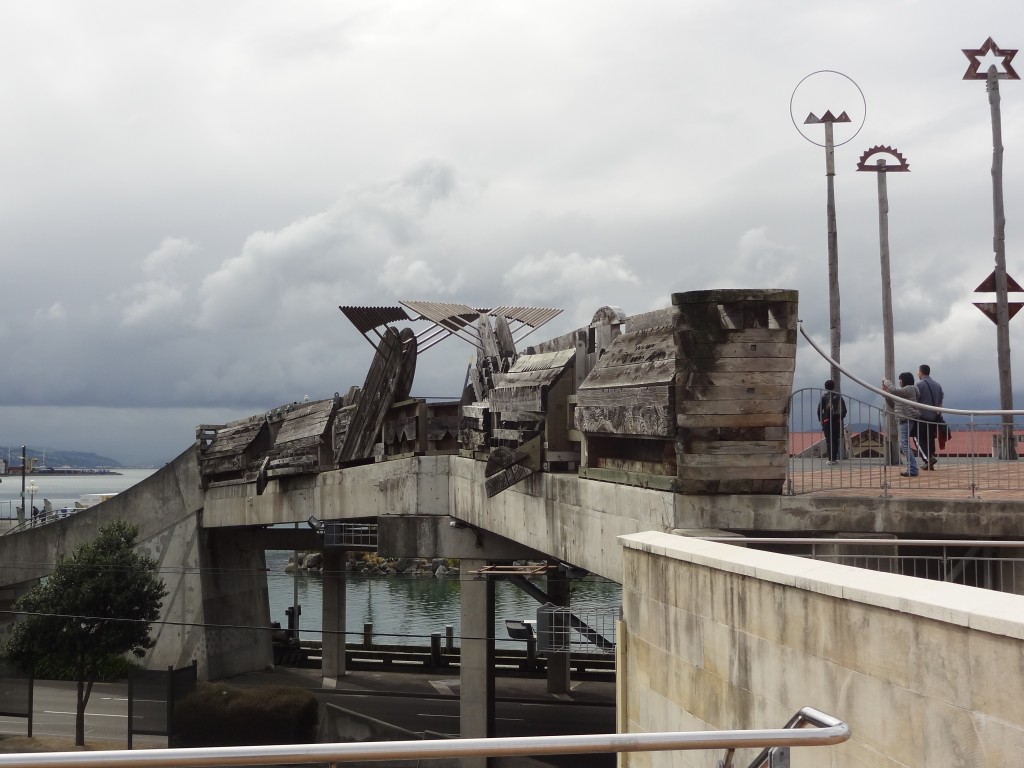
The City to Sea Bridge is a pedestrian bridge joining the Civic Area of the city to the waterfront.Parts of the sides of the bridge are timber planking adorned with sculptures carved by a prominent Maori artist - they include sculptures of whales and fish and as always there's a Maori story represented in them.
The City to Sea Bridge is a pedestrian bridge joining the Civic Area of the city to the waterfront. Parts of the sides of the bridge are timber planking adorned with sculptures carved by a prominent Maori artist – they include sculptures of birds, whales and fish and as always there’s a Maori story represented in them.
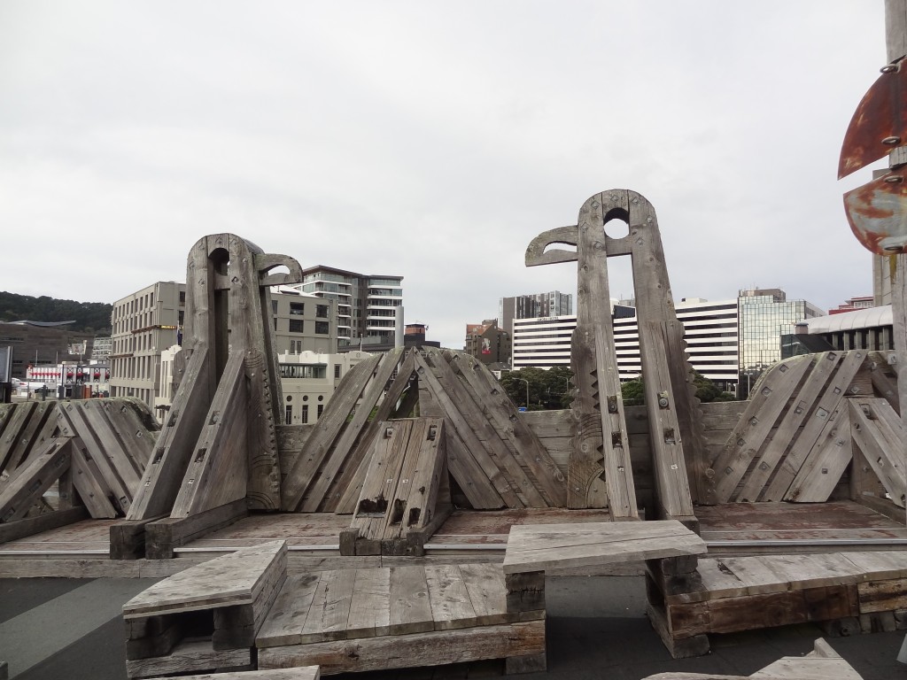
A closer view
A closer view
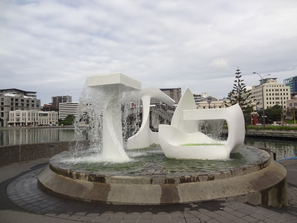
Another piece of public art down by the waterfront - marble fountain sculpture
Another piece of public art down by the waterfront – marble fountain sculpture
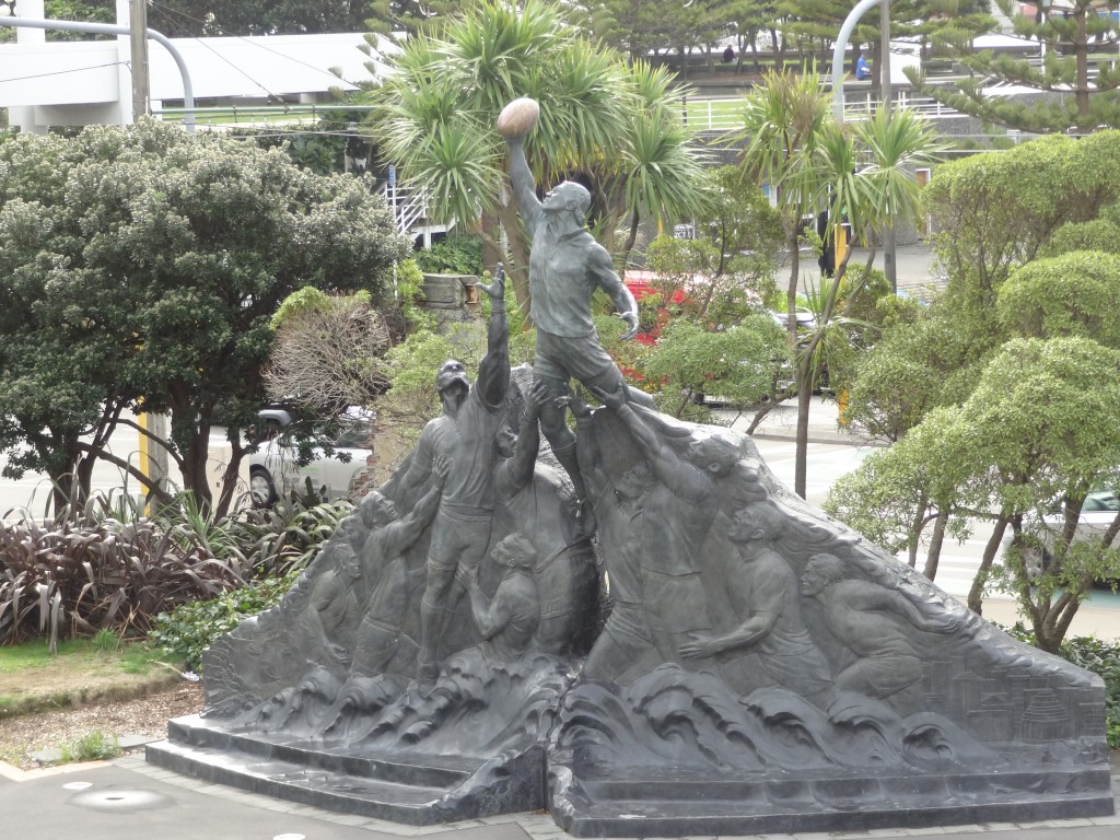
More sculpture - this one depicting the Rugby World Cup
More sculpture – this one depicting the Rugby World Cup
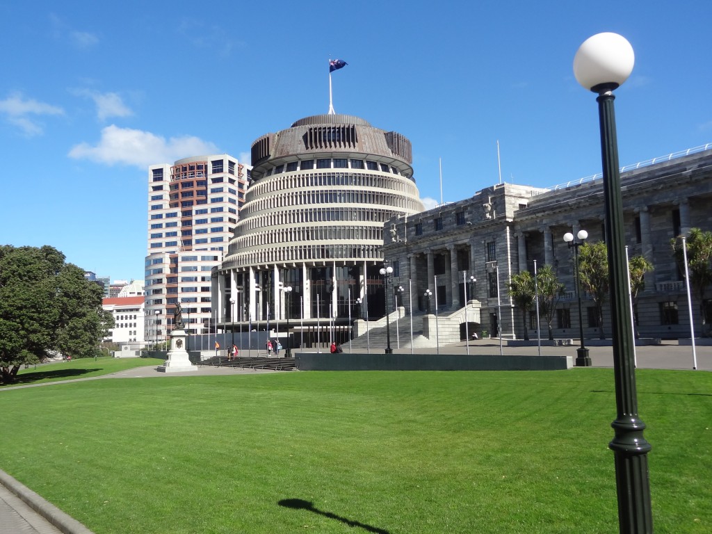
Parliament Buildings aka The Beehive
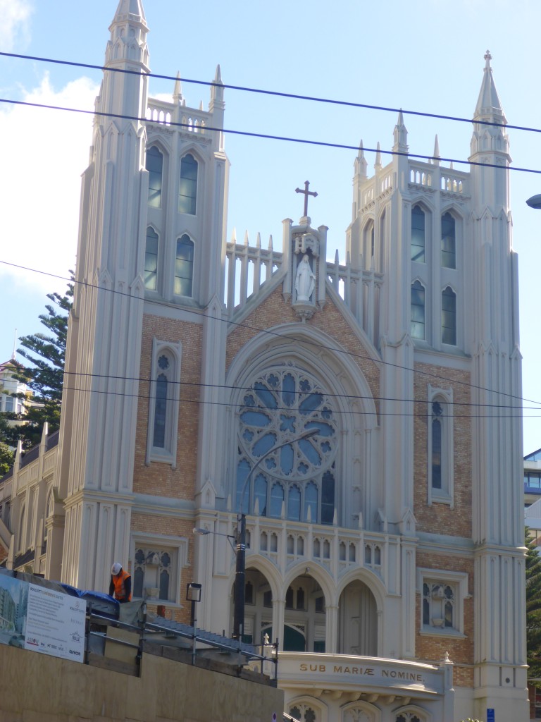
Wellington Catholic Cathedral
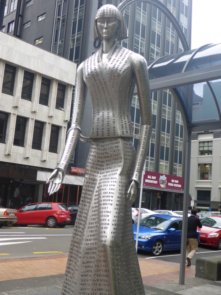
A final sculpture - this is
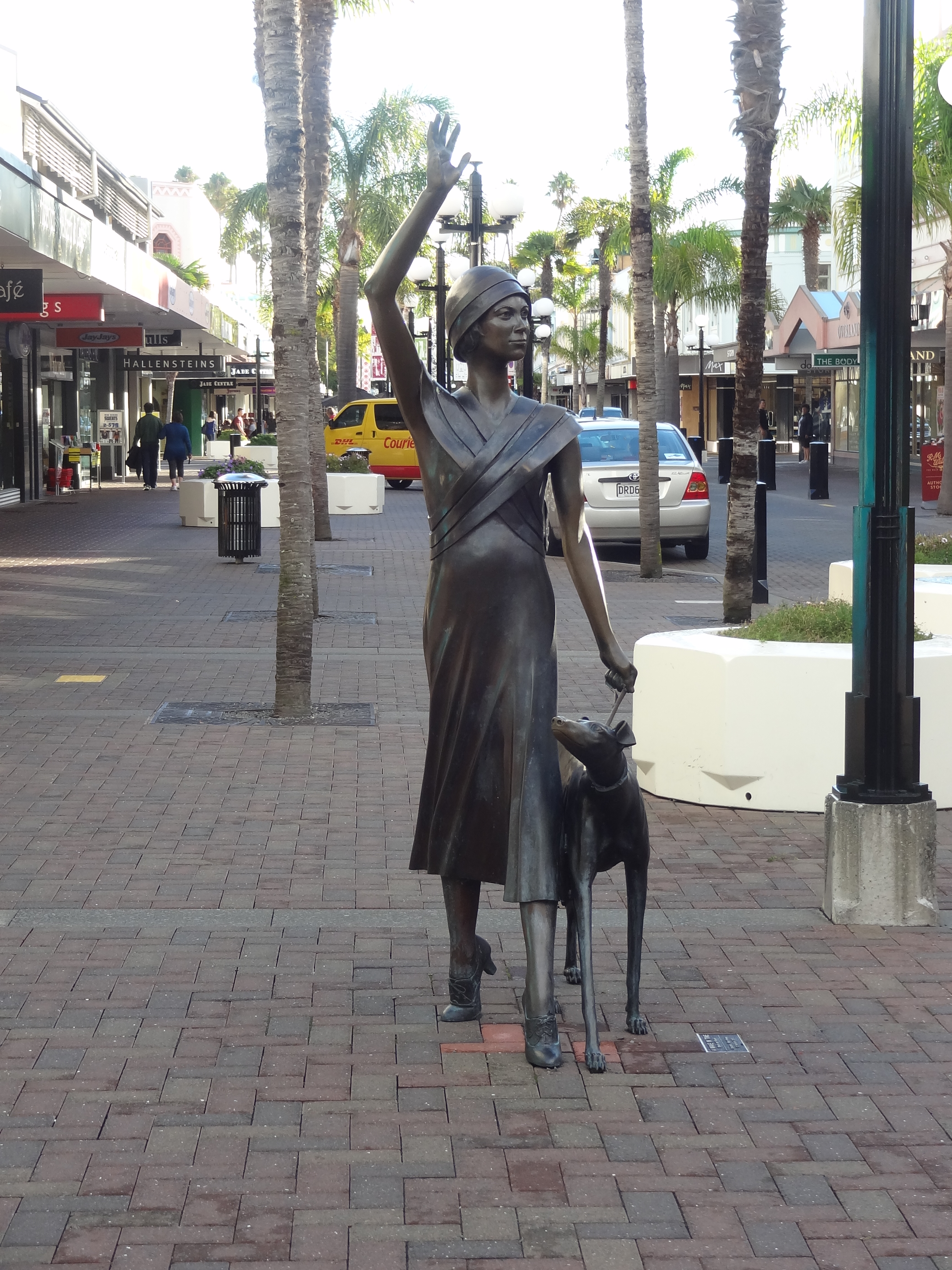
And last but not least, this is a sculpture of Katherine Mansfield, a prominent NZ writer of yesteryear…..

With an early start and only a banana for breakfast we were both starving after all the walking rather extravagantly decided on an Indian meal for lunch. After lunch we re-traced some of the steps we had taken in the morning to visit the excellent Te Papa or to give it its full title: Museum of New Zealand TE Papa Tongareru which is the Nation Museum and Art Gallery of New Zealand.

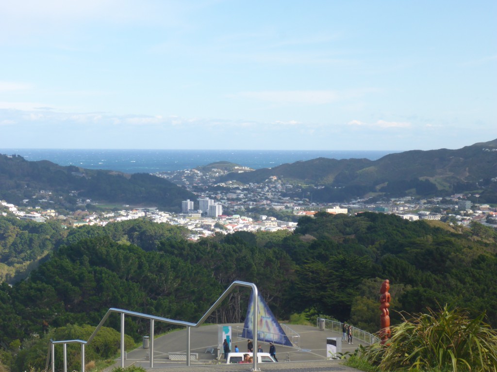
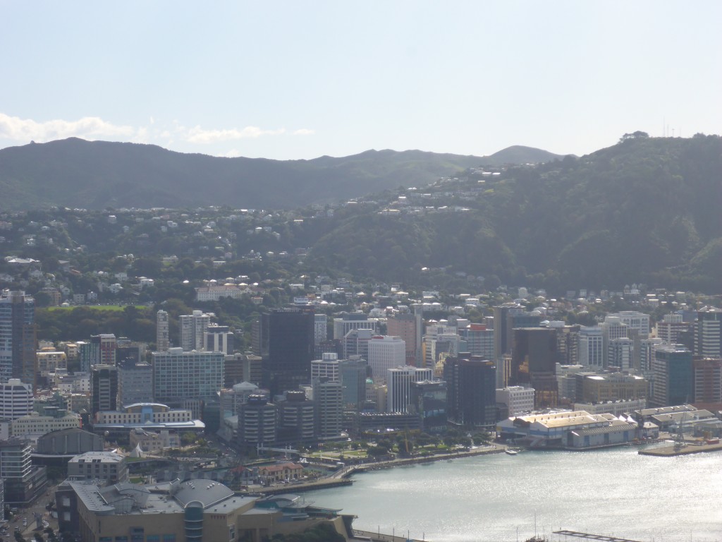
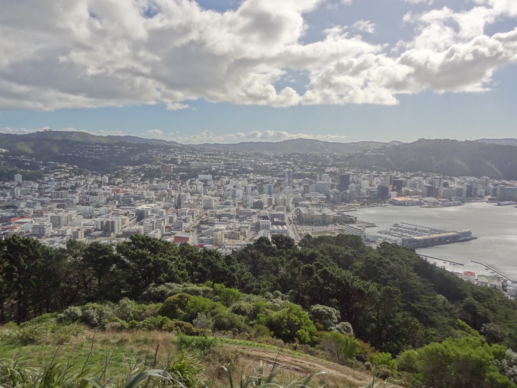
Replete from our lunch, we jumped on a bus to Mount Victoria which is a prominent hill just out of the centre of Wellington. There’s a look which gives prominent views of the city but we had planned to give it a miss in view of the grotty weather. In the event, whilst the the weather was still grey, the clouds cleared for a while and we were able to take a few photos:

2015-04-14 14.49.40

2015-04-14 14.30.30

2015-04-14 14.29.58

2015-04-14 14.29.05

Autumn was certainly on its way – it was actually pretty cold up on the hill. We didn’t linger and set off downhill to walk back to town. Dinner on our last night was Pizza in Goldings – we couldn’t leave without saying goodbye…
Napier

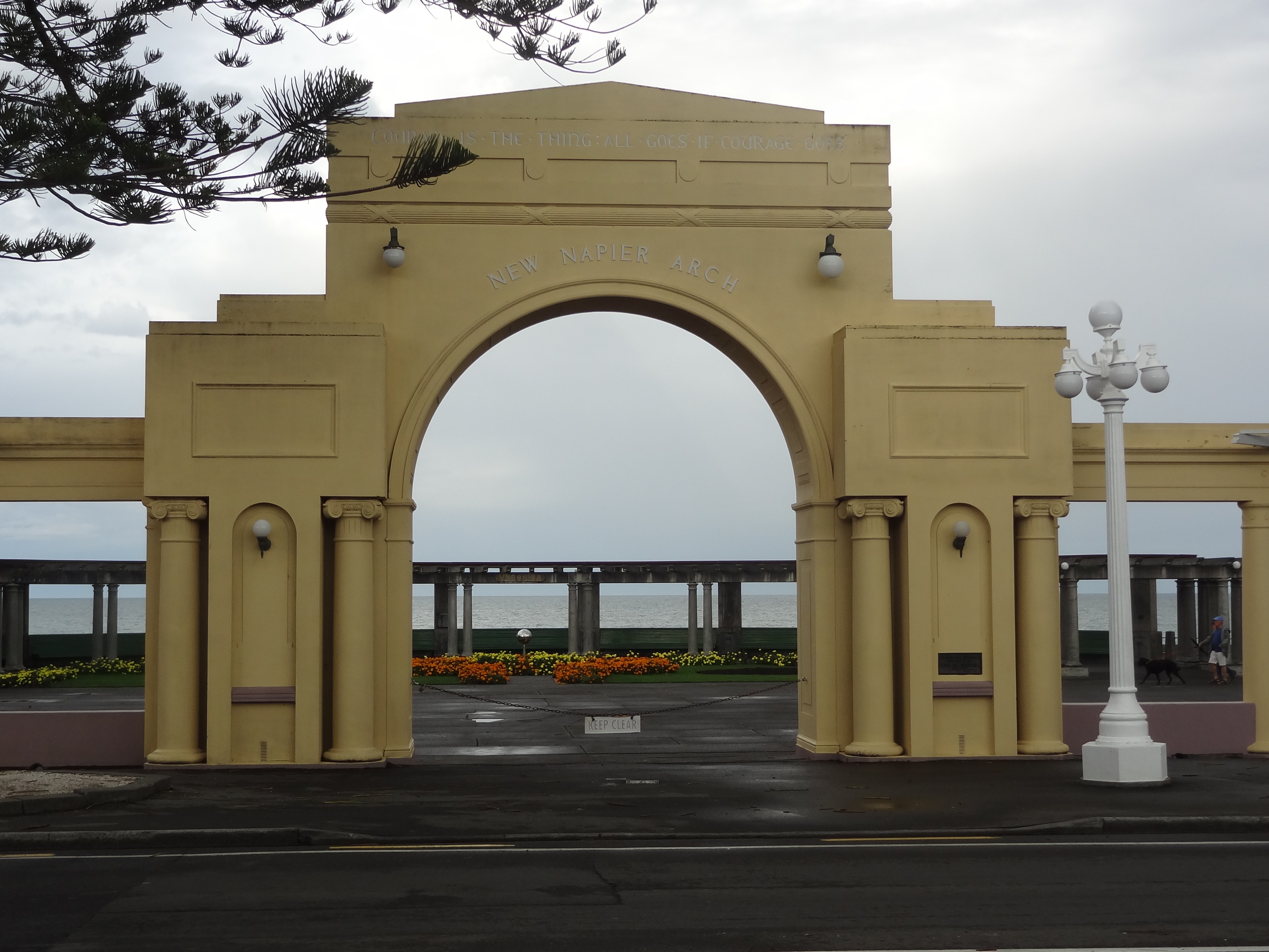
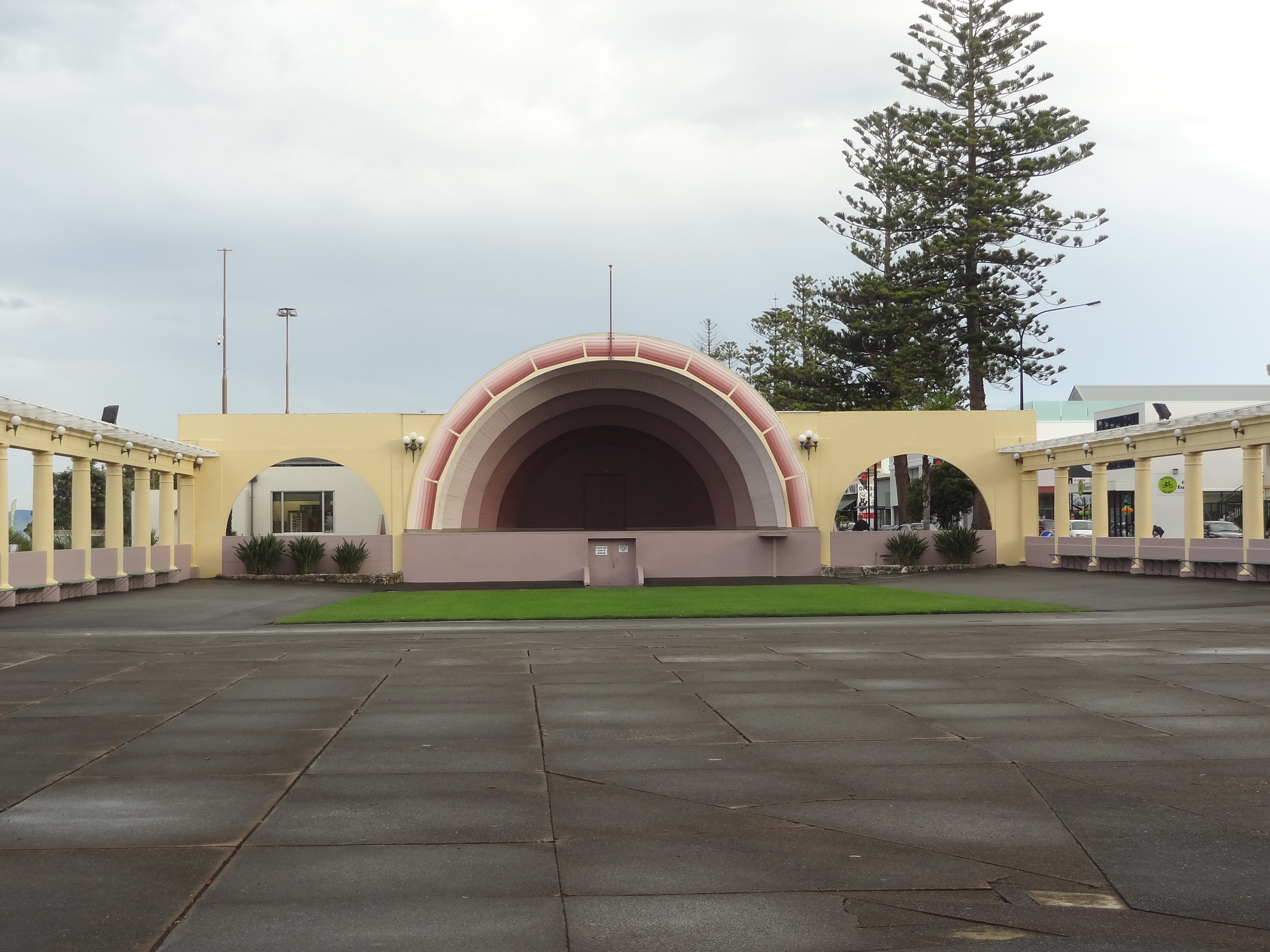
We arrived at Marineland Motel, West Quay, Napier in the early afternoon of 10th April. The day was gloomy but nevertheless we decided to walk for 40 minutes or so around the wharf and harbour areas into town.

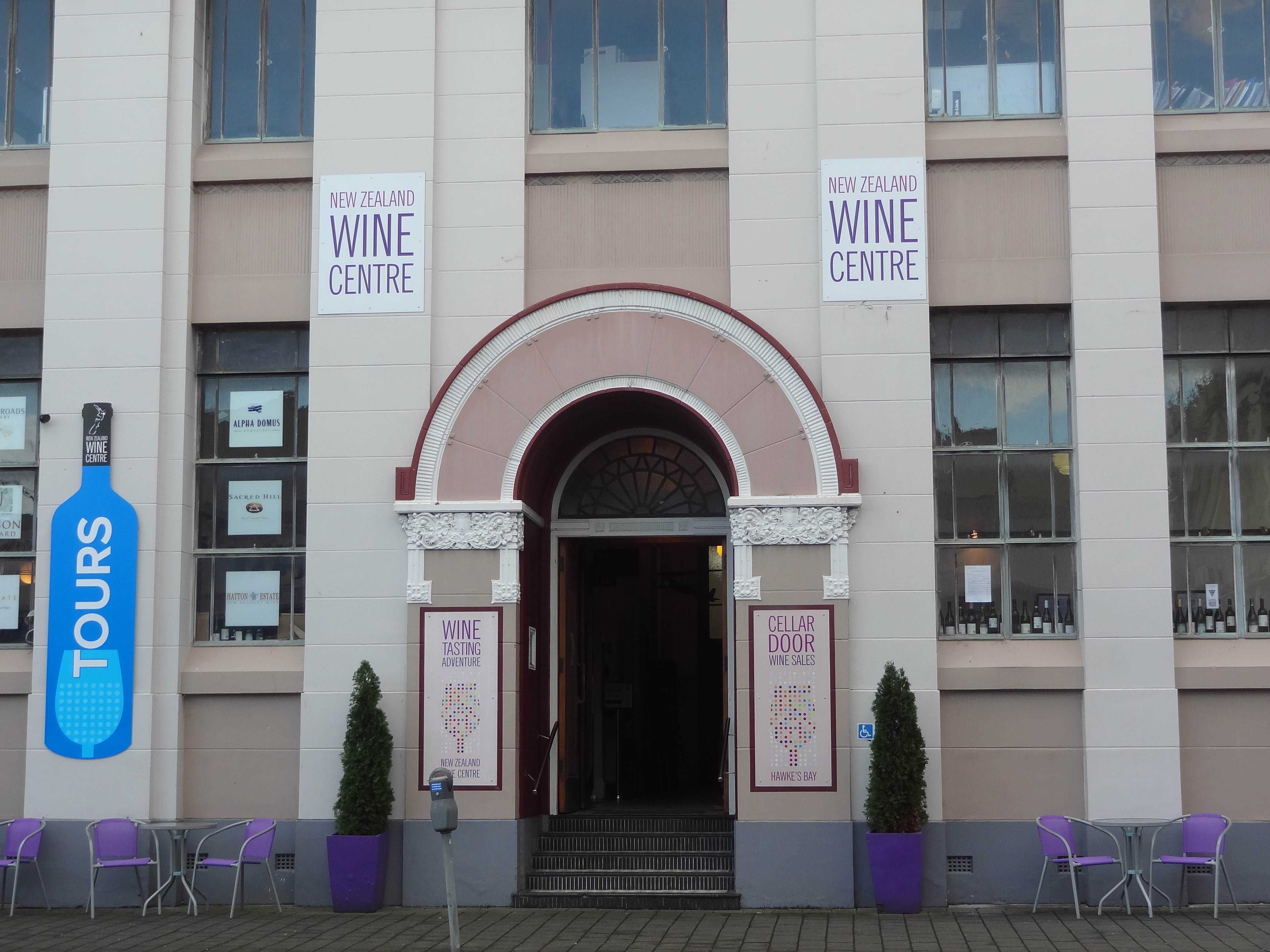
Napier is a large seaport town with a population of around 60,000. It’s a major centre for wool and the prime export port for timber, pulp and fruit, as well as wool. Napier is also a major grape growing and wine producing area processing grapes from other parts of New Zealand in addition to those locally grown.

The town is situated on Hawkes Bay which suffered a devastating earthquake in 1931. The earthquake lasted for two and a half minutes and measured 7.9 and 256 people were killed. It remains New Zealand’s deadliest natural disaster.

The natural landscape was changed significantly by the earthquake with the coastal areas around Napier being lifted more than 2.7 metres. Within minutes of the earthquake fires broke out in chemist shops in the city centre and with heavy winds fanning the flames, most of the buildings which survived the earthquake were destroyed by the fire.

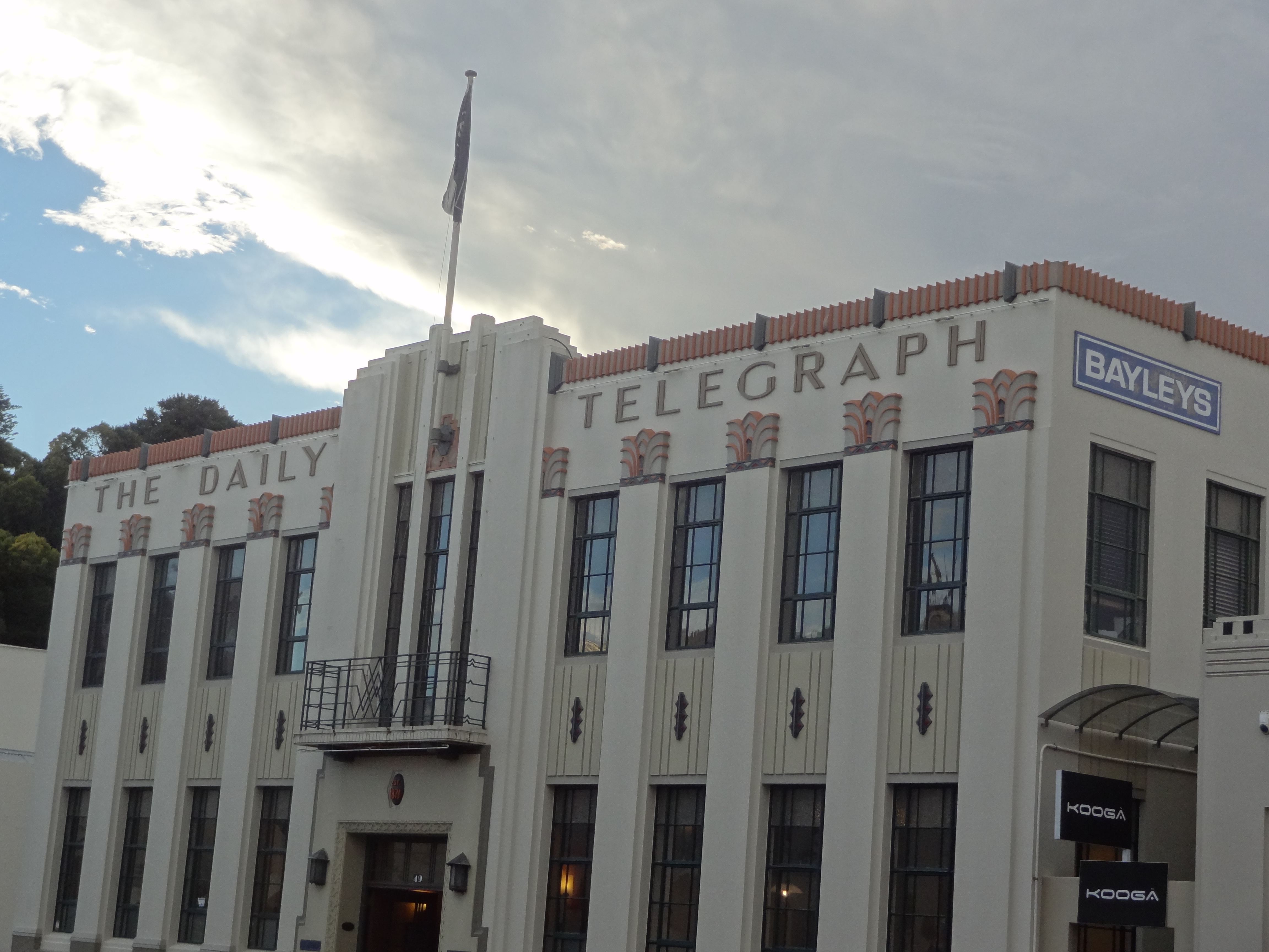
The earthquake prompted a review of New Zealand’s building codes which were deemed inadequate resulting in most buildings built from the 1930s onwards being heavily reinforced. As the re-building of the town was completed in the 1930s and 1940s when Art Deco was fashionable, most of the new buildings were built in this style. The result is a very attractive and very interesting city centre and this, of course, is one of Napier’s main attractions for tourists.

City Centre

2015-04-10 16.19.25

2015-04-10 16.58.45

2015-04-10 16.23.20

2015-04-10 16.48.47

2015-04-11 12.38.37

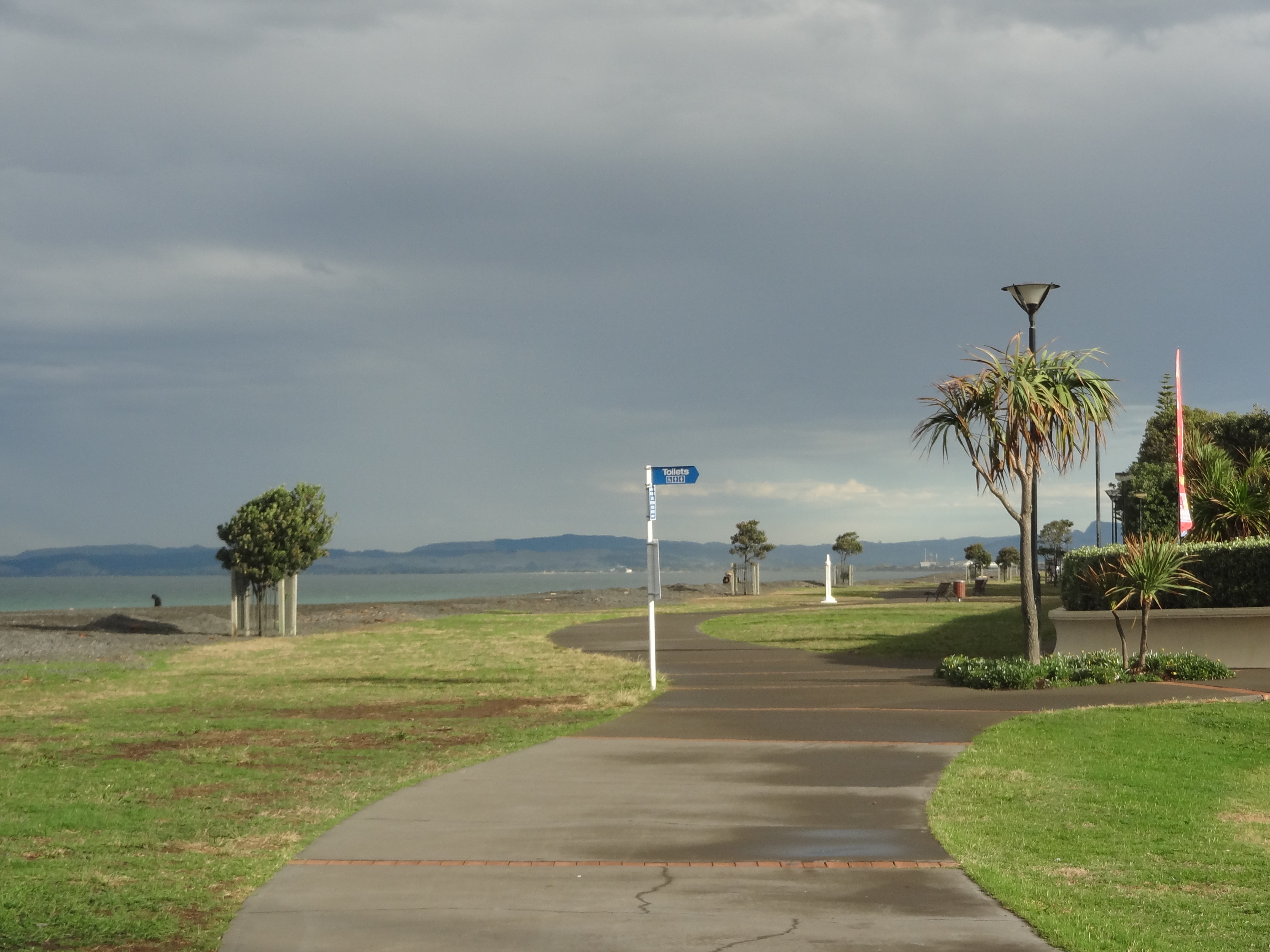
Down by the beach

2015-04-10 15.56.21

2015-04-10 15.58.36

2015-04-10 16.00.36

2015-04-10 16.16.49

And the wharf:

2015-04-11 11.47.06

2015-04-11 11.46.46

2015-04-11 11.47.33

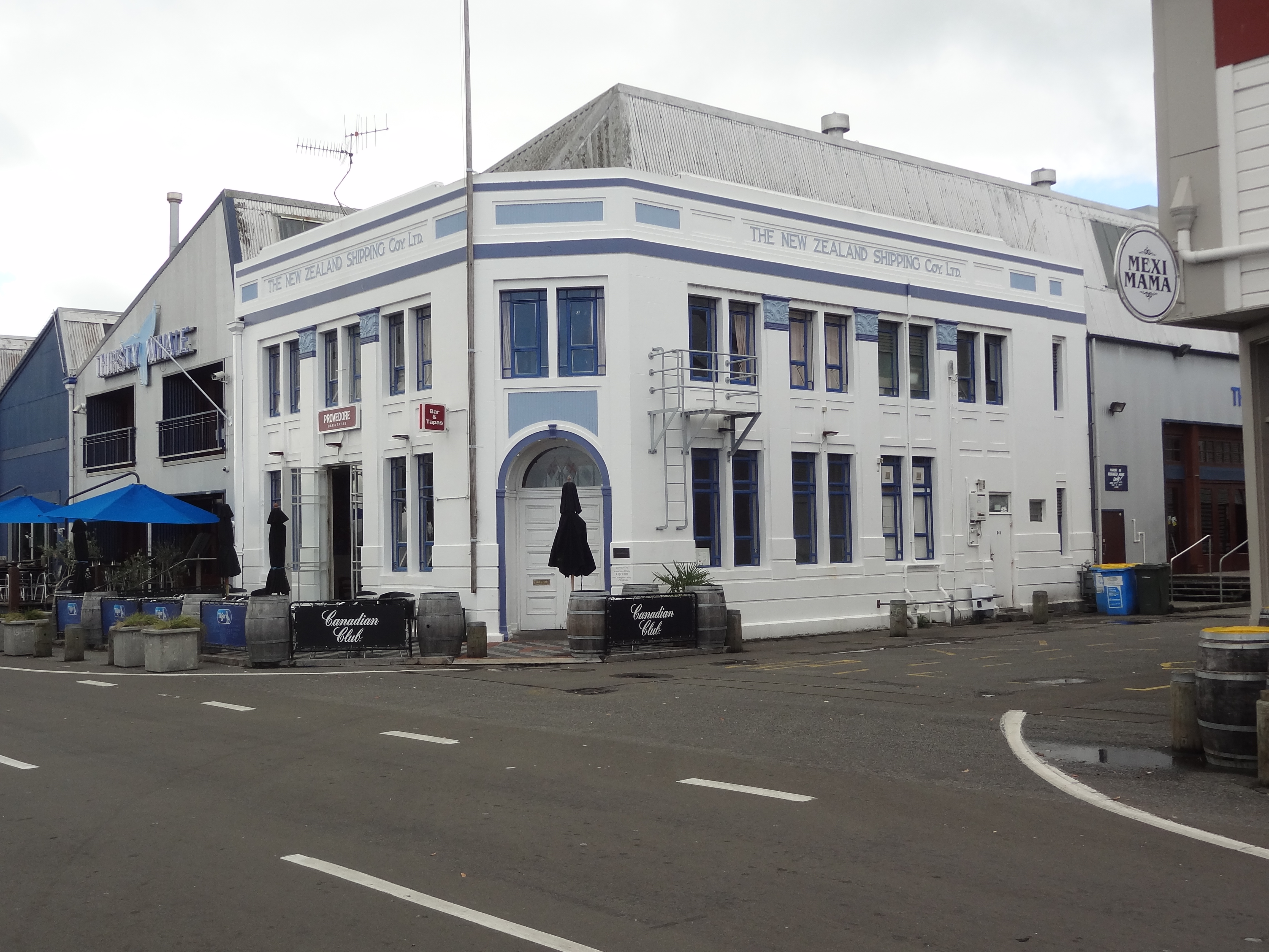
The town is a tad disjointed as the older wharf area with buildings pictured above, once occupied as warehouses and the like but now occupied as trendy bars, clubs and restaurants is a good 5 minute drive from the city centre. The wharf comes alive in the evening whereas the town seemed very quiet after 5.30pm once the shops had closed, even though there was a decent number of pubs and eateries.

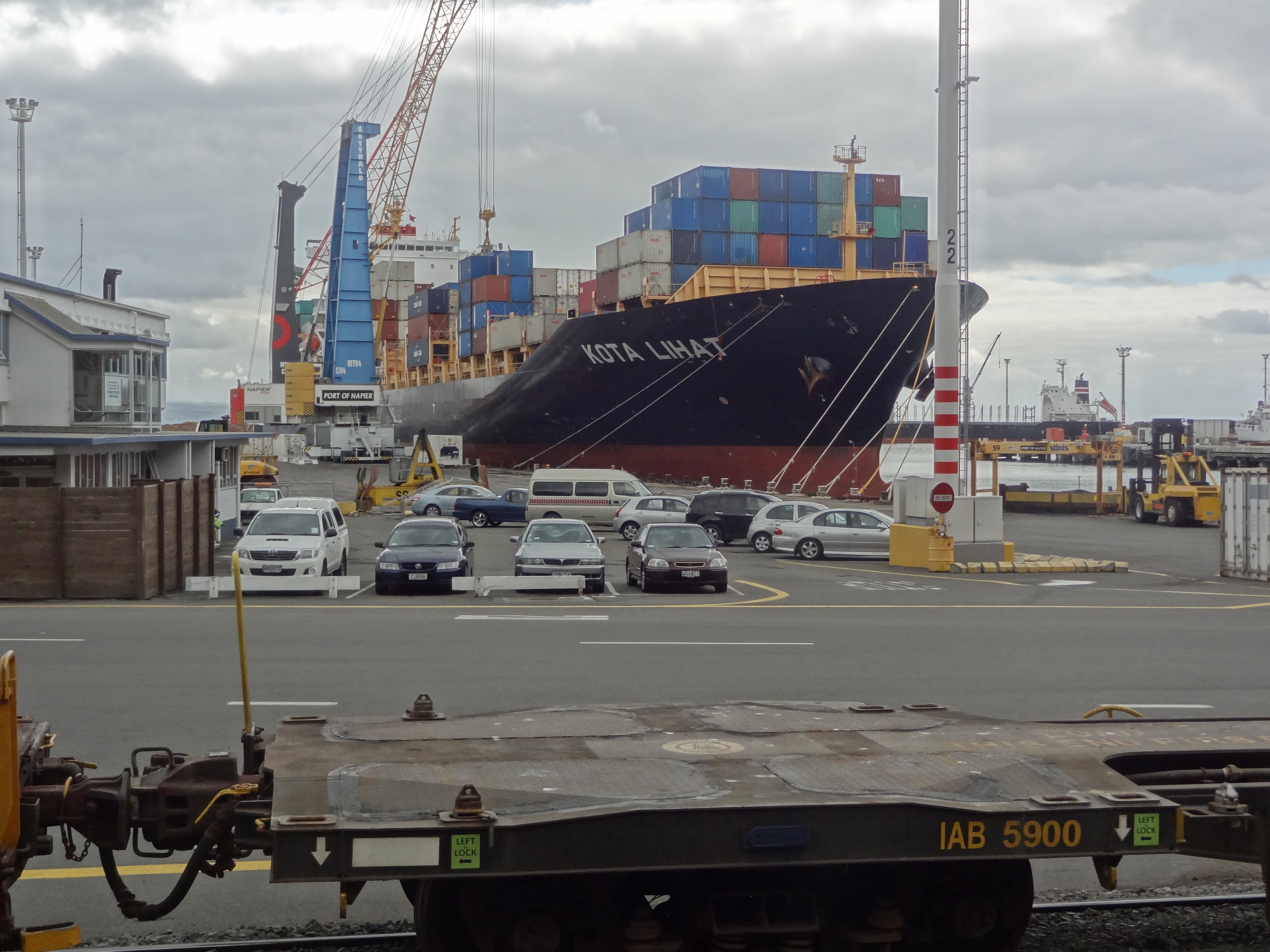
And the port

This is a proper , large working port.
This is a proper, large working port.

And finally:

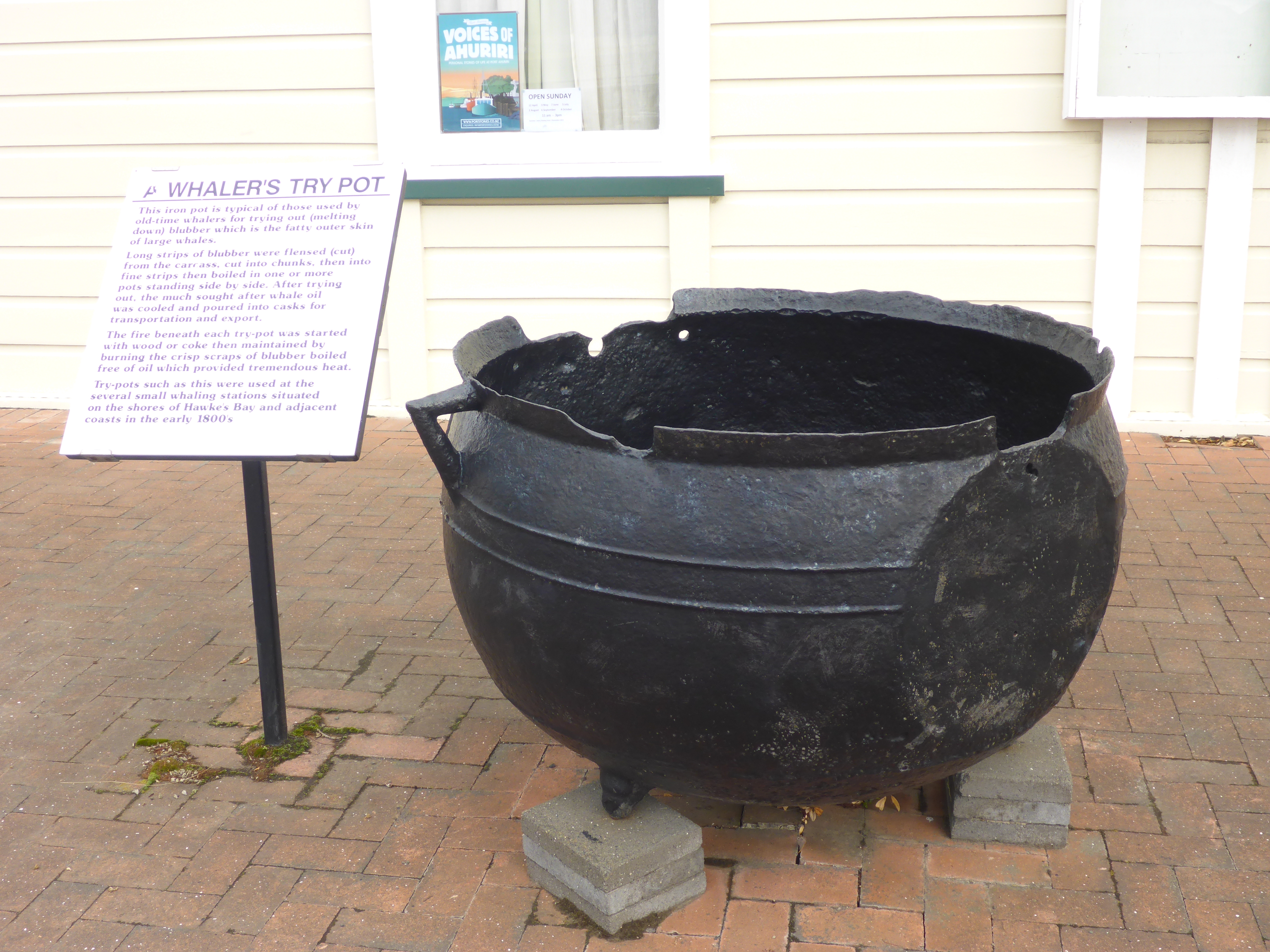
A whales pot used in the 1800s to melt down blubber to recover much sought after whale oil
A whalers pot used in the 1800s to melt down blubber to recover much sought after whale oil

En route to Napier: Mount Maunganui, Whatakane and Gisborne

Following our week on the Coromandel, our next New Zealand “must visit” was to be Napier but we had decided to stop off en-route at the beach towns of Mt Maunganui and Whatakane on the Bay of Plenty to break up what would would otherwise have been a very long drive indeed. We also wanted to visit Gisborne, a town with some history and the “Chardonnay Capital” of New Zealand en-route.

Mt Maunganui and Whatakane are actually quite close to each other and we could have stayed at just one or the other but couldn’t decide which as both seemed to have their attractions. Not being rushed for time, we spent a few days at each!

Mount Maunganui

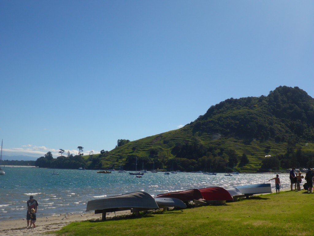
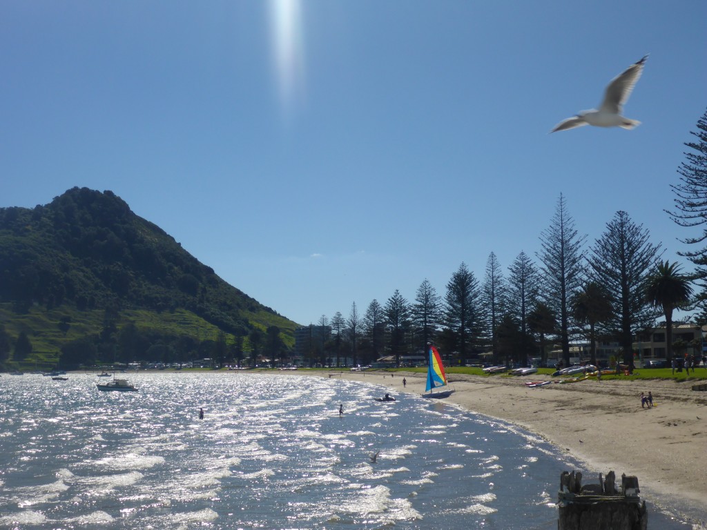
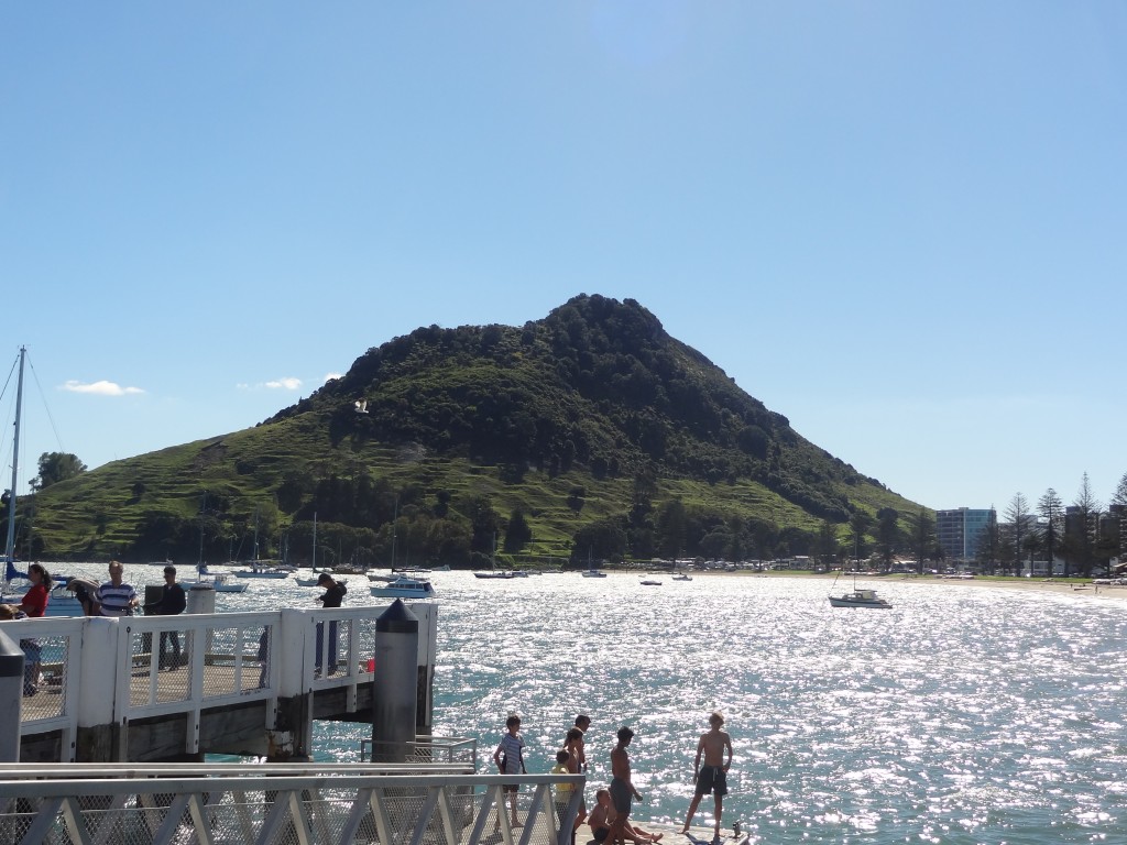
Mount Maunganui north of the Mount

2015-04-03 13.40.18

Kids jumping and diving off the jetties at Mount Mauganui

2015-04-03 13.40.29

We loved Mt Maunganui. It had such a great, laid-back atmosphere helped no doubt by the fact that this was the Easter Weekend and with great weather the town was packed with locals and holiday makers.

We arrived on Good Friday with all the many shops and supermarkets closed. But whilst the shops were closed, there are lots of bars, cafes and restaurants which mostly open on to the street and these were well and truly open open for business although being a public holiday we found it was impossible to buy a drink in a bar unless you bought a meal – and in most places there was a 15% Public Holiday surcharge on prices which we found applies on all Public Holidays in New Zealand.

There was a great buzz about the place and we ditched self catering for this long weekend and enjoyed a few drinks and nice meals including excellent Turkish, Thai and Indian – we really were spoilt for choice.

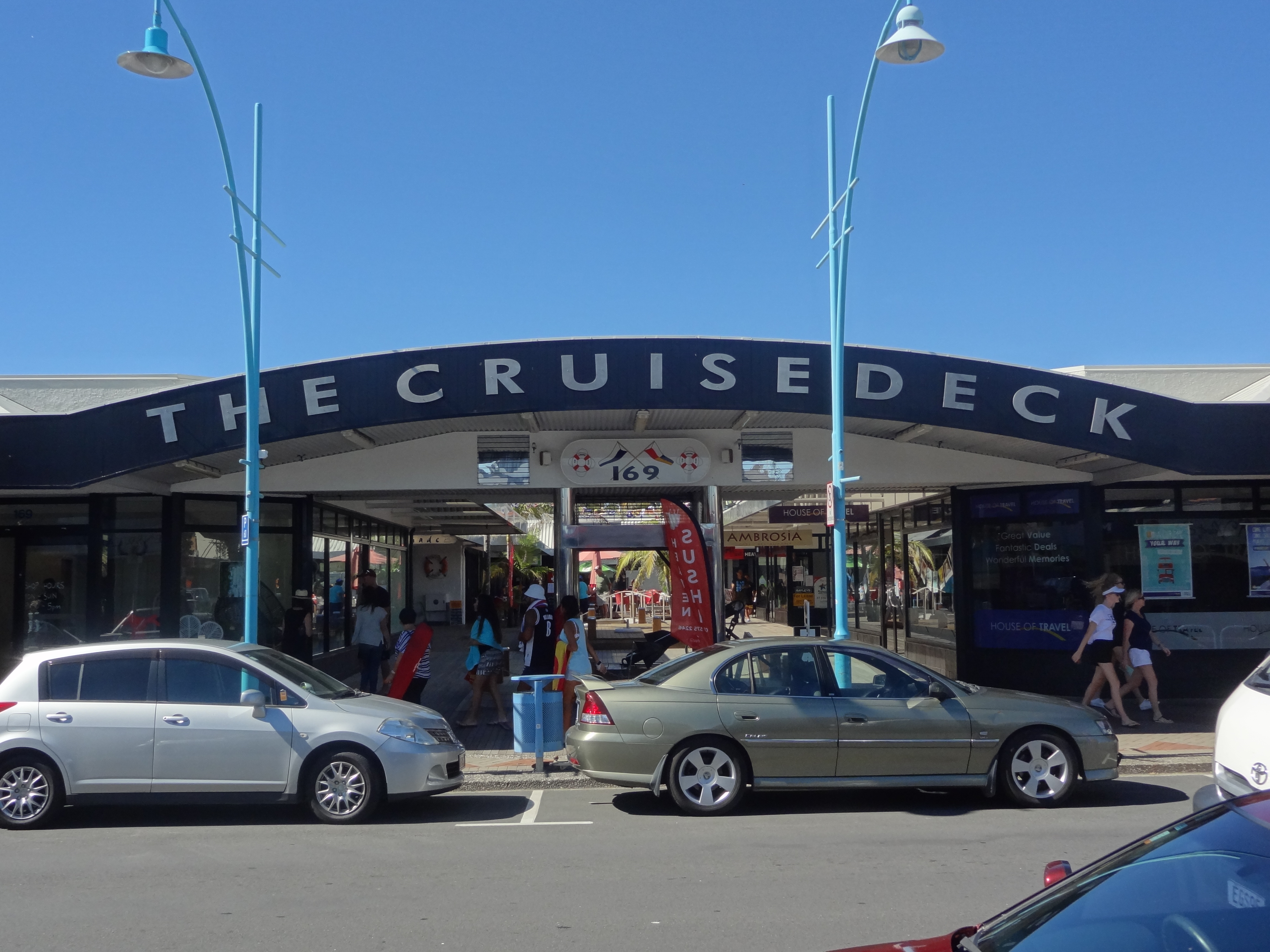
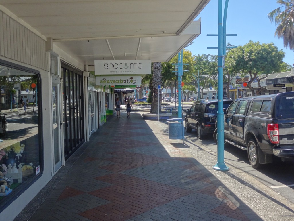
Mt Maunganui main street
Mt Maunganui main street scene

2015-04-03 13.31.47

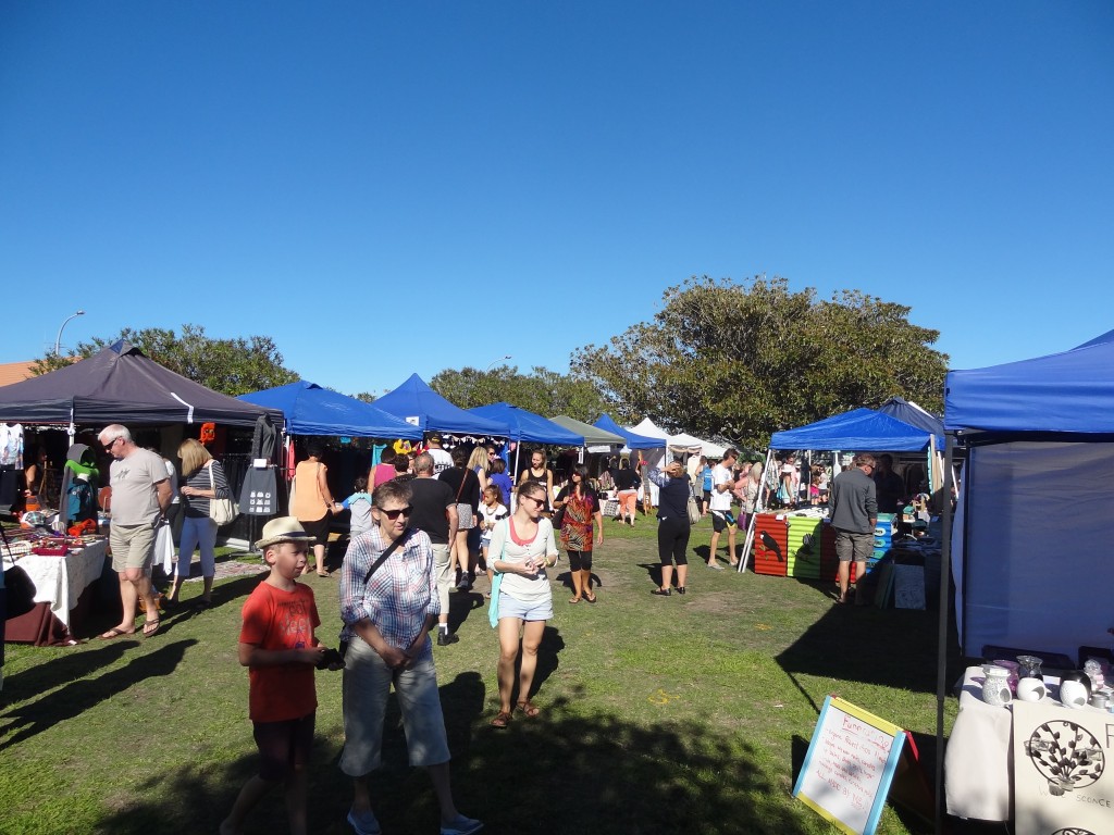
Easter Market at Mount Maunganui

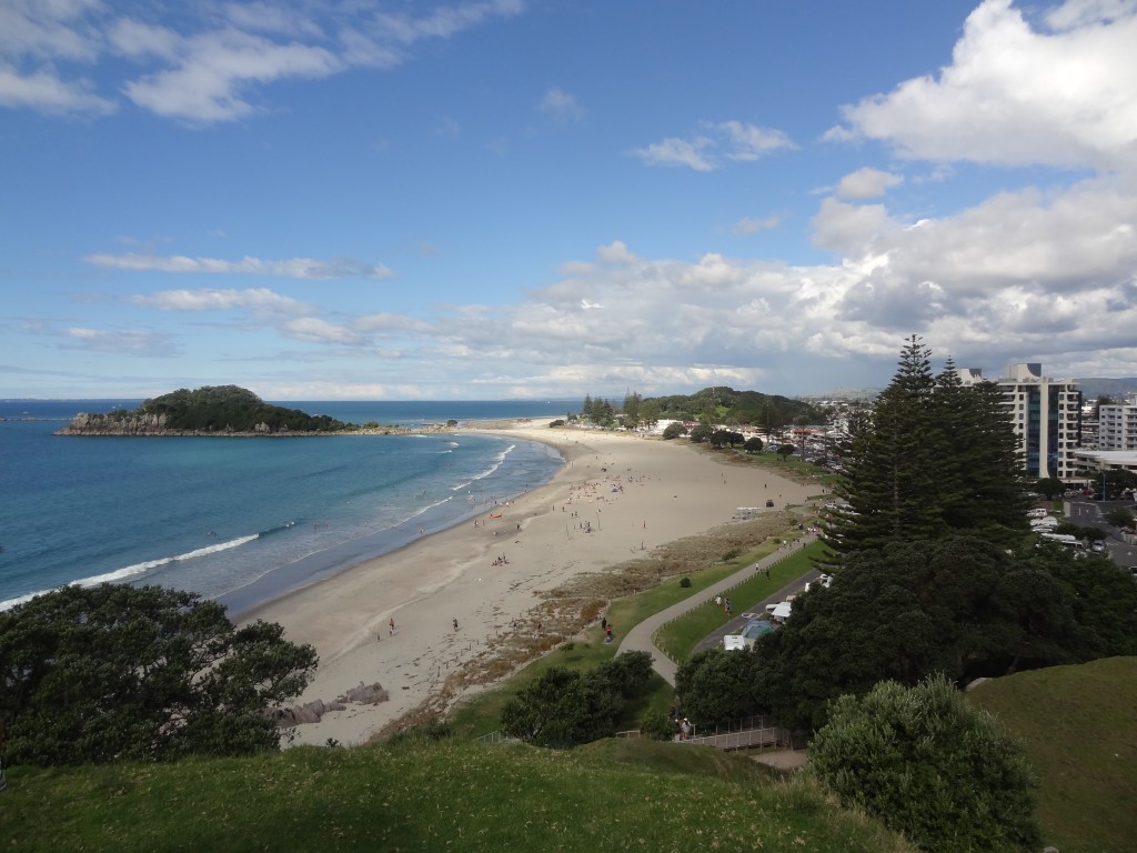
Views from the Mount

2015-04-05 14.49.24

Great views from The Mount

2015-04-05 14.17.30-1

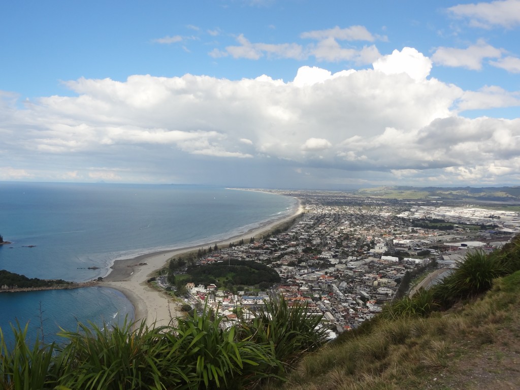
Mt Maunganui lies on a peninsular in the Bay of Plenty and the Mount is actually an extinct volcanic cone at the end of the peninsula. The Mount stands at 232 metres to the summit and provides some nice walking with a couple of tracks winding around it. It’s an easy climb and provides some great views and it’s actually Tripadviser’s number one thing to do in town.

There are great beaches here popular with surfers and families alike. The beach seems to stretch on for miles but even on this beautiful Easter weekend, the beach was nicely busy but still far from crowded. As we found in most towns in this country, there are first class facilities here for its citizens and visitors to make the most of the outdoors with ample toilets and picnic areas, etc. provided with public barbecues and showers for washing off sand.

Whatakane

After three nights at the very good Mission Belle Motel in the centre of Mt Maunganui we drove on around 90 ks to Whatakane which claims to be the Sunshine Capital of New Zealand with its main beach, Ohope Beach, apparently voted New Zealand’s most popular beach. No doubt these facts are true but sadly the weather took a turn for the worse as we arrived and we had a cloudy and rainy few days here and as a result decided not to visit White Island, New Zealand’s only active marine volcano. White Island is 50kms off the coast and gets rave reviews for its flora and fauna but this wasn’t a cheap trip and it just didn’t sound attractive in such grotty weather.

Weather notwithstanding we did manage a decent half day walk with a few hours beach fishing. Otherwise we made good use of the wet weather managing to get a few chores done including haircuts and a visit to Specsavers where Ann ordered a year’s supply of contact lenses at a terrific discount price which we would collect at another location a few weeks ahead.

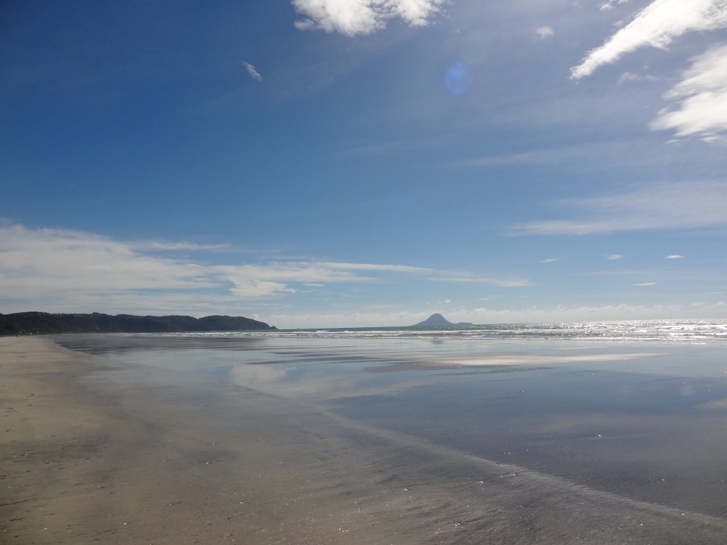
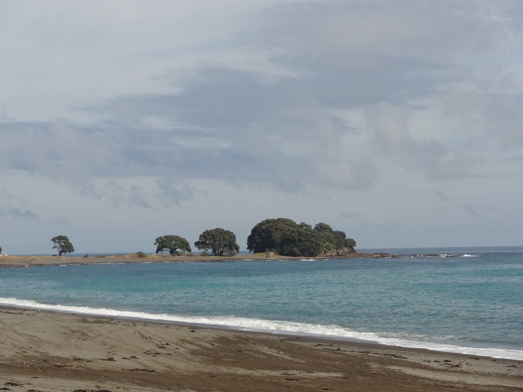
The only photograph of our short visit to Whatakane that's worth showing. Tuope Beach with White Island just visible in the distance
The only photograph of our short visit to Whatakane that’s worth showing. Ohope Beach with White Island just visible in the distance

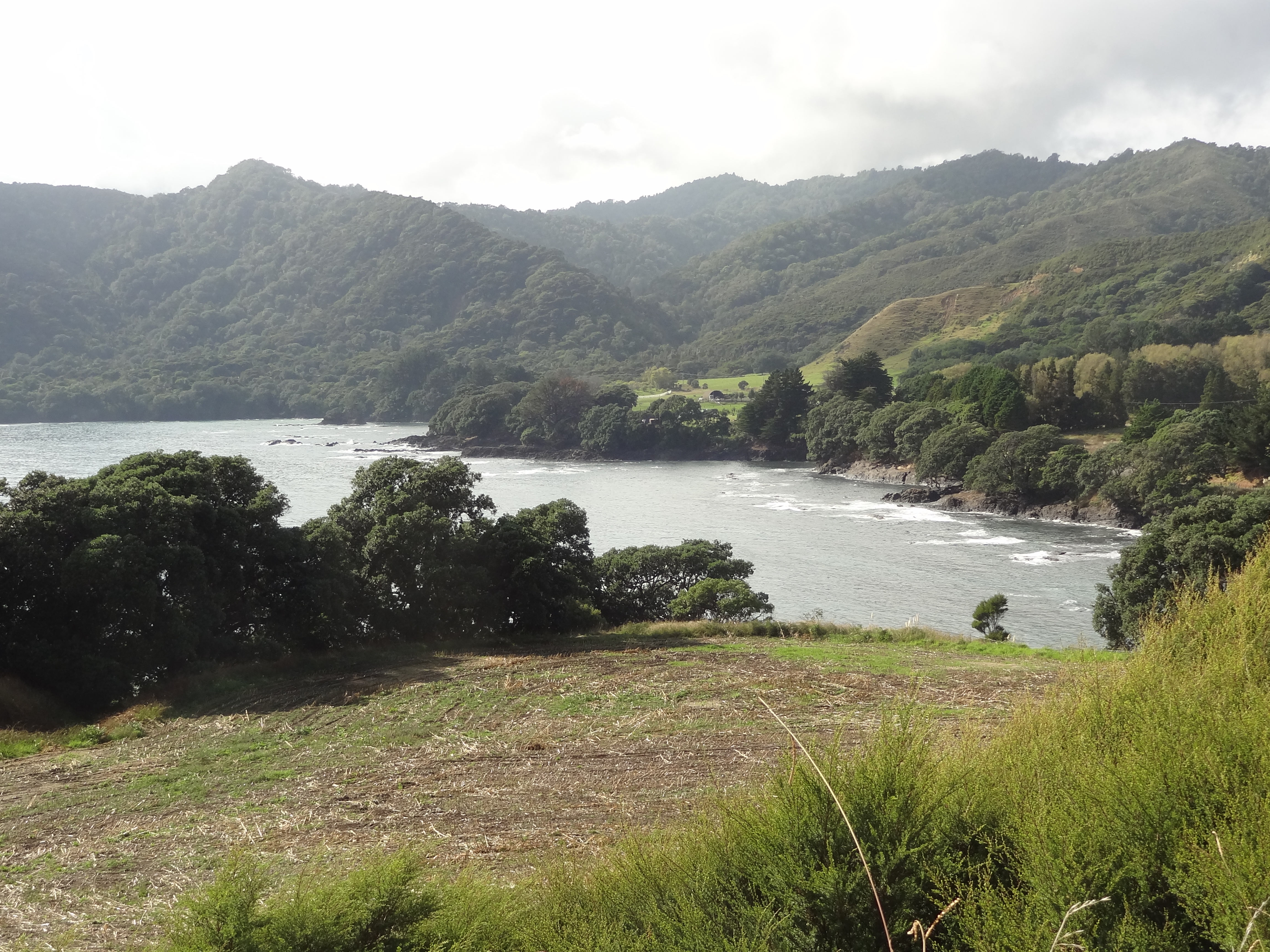
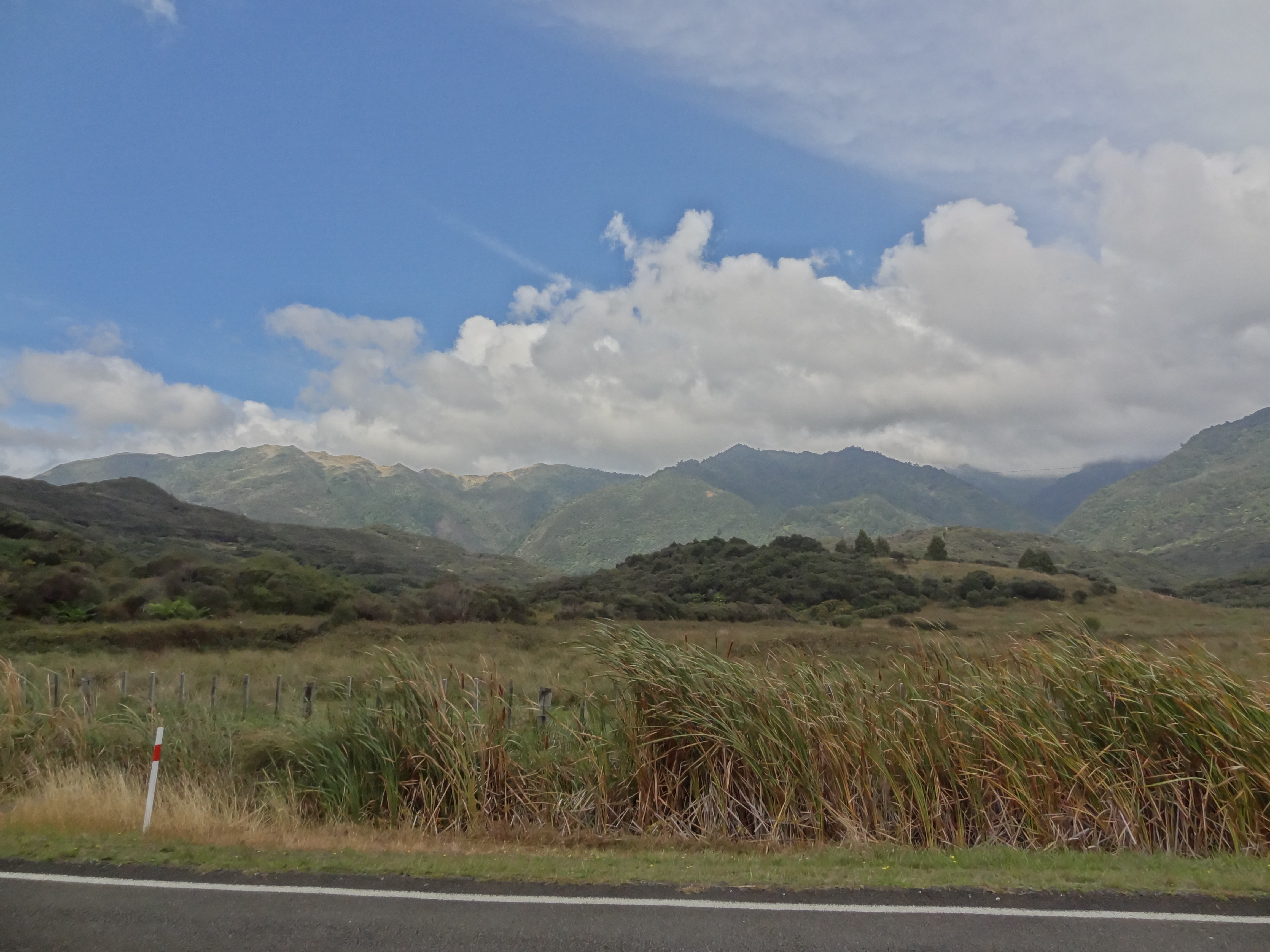
We left Whatakane for Gisborne via the Pacific Coast Highway on 8th April. We had decided to travel via the remote East Cape, the most easterly point in mainland New Zealand,a trip of well over 300kms which doesn’t get much tourist traffic as it’s so far off the beaten track but it gets rave reviews as one of the best scenic drives in New Zealand. On the day we thought twice about taking this route as the weather forecast had been for continuing heavy rain but in the event it seemed to be clearing and our friendly motel keeper convinced us we should do the long drive as it was “not to be missed.” The drive was indeed awesome with the first 150km or so being along the coast with a mix of rocky headlands and mostly dark sand beaches. There is then a long stretch of road inland passing remote hill farms and nothing much else other than a place making Manuka honey before the road hits the ocean again at Hicks Bay.

This really is a remote drive. There are very few settlements.2015-04-08 10.09.14

2015-04-08 10.39.222015-04-08 11.45.19

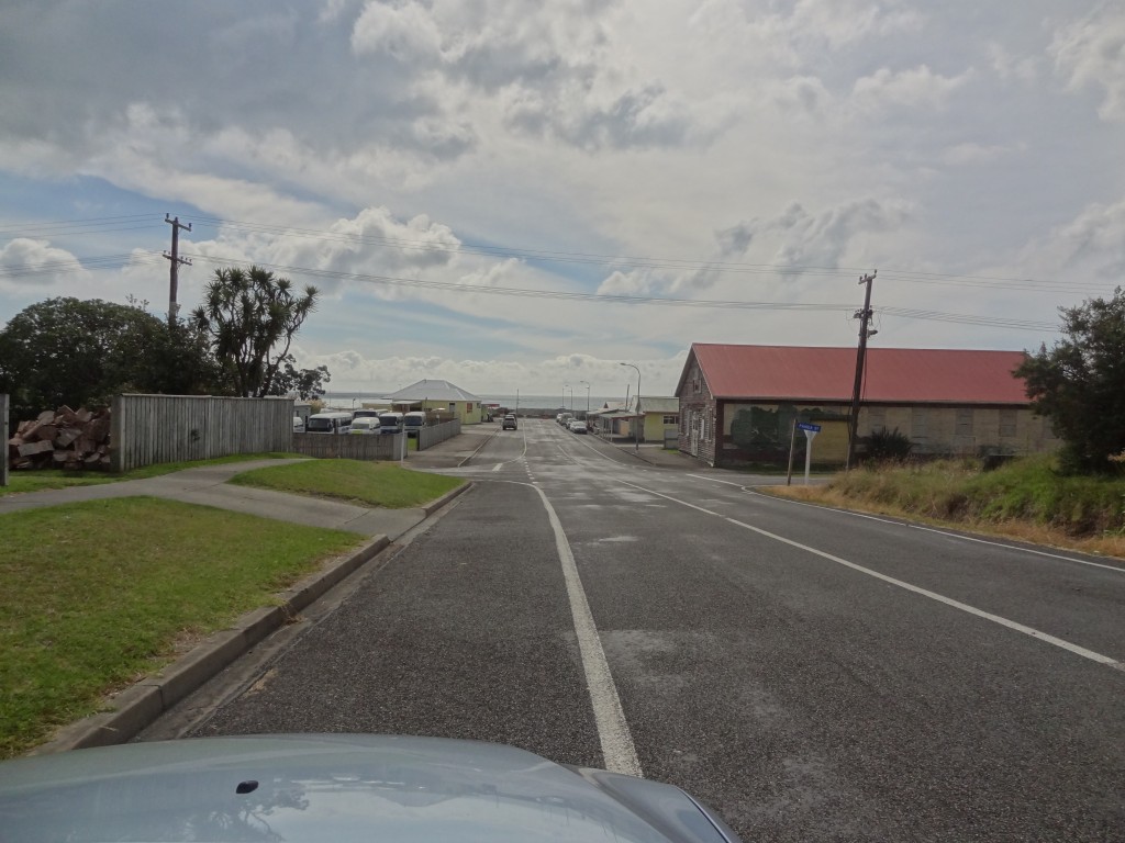
On the Motelier’s advice we had planned to stop for lunch at Te Araroa, the biggest settlement in the north with a population of approximately 600, around 20kms or so south of Hicks Bay and the gateway to the Cape itself. In the event we didn’t find Te Araroa the most attractive lunch stop. It consists of a collection of half a dozen shabby buildings including the omni-present Four Square Supermarket, a police station and a cafe overlooking a scruffy beach which seemed to be undergoing some kind of drainage works. It wasn’t pretty and worse still we discovered that the 22km one way road to the Cape point lighthouse was mainly unsealed. We didn’t much fancy a very slow round trip of almost 50kms on rough roads and decided to give it a miss and drive on to look for a more agreeable stopping place.

Araoke - we chose not to stop for lunch. In fact ,as you can see , we didn't even stop and get out of the car !
Araoke – we chose not to stop for lunch. In fact, as you can see, we didn’t even stop and get out of the car !

2015-04-08 12.58.15

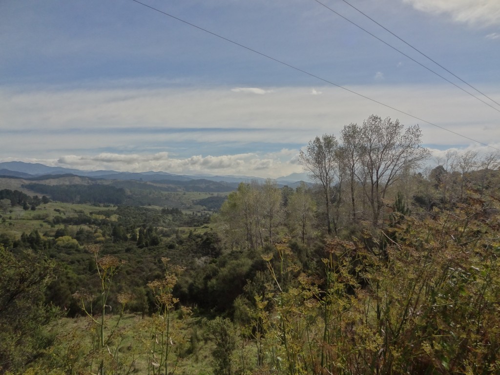
Typically there are picnic stops galore in New Zealand but like everywhere you can never find one when you need one. We ended up driving quite a distance and eventually stopped at the larger town (population c750) Ruatoria a further 40km south. This town, like each of the settlements we passed through in this area was clearly predominantly if not entirely Maori. In truth it was definitely a tad “rough and ready” – we saw two police cars in the town when we hadn’t seen a single one anywhere along this route. But at least we found some picnic tables to make up and enjoy some sandwiches for lunch.

We saw lots of Marae and pou and other evidence of Maori culture in this East Cape area. Marae are buildings used by Maori tribes for community use, meetings, celebrations, etc. and pour are tall, carved and coloured poles like totem poles which mark land boundaries or have some cultural or ancestral significance to the community. The people in this area are the descendants of some of the original Maori settlers who landed here from East Polynesia in the 13th Century. At one village where we stopped for an ice-cream, the signs in the Four Square Supermarket were entirely in the Maori language, something we hadn’t seen before.

More photos en-route to Gisborne

2015-04-08 10.32.50

2015-04-08 12.58.15

Much of the road after Ruatoria down to Gisborne is inland until the last 15 or 20KMs when the road opens up to the ocean again with some magnificent huge beaches with big rolling waves but unfortunately the rain was such it wasn’t worth stopping for a photo.

We arrived at Bella Vista Motel, Gisborne late afternoon. Bella Vista is some kind of a franchise arrangement and there are many BVs around New Zealand. We stayed in a few and the standard is consistently good.

The motel was a couple of KMs out of town but we needed to stretch our legs after being in the car all day so we walked in to look for somewhere to eat. We struggled.

Gisborne is quite a big town in New Zealand terms. The population is over 35,000 but it seemed almost deserted by 5.30pm. It isn’t peculiar to Gisborne but we have found that in most towns shops close at lunch time and close for the day at 5/5.30pm if not earlier. A few takeaways and cafes were open but nothing appealed. Eventually we came across a nice wine bar but although we were able to get a drink, the only available tables for dinner were outside and on a coolish evening that wasn’t for us. It was dark by now and we were getting desparate to find somewhere when we spotted a big Irish pub that offered food. We had a beer but the menu didn’t excite and the food didn’t look great. We settled for cheese and wine in the motel!

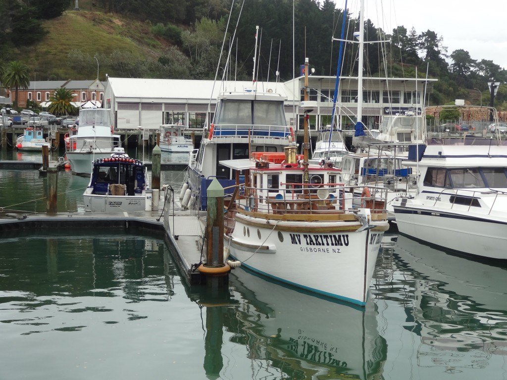
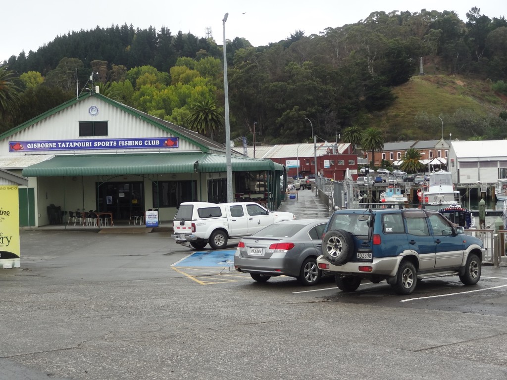
We awoke to rain the following morning but it cleared for a while and we risked a riverside walk of an hour or so into town via the town’s Botanical Gardens which were very nice even on a wet day with a great array of plants and an aviary. Taking the river walk into town brought us to the harbour area of town. The harbour is very much a working harbour albeit with a lot of boats offering fishing trips but it’s not an unattractive place and has some decent looking restaurants and bars including the ubiquitous Sportfishing Club – every coastal town seems to have one of these.

We walked into town via the Botanic Gardens and River Walk despite the rain

2015-04-09 10.45.42

2015-04-09 11.07.21

2015-04-09 10.55.43

2015-04-09 11.17.27

There is a nice harbour with a number of bars and restaurants
and in N Z there is always a Sport Fishing Club with bars and restaurant....
and in N Z there is always a Sport Fishing Club with bars and restaurant….

The weather turned showery as we reached the harbour and we completed a tour of the town in double quick time. Its’ fair to say we didn’t see this place at its best in the dismal weather but we found little of attraction and nothing that would draw us back to the place even though the Botanic Gardens, riverside and harbour areas are pleasant enough and of course there are over 40 wineries in the area!

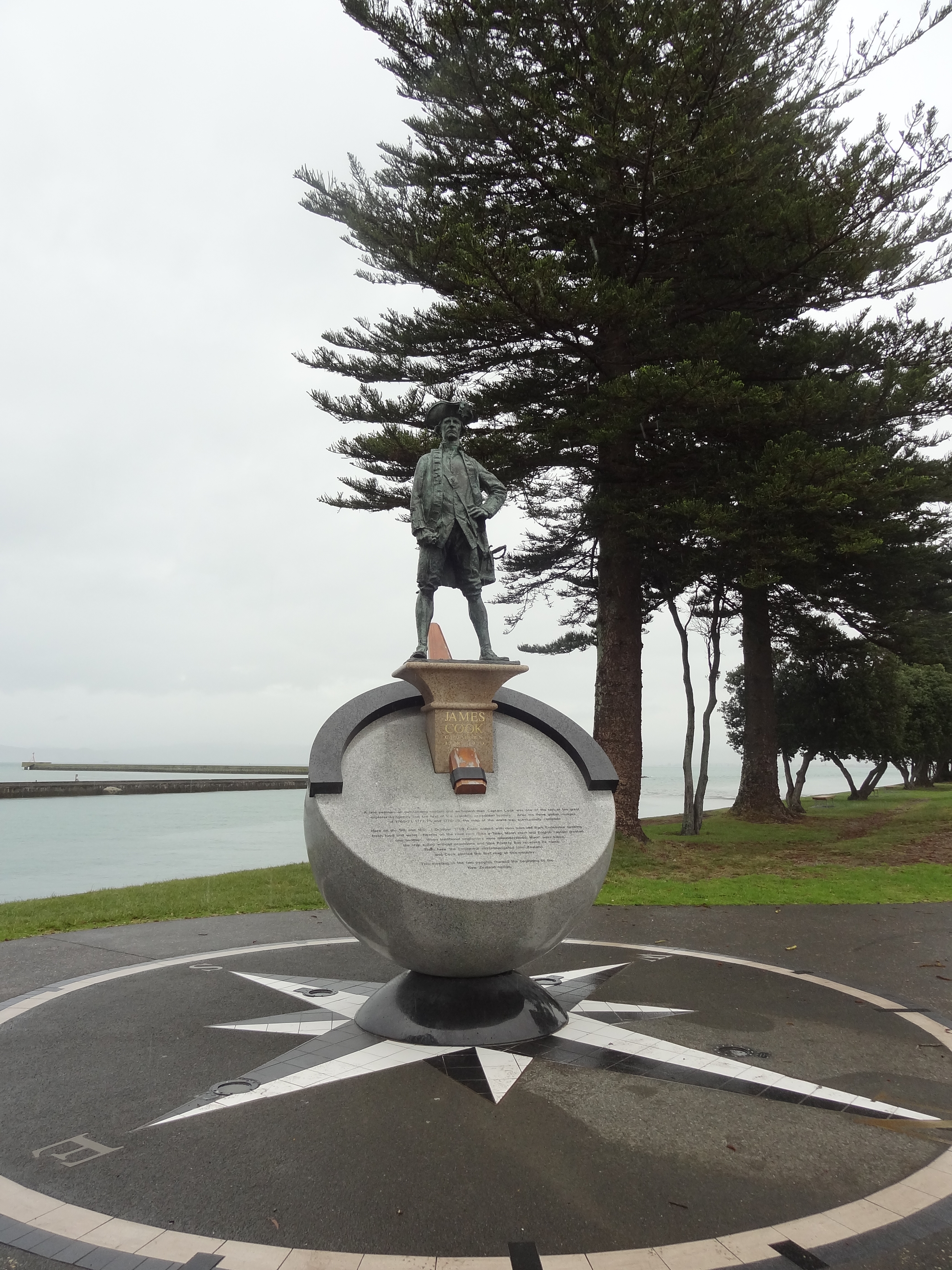
However, the town does have an interesting history. Maori first landed here in the 1300s and 400 + years later, in October 1769, it was here that Captain James Cook first set foot on New Zealand from his ship Endeavour. There are memorials to Captain Cook and also to Young Nick, a 12 year old crew member who was the first to spot land from the mast head.

Memorial to Captain James Cook
Memorial to Captain James Cook -there’s also one to Young Nick

After our quick tour of the town we retired to the comfort of an excellent Indian restaurant for a leisurely late lunch and then returned to our motel late afternoon, nicely mellow, for a catch up on paperwork. The following morning we would move on to Napier.

Coromandel Peninsula

Following our trip North to Bay of Islands we were to travel around North Island in a clockwise direction first of all re-tracing our journey back down the  Pacific Coast Highway to and through the outskirts of Auckland and then East to the Coromandel Peninsula, a very popular area for Kiwi family holidays. We would then travel the coast along the Bay of Plenty, then the East Cape drive around to Gisborne and then Napier to Wellington in the south  before wending our way back to Auckland.

En route to the South we stopped by an electrical superstores where we had ordered a Garmin sat nav device over the phone the day before. It proved to be money well spent and especially so in Australia.

The next couple of weeks would be very much a beach holiday hopefully doing not a lot  other than a bit of sight seeing and walking.

We had booked  an apartment for a week in Whittianga, a small town around midway up the east  coast  of the Coromandel  which would be a good base to get around.

The apartment at Marine Park Apartments was close to the Marina and turned out to be perfect for our needs, spacious with a full kitchen so that we could self cater properly when we wanted to and with a balcony providing some outside space. There was also an outdoor swimming pool which we did make use of one afternoon.


Here are a few photos of Whitianga

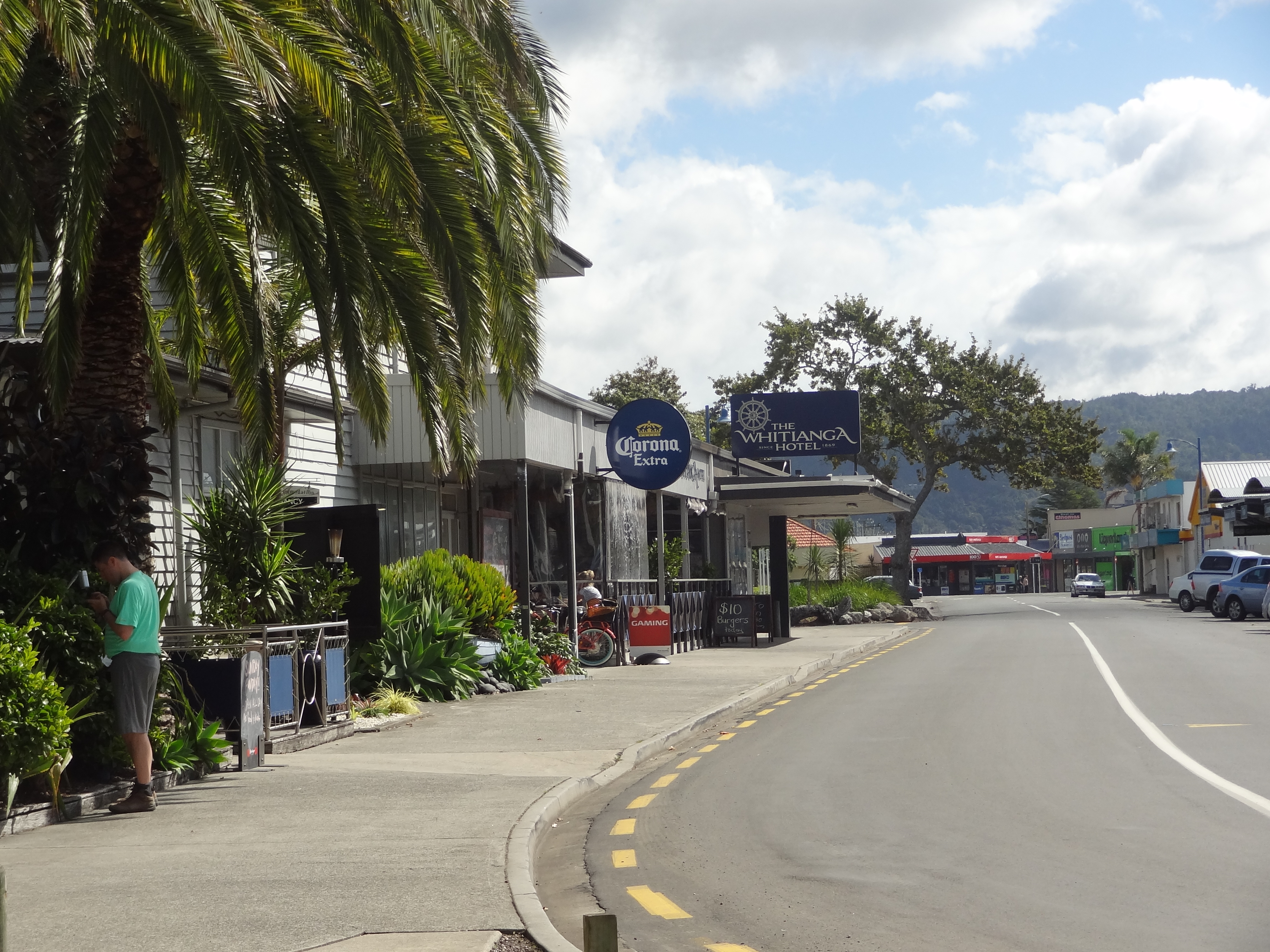
Whiting side street leading down to the Marina
Whitinga side street leading down to the Marina

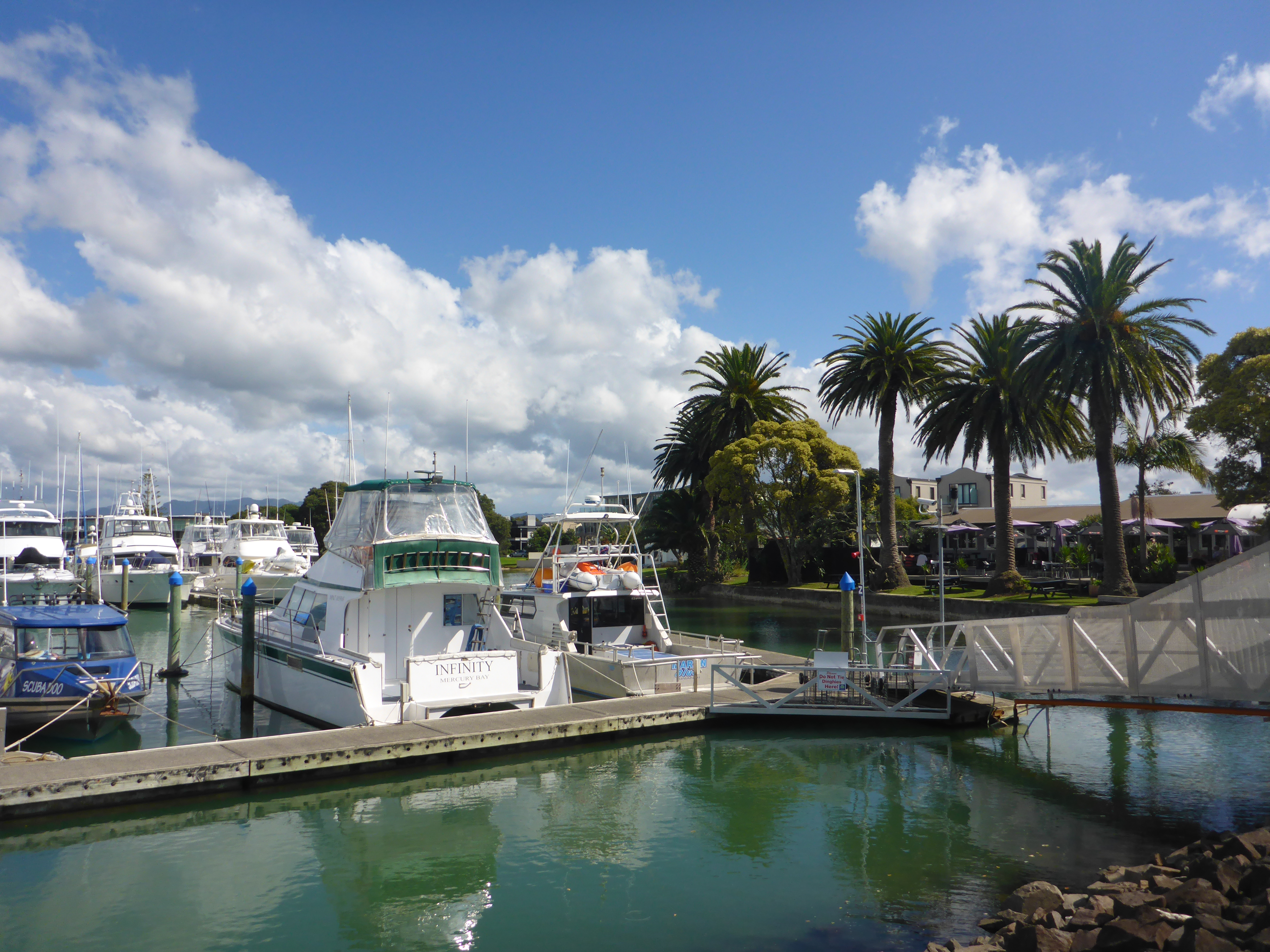
Whitianga Marina


The weather was rainy as we arrived but cleared up and was kind for most of the week although we did have a couple  days of rain which are actually quite handy on occasions as it forces us to get on with some planning or do a  budget review and chores which otherwise get put off.

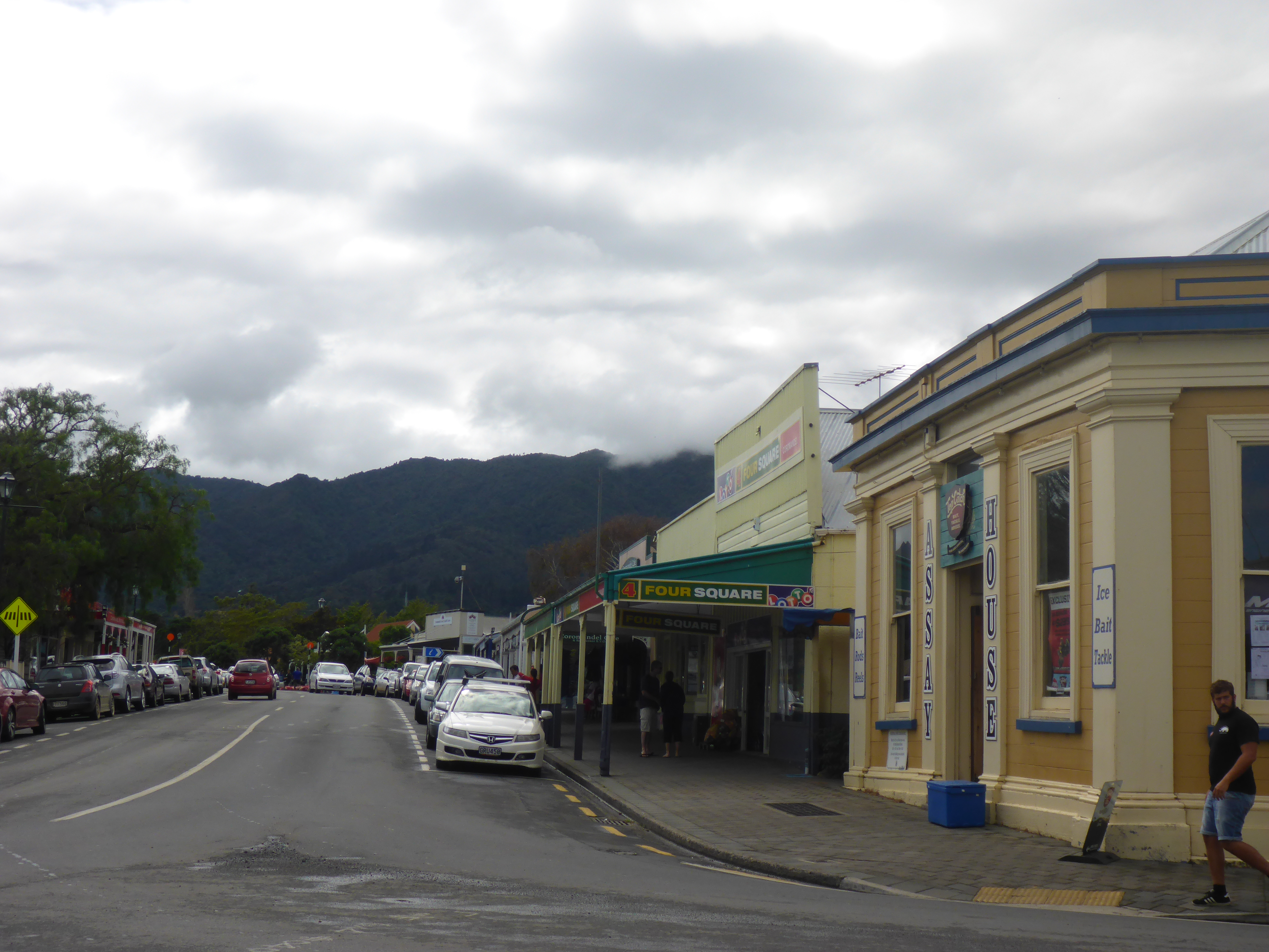
The Coromandel has some truly spectacular scenery with the usual often narrow roads winding through thick forest and then along rocky coastline with many a dog leg and horseshoe bend to keep the mind focussed on the road. Unfortunately however, the weather turned greyer and greyer as we drove East and we drove much of the road north to Whitianga in a thick mist and it was damp and miserable when we got there. Indeed our first impressions of the town in this weather were not good as we felt the  main street has a kind of  dowdy look but our impressions improved as the weather got better and indeed once off the main drag, there are some nice streets with good shops, bars and restaurants leading down to the waterfront. We came to like the place.

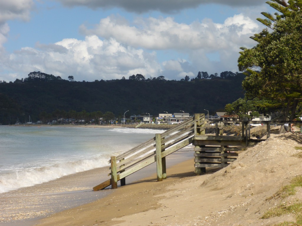
Whitianga is a small town sitting on the 5km long Buffalo Beach  in Mercury Bay, so named by Captain James Cook who visited in 1769  during his expeditions to observe the transit of Mercury. Buffalo Beach itself  was named after the ship HMS Buffalo which loaded with timber was wrecked in a storm whilst at anchor in the bay in 1840. The ship had a varied history being used at  times to carry timber, as a convict ship carrying convicts  to Australia and transporting emigrants  to Australia, New Zealand and elsewhere. It was also a quarantine ship. The wreck, or at least some of her timbers, remain in the bay and her anchor stands as a memorial on the beach front.

Whiting Beach
Whitingga Beach
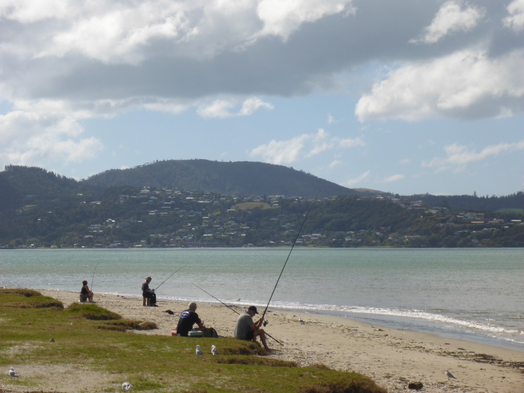
Fishing on the beach near town

The area has a long Maori history and European settlers arrived in the 1700’s. The town was originally founded on timber,  boat building and with the gold rush of the 1860’s, gold mining.

Now the economy is  based on agriculture and tourism. Our time here, when not rained in, was spent walking or on day trips up and down the coast.

One of our trips from here  was to Coromandel Town in the North West of the peninsula, a 45km drive from Whitianga. It’s a small town on an inlet forming a natural harbour and was named after HMS Coramandel which called at the port in the early 1800’s. The town was originally built on the timber industry with huge forests of kauri trees felled, milled and exported from here. The kauri forests  were decimated although some ancient trees remain in areas which were too difficult for the loggers  to reach in the olden says. The trees are now protected and as in many parts of the country there are large areas of regenerating forest  including some kauris. In the 1850’s gold was discovered here and began to be mined in the  1860’s and in it’s heyday the town had a population of over 12,000 but is now less than 2,000.

This town’s economy  is now based on tourism and mussel farming. It’s small and quaint with galleries and arty shops in some nice Victorian buildings, a small mining museum which was closed when we visited and some nice community gardens. In truth there isn’t a huge amount to see but on a nice day it’s well worth an afternoon just for the fantastic drive through  magnificent scenery with spectacular coastal views to be had from various points along the route. We had a perfect sunny day for our trip and lingered for lunch. We  couldn’t resist fish and chips from a proper fish and chip shop down by the harbour and Ann tried the muscle fritters which are popular here and elsewhere in New Zealand.

Here are a few pictures of Coromandel Town

2015-03-29 11.01.08

2015-03-29 11.02.33

2015-03-29 11.23.59


2015-03-29 11.13.38

2015-03-29 11.10.30

And here are a few pictures showing some of the views en route up the coast….

2015-03-29 12.42.47

2015-03-29 12.42.04

2015-03-29 12.16.20

2015-03-29 12.15.35

2015-03-29 12.44.42

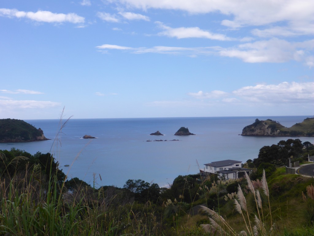
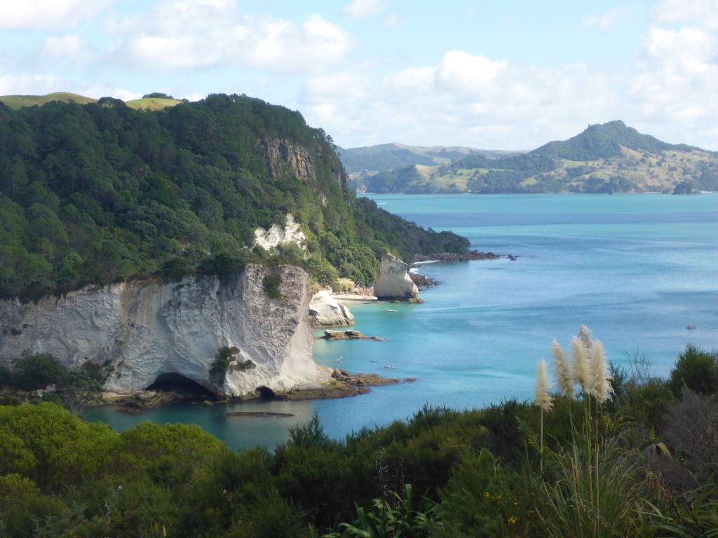
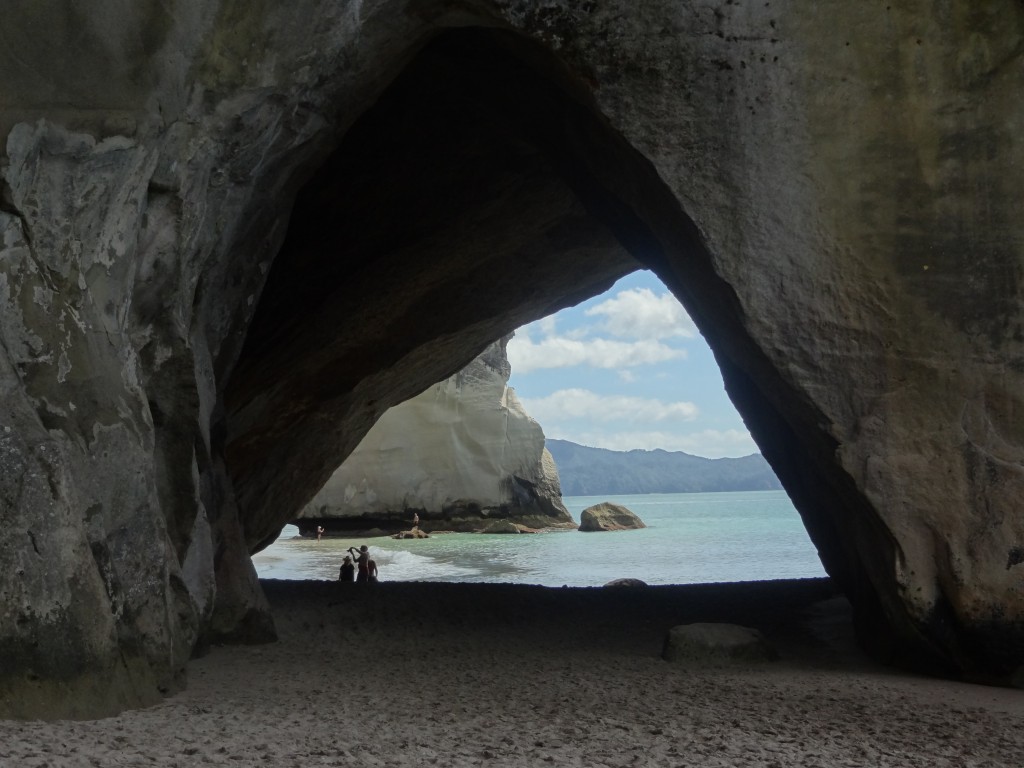
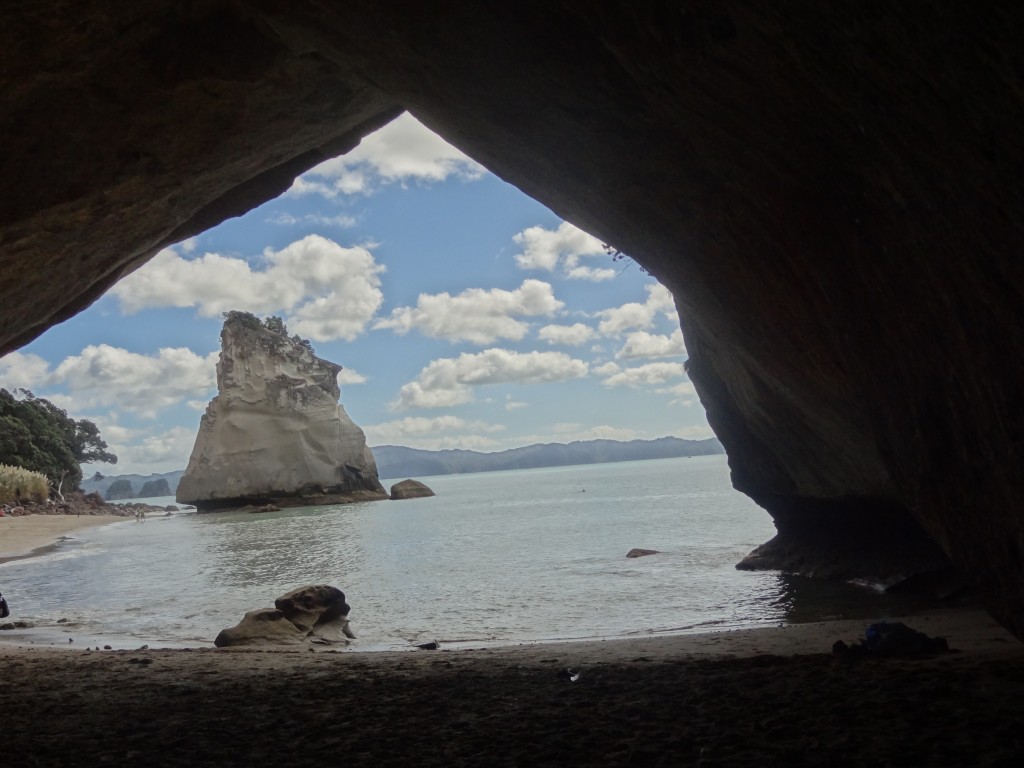
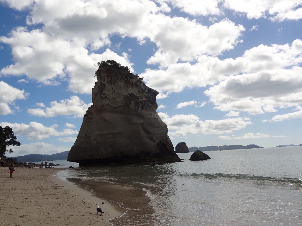
Another “must see” part of the Coromandel is the Hei/Cathedral Cove area south of Whitianga where there are lovely beaches which  in some cases , including Cathedral Cove itself, can only be reached on foot or by boat. Cathedral cove is so named after the cathedral like archway which divides the beach and there is some excellent walking here along tracks which take you to these and other beaches in the area. We did the walk over to Cathedral Beach and then back to Hei  where we had a swim on a lovely sunny afternoon. We also took the short drive to nearby Hot Water Beach which takes its name from the hot water springs which bubble up from the sand; locals and tourists turn up in droves with spades to dig holes in the sand to release the hot water to make hot water pools. Needless to say there is a thriving trade in spade hire here ! We passed by the opportunity on thiss occasion.

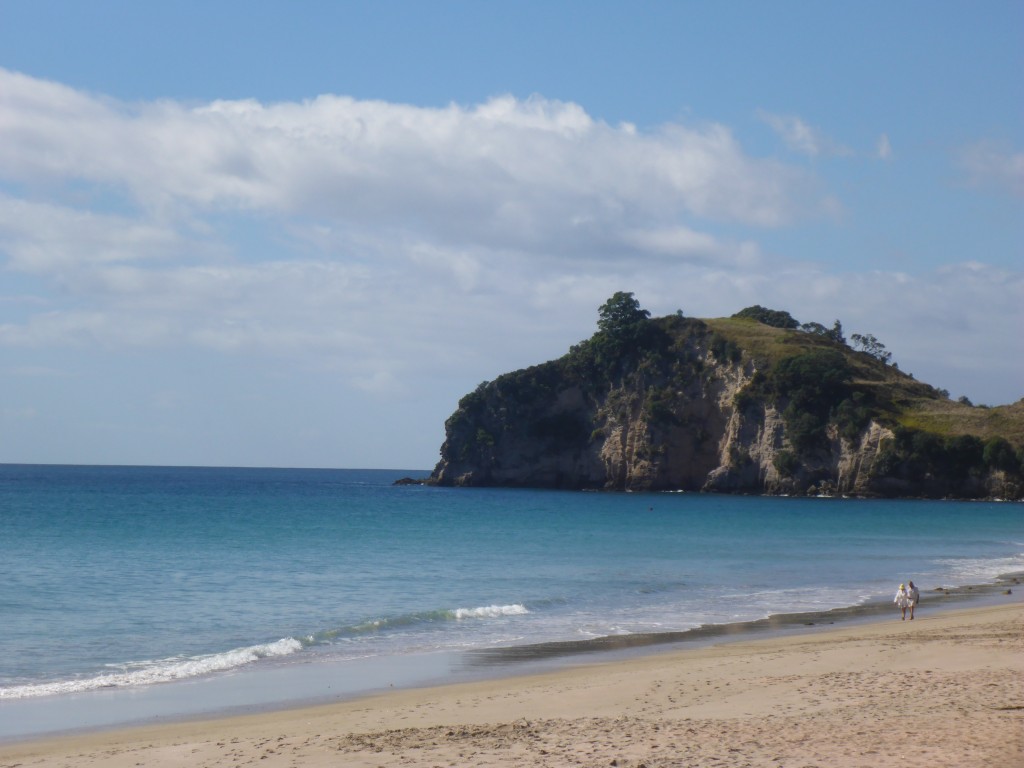
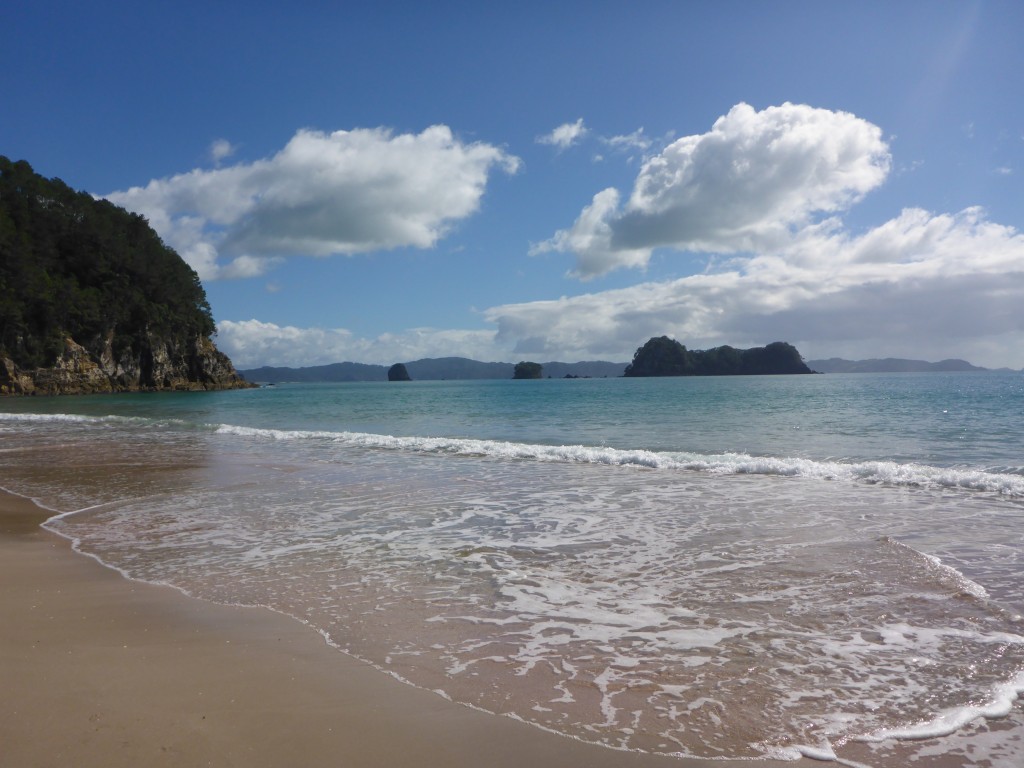
Heihi Beach

2015-03-30 10.36.41

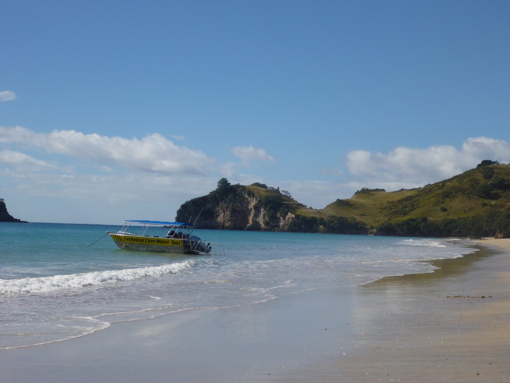
Hehei Beach with the Cathedral Cove water taxi just leaving....
Hehei Beach with the Cathedral Cove water taxi just leaving….

2015-03-30 10.41.46

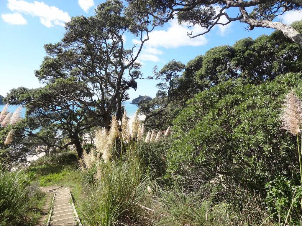
The walk to Cathedral Cove

Walking to Cathedral Cove


2015-03-30 10.59.21


2015-03-31 10.31.54


2015-03-31 10.32.32


2015-03-31 10.39.20


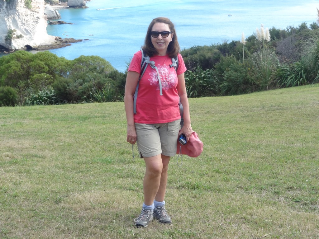
She insisted....
She insisted….

Cathedral Cove

2015-03-31 11.07.40

2015-03-31 11.10.18

2015-03-31 11.09.07

2015-03-31 11.13.00

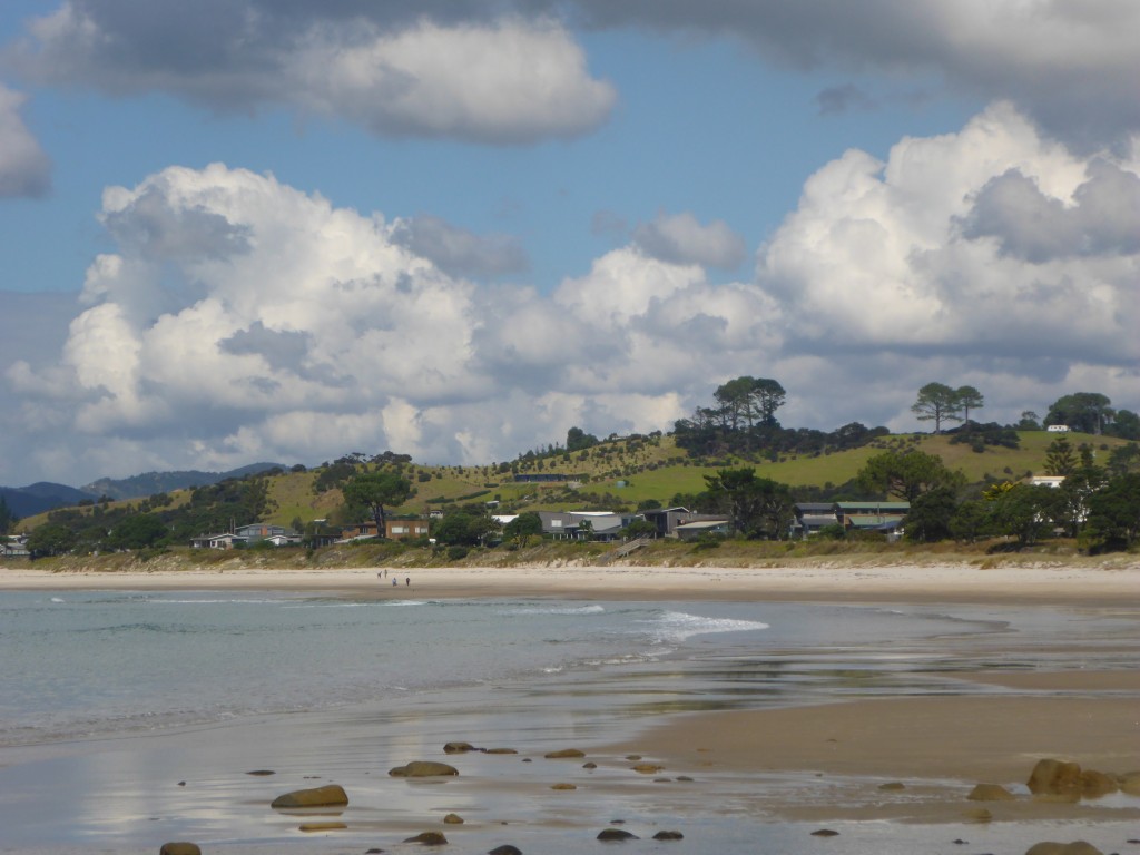
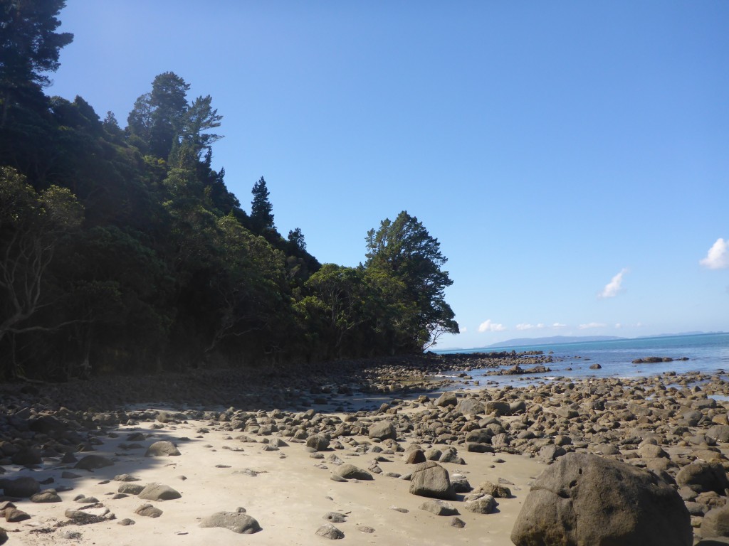
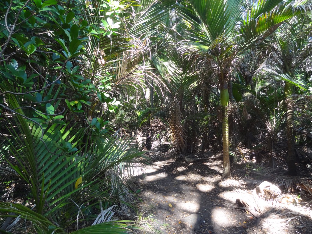
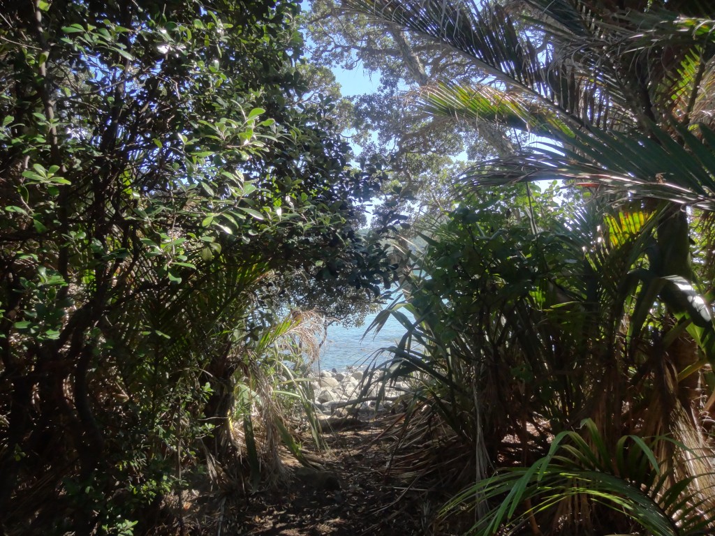
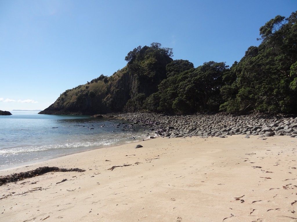
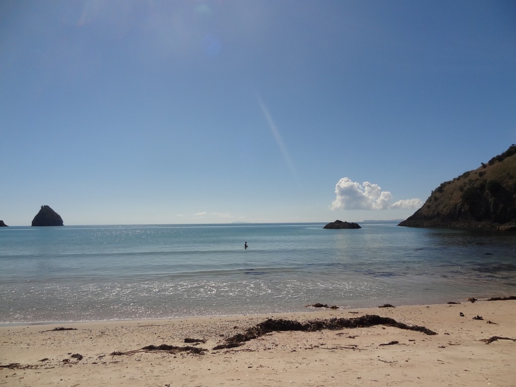
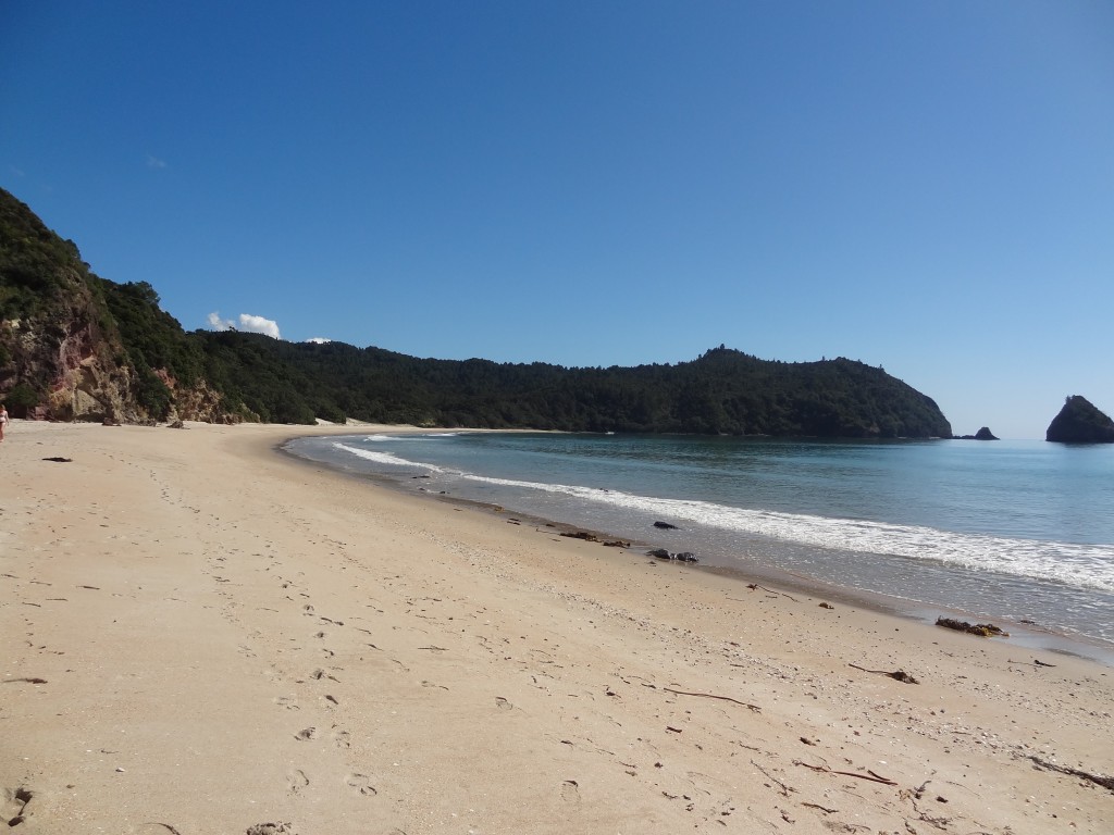
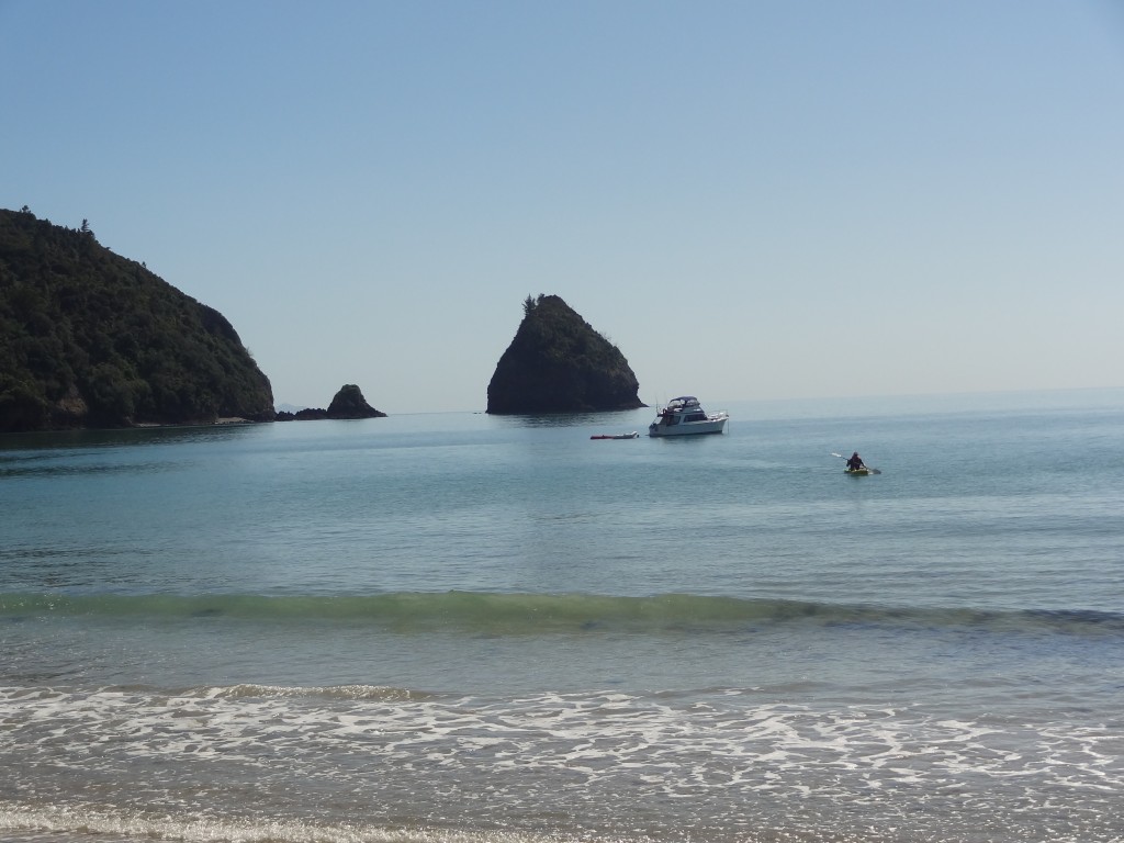
On another day we visited  New Chum Beach, a half  hour drive north of Whitianga. This beach has apparently been voted one of the world’s top 10 beaches .It’s a little bit more out of the way and is accessed from Whangapoua Beach in Wainuiototo Bay by crossing a creek at low tide then a  walk of half an hour or so across a beach which is covered in slippery black rocks and then along a track through the bush. As we intended to spend an hour or two on the beach I bought some bait and took a fishing rod along and managed to catch a couple of red snapper which I kissed and put back in the water.

Whangapoua Beach is itself stunning
Whangapoua Beach
Whangapoua Beach
Whangapoua seen from the northern end by which New Chum is accessed.....
Whangapoua seen from the northern end by which New Chum is accessed…..
A tricky scabbily walk over slippery rocks en route to New Chum Beach
A tricky scabbily walk over slippery rocks en route to New Chum Beac


2015-04-01 10.45.38

Nearly there...
Nearly there…


2015-04-01 10.49.59

New Chum Beach with a loneFisherman left.....
New Chum Beach with a loneFisherman left…..
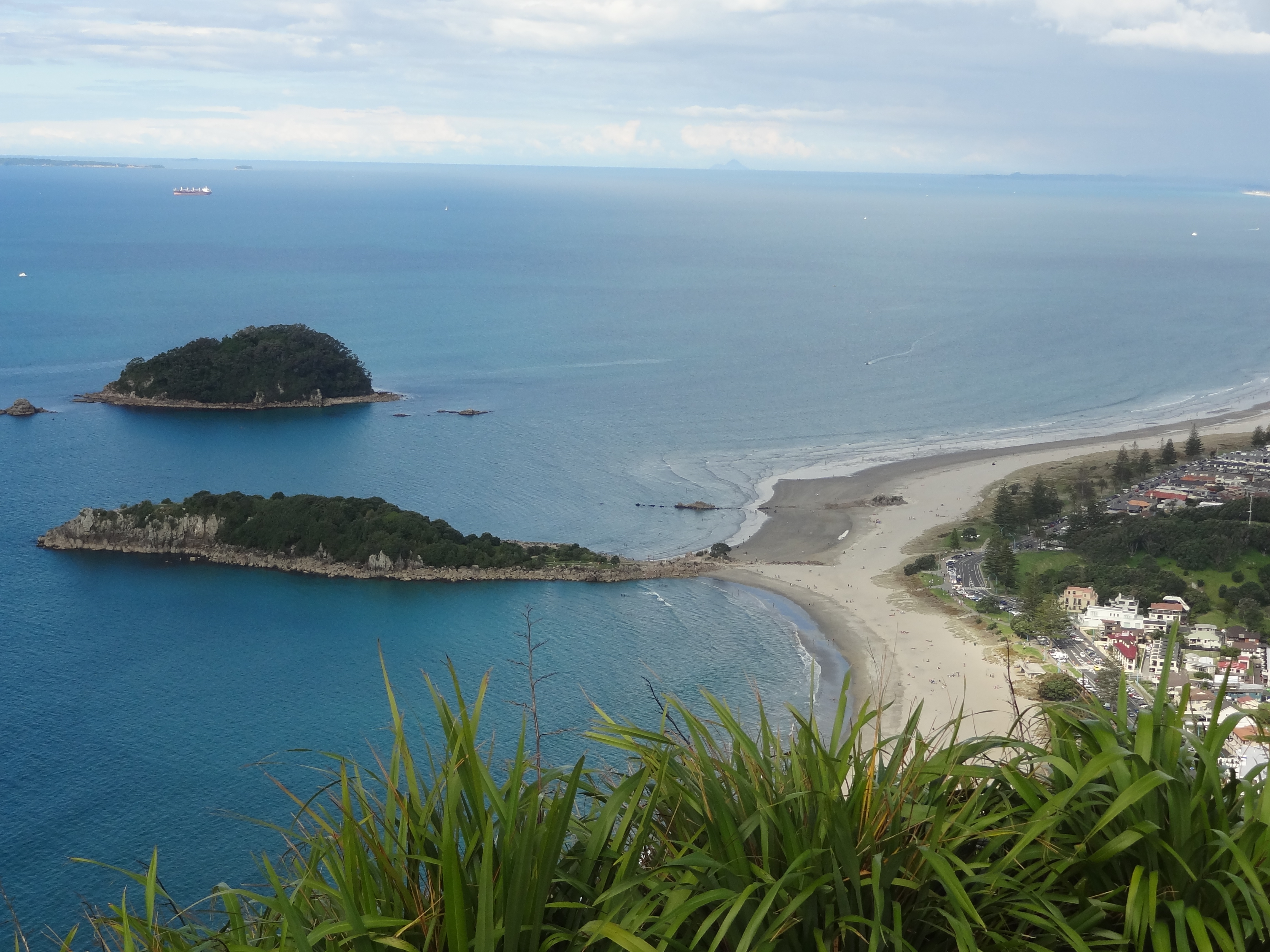
New Chum Beach - By now we have stopped trying to decide our favourite beach but this is certainly one of them.....
New Chum Beach – By now we have stopped trying to decide our favourite beach but this is certainly one of them…..

2015-04-01 10.49.25

We celebrated a nice day out with a few drinks and a meal in a very lively sports bar in town where locals were watching  Australia v New Zealand  in the cricket World Cup  – the beers were flowing and  there was a great atmosphere – although the Ozzies won in the end

On 3rd April, after  a week on the Coromandel, we  set off on another scenic drive 170kms or so down the coast to Mt Maunganui.


Bay of Islands, North Island New Zealand

A short flight from Christchurch saw us arrive in Auckland, North Island, New Zealand mid-afternoon on 19th March. This would be a fleeting visit as our plan was to spend a few days here when we left for Australia at the end of April.

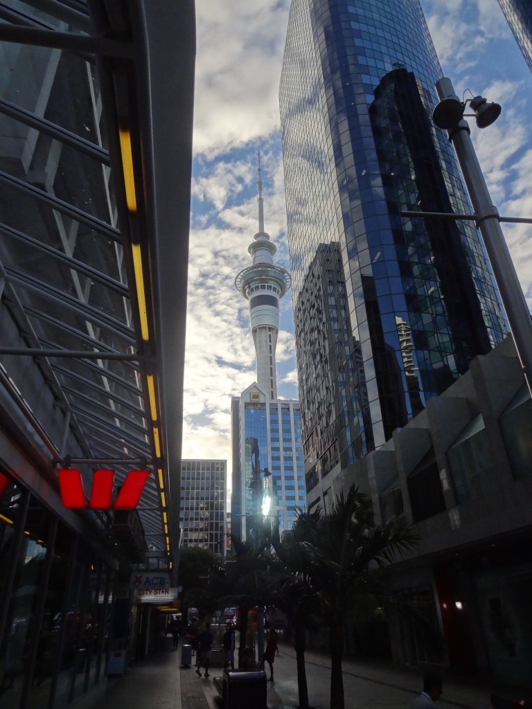
The iconic Sky Tower - folk visit Auckland just to throw themselves off this building
The iconic Sky Tower – folk visit Auckland just to throw themselves off this building

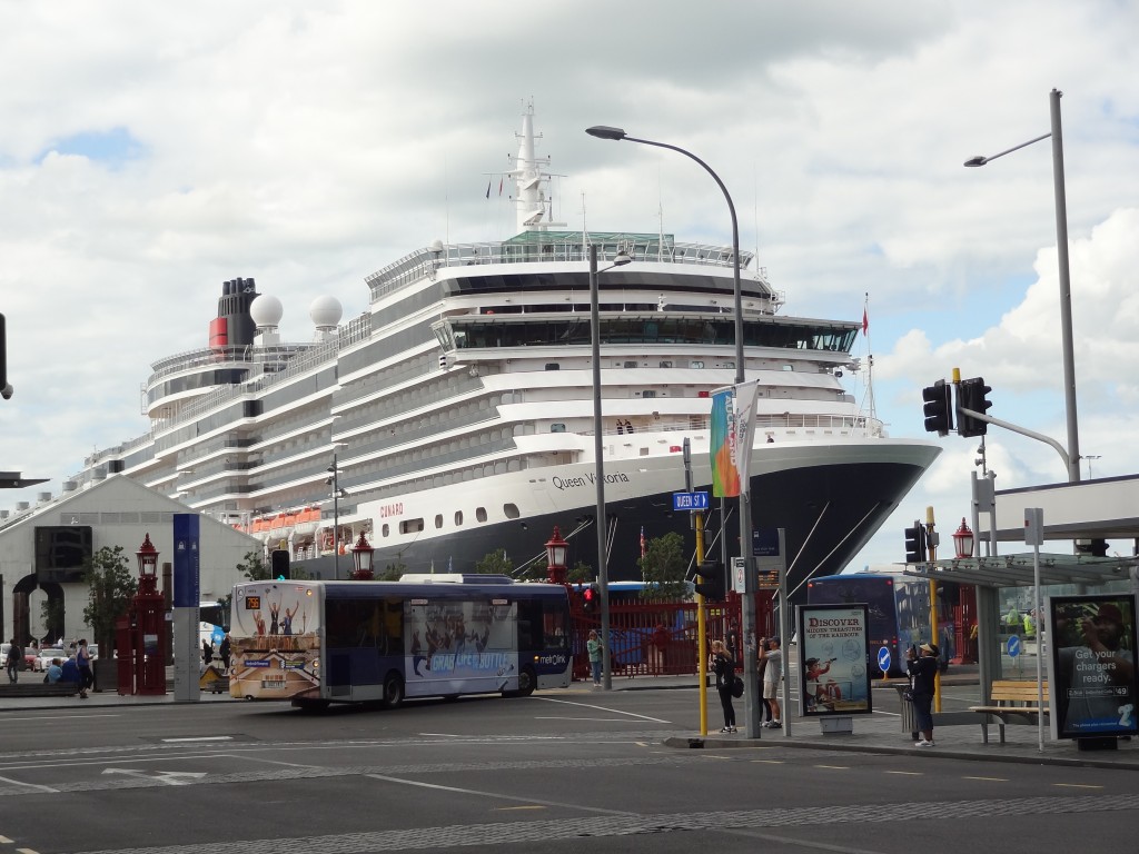
We caught the very efficient Airbus Express from Auckland airport to the city and checked in at the decidedly average but cheap and conveniently-located Great Western President Hotel on Victoria Street West. We had a few hours to spend wandering around the city and were rather impressed with the place. The cruise ship Queen Victoria was in town and walking downhill down the main shopping Street, Queen Street, we were a bit shocked to see this huge vessel seemingly parked up at the end of the street. This is the heart of the city and of the harbour area and the combination makes for a fantastic vibrant area which was of course extensively re-developed for the Americas Cup in the 1990s. The re-development became a legacy and the area is truly stunning. Restaurants, bars and shops overlook the waterfront which is busy with ferries and other watercraft constantly on the move. It all makes for a great city centre and a lovely place to be even if just sitting and watching the world go by.

Blimey - there's a cruise ship at the end of the street....!
Blimey – there’s a cruise ship at the end of the street…!

Although Auckland isn’t the capital city, it is New Zealand’s largest city with a population of around 1.2 million people out of a total population of 3.2 million on the North Island.

South Island, by the way, has a population of only 1 million and so NZ has a total population of 4.2 million with 25 per cent concentrated in the Auckland area.

It seemed like most of them were in the city this day but there was a friendly, laid back feeling to the place and at 5pm as in most cities, the bars were already full with office workers enjoying an after work beer. We came across the very excellent Corner Bar, part of Debretts Hotel on the corner of Shotland and High Street which sells a variety of excellent draught and bottled craft beers and wines and parked ourselves up for a couple of hours enjoying the buzz. Eventually we dragged ourselves away and wandered off to find somewhere to eat and before too long we came by and agreed upon Elliott’s Stables fairly quickly.

Elliott’s Stables is an eatery in an old warehouse conversion in the heart of the CBD, on Elliott Street funnily enough. The place describes itself as an epicurean village and is essentially an upmarket food hall with a dozen or so restaurants plying their trade in a single large room. The restaurants, include Spanish, Japanese, Indian, Mexican and Spanish and all looked pretty good. In the end we enjoyed a Cajun meal before retiring to our hotel a block or two away.

The following morning, Friday 20th March, we checked out of the President leaving our bags for collection later. We were to be picked up by our car hire firm late morning and had a couple of hours to kill which we did with an incredibly awful breakfast in a McDonald’s type of place on Queen Street followed by some more walking around making the most of the good weather by taking as many photographs as we could.

At the allotted hour our friendly Car Hire Executive collected us with bags at the President and drove us down to the Apex Car Rentals depot on Beach Road. We quickly had the paperwork done, bill paid and we were off – this time with a blue Ford Focus of some vintage and slightly battered.

Our first destination on North Island was to be Paihia in the Bay of Islands, around 230 KM and three hours drive in the far north of the Island. The drive was straightforward although the initial KMs were along multi-lane motorways the likes of which we hadn’t seen before in New Zealand. There was a lot of traffic as this was Friday afternoon with weekenders heading north up the coast for a long weekend. We soon came to a point where I wasn’t convinced we were heading in the right direction but happily Ann kept her cool as I dodged from lane to lane in the heavy traffic getting hot and bothered not helped much by the fact that our vintage jalopy seemed to constantly want to veer off to the left of its own accord. Thankfully it soon became clear we were on the right road and as we got further and further north the traffic pressure reduced and I became less and less stressed.

Eventually we arrived at Paihia around 4pm and soon found our accommodation, Paihia Club.

Paihia

2015-03-25 10.43.52

Paihia is the main tourist town in the Bay of Islands, a remarkably beautiful area in the far north. It’s a popular though small seaside resort with a resident population of less than 2,000 although of course that increases considerably with holiday makers. The town is close to a number of historic settlements notably Waitangi and Russell.

We were staying in a timeshare accommodation, Club Paihia, a small resort surrounded by native bush and perched on a hill overlooking but only a few hundred yards from the centre of town. It was a great location and we had a lovely unit very nicely and comprehensively kitted out, with our only gripe being an almost total lack of Wifi! Wifi is provided free of charge but only for a very very limited number of hours and available only in the club house when the club house is open. In this day and age its unforgivable that any type of accommodation provides such poor internet access. It’s fair to say that our digs thus far throughout New Zealand have been very acceptable but Wifi provision and signal strength has often been a real issue for us. This wasn’t going to improve quickly as our travels continued.

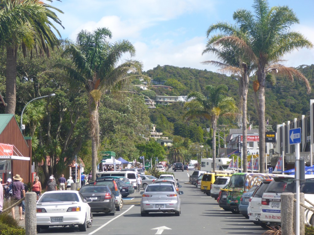
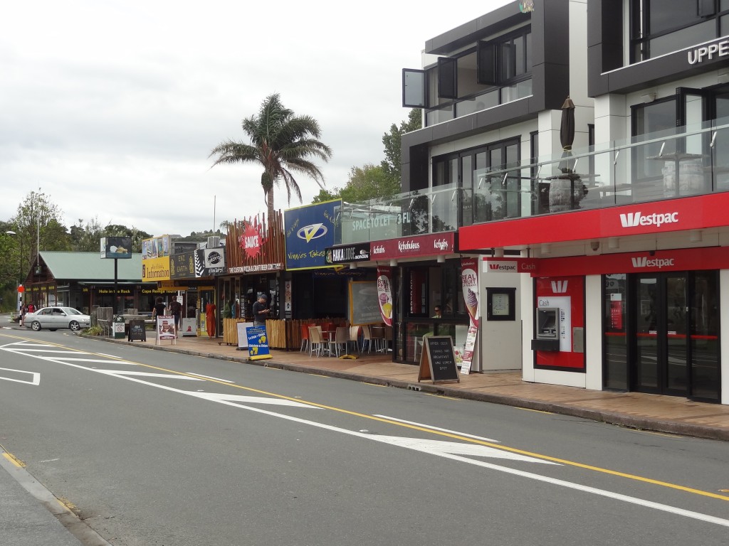
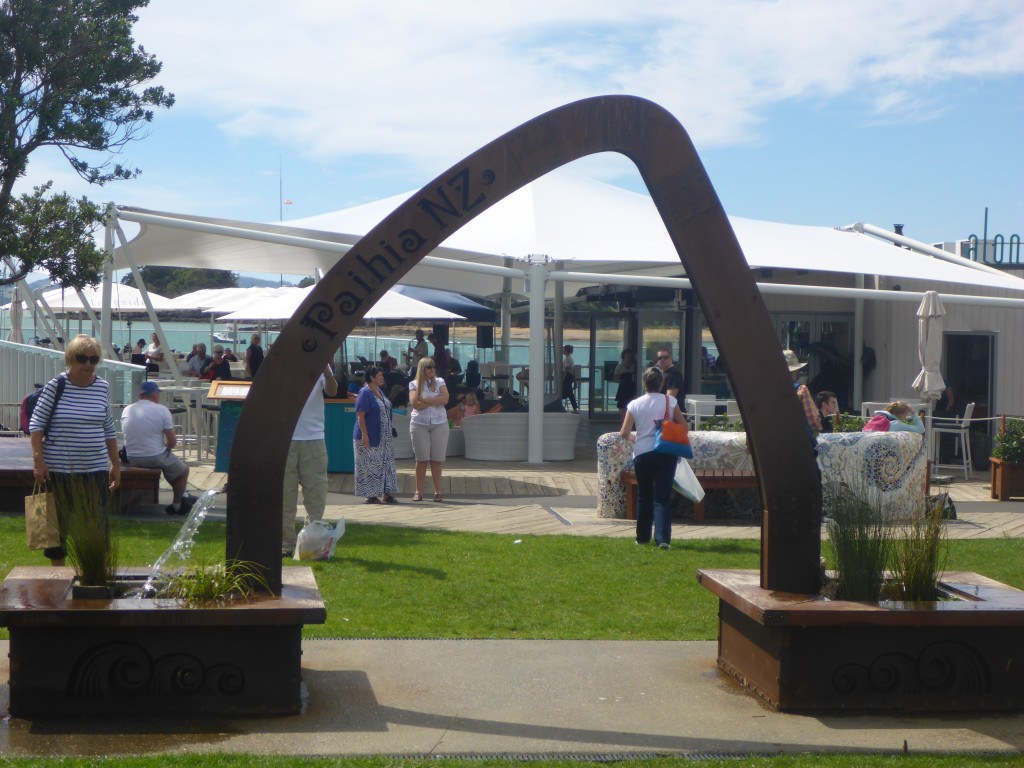
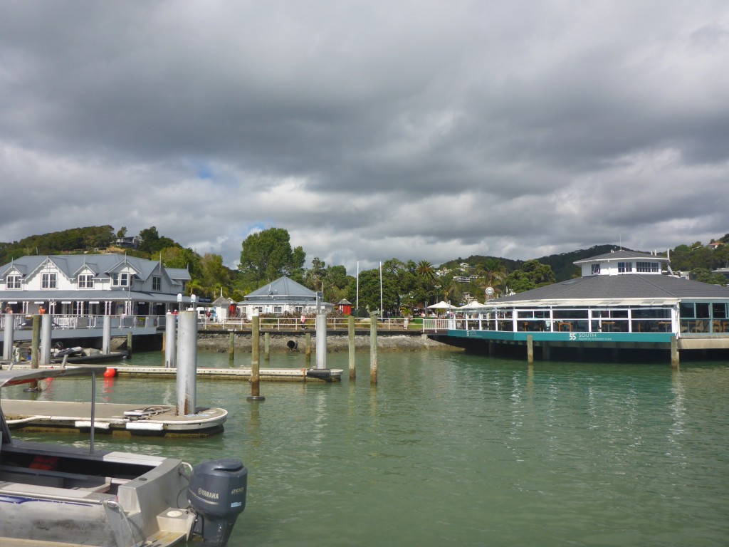
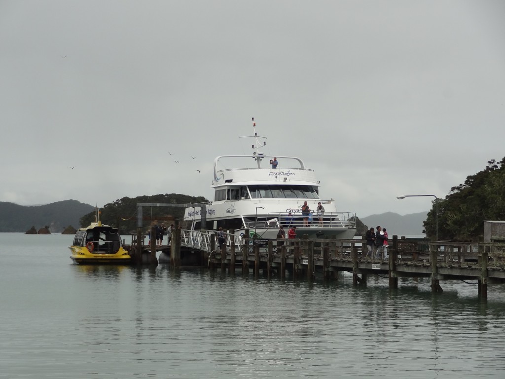
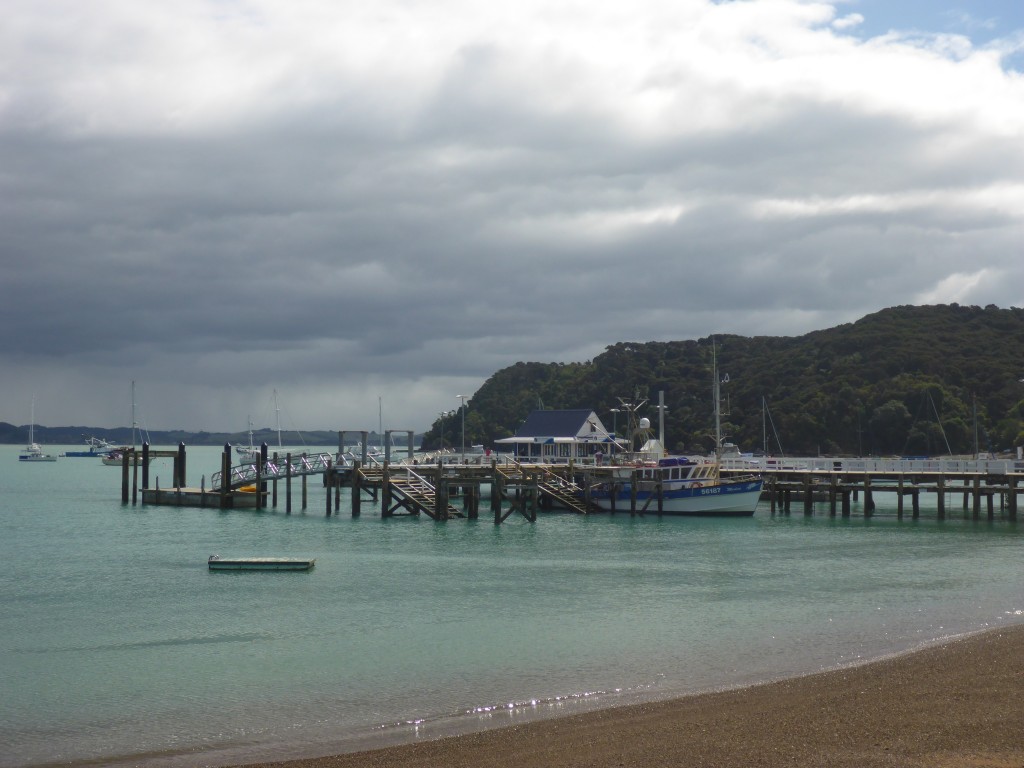
Paihia town itself is a very pleasant place with plenty of bars and restaurants, some very nice independent shops and a couple of small supermarkets. The waterfront is lined with eateries with a small pier like construction carrying a couple of nice bars and restaurants and a boat jetty itself lined with a take-away or two and an outfit selling tours and ferry tickets. Within a few yards, Fullers Tours have a large booking office for cruise tours and in addition there’s is a helicopter pad with an operator selling scenic flights.There are nice beaches either side of the pier/jetty area with opportunities for decent walks in either direction away from town.

Some Paihia street scenes:

2015-03-22 13.52.47

2015-03-26 14.45.48

2015-03-22 13.49.52

2015-03-22 10.33.29

Our week at Paihia was mixed in terms of the weather with a few sunny days, some cloudy ones and some rain at times. Nevertheless we managed to do some walking and were stuck in the apartment only for a couple of half days.

Highlights of this week were a day cruise around the bay, visits to Russell and Waitingi and a day on the ocean fishing for snapper.

Sea fishing from a boat isn’t my favourite fishing and already I had resisted Ann’s urgings to go for it. On this occasion, since I’d not been able to get much other fishing done, Ann convinced me I should give it a go whilst she spent the afternoon at the hairdressers!

On my fishing day, a rainy morning cleared as I walked down to the jetty and I went out with half a dozen other Guys and had a thoroughly pleasant day extracting plate-sized red snapper from the sea, sufficient for us all to go home with more than enough fillets for a meal. Mine was cooked up into a generous two course meal by the King Way Chinese restaurant and very nice it was too!

The Hole in the Rock Cruise

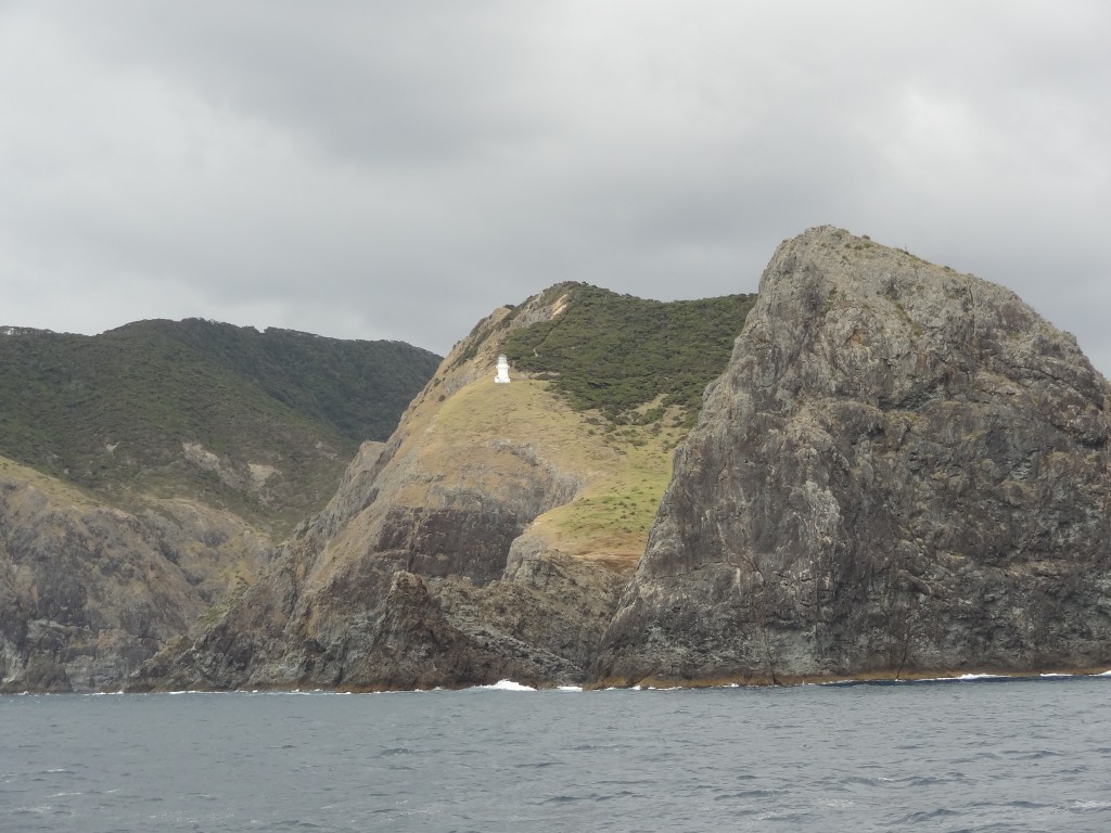
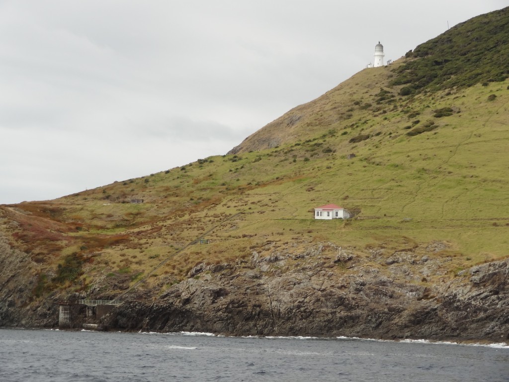
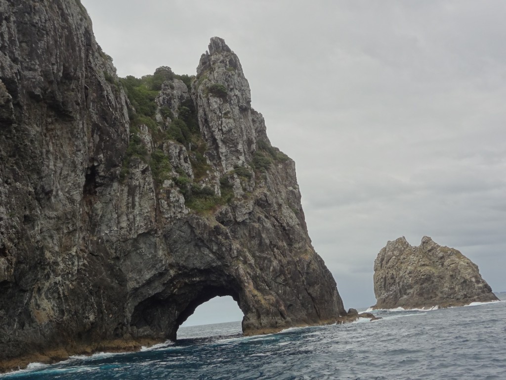
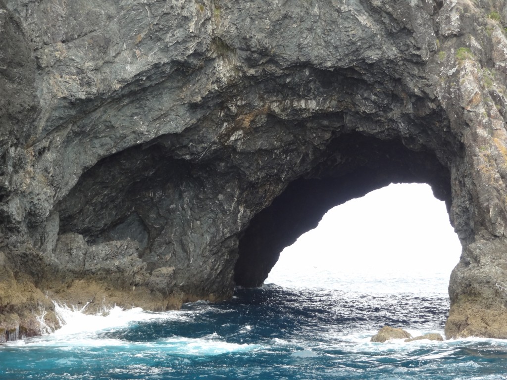
The “Hole in the Rock” is sometimes known as Piercy Island. It was named by Captain Cook in honour of one of the Lords of the Admiralty at the time.

The island’s Maori name is Motu Kokako and it is of great cultural significance to the Maori Ngāpuhi iwi (tribe) as it was said to be the first landing place of one of the ocean going canoes, Tūnui-a-rangi, which brought the original Polynesians in the 14th century. The hole has been created by erosion by the sea over centuries and numerous boat trips tour the bay and if conditions are favourable, will sail through the hole. Needless to say conditions were not favourable for our visit.

It is probably the most important island in the Bay of Islands in conservation terms, being in near pristine condition, with no evidence of introduced animals. A 1987 survey of the island found 99 different types of flora, and noted the presence of two types of petrels and lizards.

Our day cruise around the Bay of Islands with Fullers Tours didn’t start off too well. It had poured with rain throughout the night before our trip and this was a wet and miserable morning and we wondered whether or not we should go. But we had already paid and didn’t fancy our chances of getting our money back were we to cancel and so we donned our waterproof jackets and wandered down to the jetty. It was raining when we we arrived and still raining as we boarded. The Captain announced that the trip would go ahead. He did expect the rain to clear but couldn’t guarantee it and offered to refund any monies if passengers wished to cancel. A few took up the offer but we didn’t as we weren’t sure we would get another opportunity to make the trip before we moved on.

The murky conditions persisted for most of the morning which was a shame (this wasn’t a cheap tour!) but we managed to get a few reasonable photographs as below.

2015-03-23 10.52.46

2015-03-23 10.04.39

2015-03-23 10.15.50

2015-03-23 10.02.46

2015-03-23 10.09.47

Around lunchtime, the boat called at Russell, a town across the bay from Paihia, to drop off passengers who had been picked up there earlier. We were given the opportunity to get off the boat to spend some time at Russell and were given a “free” ferry ticket to return back to Paihia later in the afternoon.

Russell

Our decision to get off the boat here was a good one. The weather had dried up and although still cloudy, it was warm and dry and eventually the sun broke through. We enjoyed a seafood lunch outside at a waterfront restaurant with a table only a few metres from the sea.

Russell is a small town (population less than 1,000) but with a big history. It was the first permanent settlement for Europeans in the 1800’s and became the main supply centre for whaling and sealing. The indigenous Maoris, hungry for guns and alcohol, traded timber and other produce with the Europeans and the town grew significantly to became known as the Hell Hole of the Pacific, rife with prostitution and lawlessness. In January 1840 the Colony of New Zealand was founded and Russell was to become the capital but the Governor Lord Hobson decided thats its reputation was such that this was inappropriate and Auckland was chosen instead.

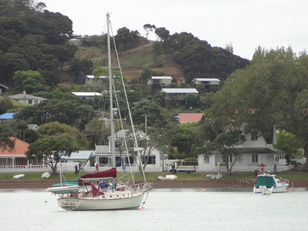
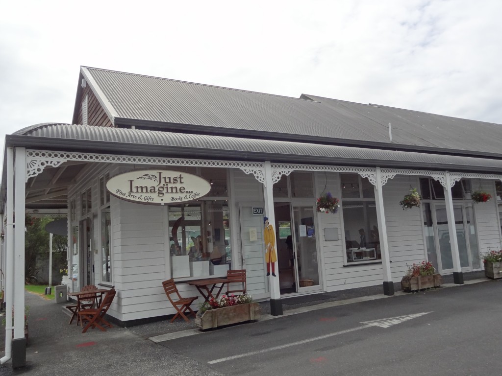
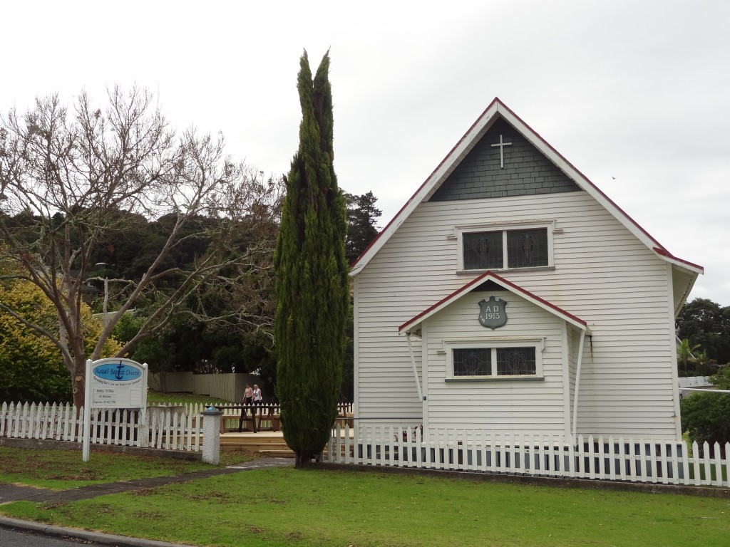
Today Russell is a pretty village comprising a few streets of timber cottages with attractive restaurants and shops mostly lining the sea front.

2015-03-23 13.37.39

2015-03-23 12.22.09

2015-03-23 11.48.33

2015-03-23 12.22.27

2015-03-23 12.16.24

2015-03-23 12.19.36

Waitangi Treaty Grounds

Waitangi is a settlement north of Paihia in the Bay of Islands. It was the scene of perhaps the most significant event in the modern history of New Zealand and the indigenous Maori, the signing of the Treaty of Waitingi in 1840.

As the presence of British citizens in New Zealand grew so did the trading relationship with Maori as more and more land transactions took place. This and the growing lawlessness of the place and an apparent interest by France, prompted the British Government to propose a treaty to the Maori whereby they would come under Crown sovereignty and thus enjoy its protection. There were around 540 Maori tribes in New Zealand at the time and around 500 of their Chiefs attended a gathering at Waitangi on 6th February 1840 and signed the treaty. The other Chiefs signed later.

The Treaty Grounds contain the Treaty House which was the residence of the Governor of the time, a carved Meeting Room and a ceremonial war canoe (waka) which is 35 metres long, weighs 6 tonnes and requires over 70 paddlers.

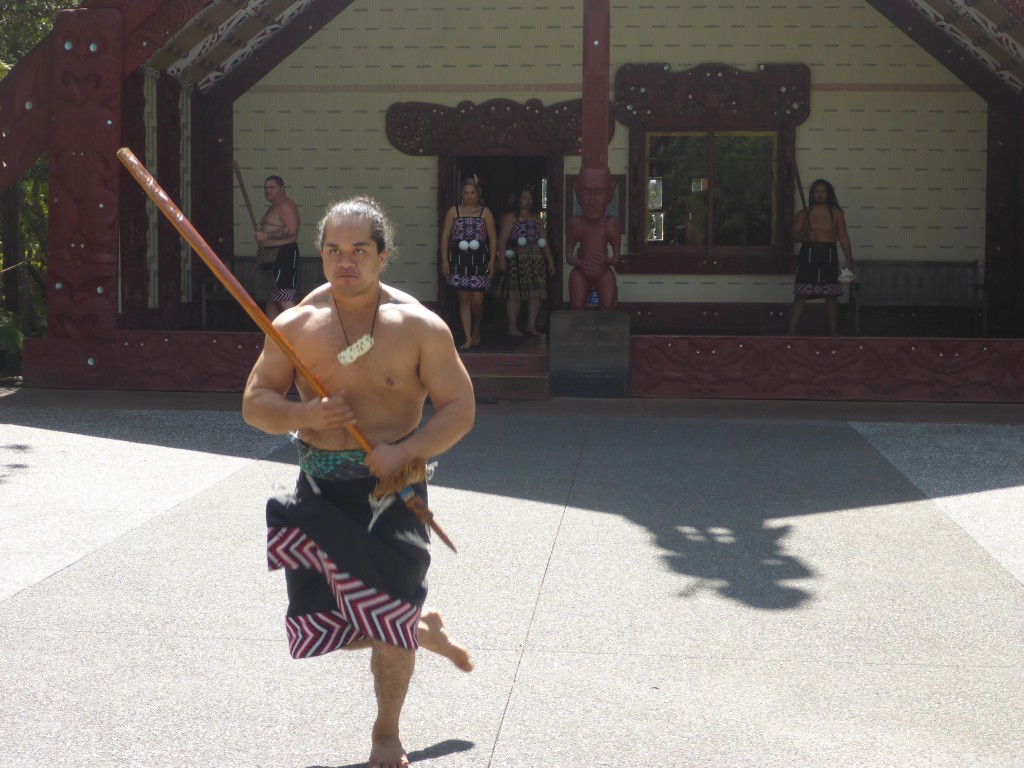
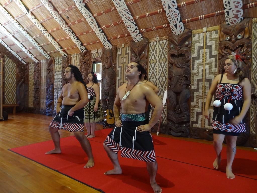
There is an excellent museum and some beautiful grounds to tour with a foreshore facing Russell across the Bay. We chose to buy a ticket which includes a performance by a resident group of Maori song and dance which includes the famous haka – it’s an interactive performance with some audience participation and great fun.

A reception from the Chief before we entered the Meeting Hall at Waitingi

2015-03-26 13.30.39

We got top marks for our wake attempt.....
We got top marks for our waka attempt…
Waitingi was one of the real highlights of our trip to New Zealand. The history is fascinating and without exception the Maori we met here as everywhere else were warm and friendly with a great sense of humour.

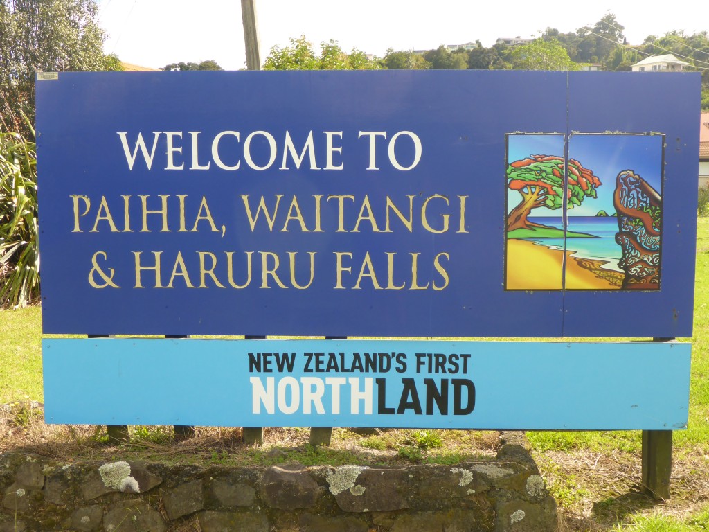
P.S. For those observant ones amongst the readership, although the welcome sign to the Bay of Islands area shown above mentions Haruru Falls, at the time of our visit we were told that the waterfall was a shadow of its normal self due to the drought conditions prevailing in the recent months and so we didn’t bother to visit.