Coromandel Peninsula

Following our trip North to Bay of Islands we were to travel around North Island in a clockwise direction first of all re-tracing our journey back down the  Pacific Coast Highway to and through the outskirts of Auckland and then East to the Coromandel Peninsula, a very popular area for Kiwi family holidays. We would then travel the coast along the Bay of Plenty, then the East Cape drive around to Gisborne and then Napier to Wellington in the south  before wending our way back to Auckland.

En route to the South we stopped by an electrical superstores where we had ordered a Garmin sat nav device over the phone the day before. It proved to be money well spent and especially so in Australia.

The next couple of weeks would be very much a beach holiday hopefully doing not a lot  other than a bit of sight seeing and walking.

We had booked  an apartment for a week in Whittianga, a small town around midway up the east  coast  of the Coromandel  which would be a good base to get around.

The apartment at Marine Park Apartments was close to the Marina and turned out to be perfect for our needs, spacious with a full kitchen so that we could self cater properly when we wanted to and with a balcony providing some outside space. There was also an outdoor swimming pool which we did make use of one afternoon.


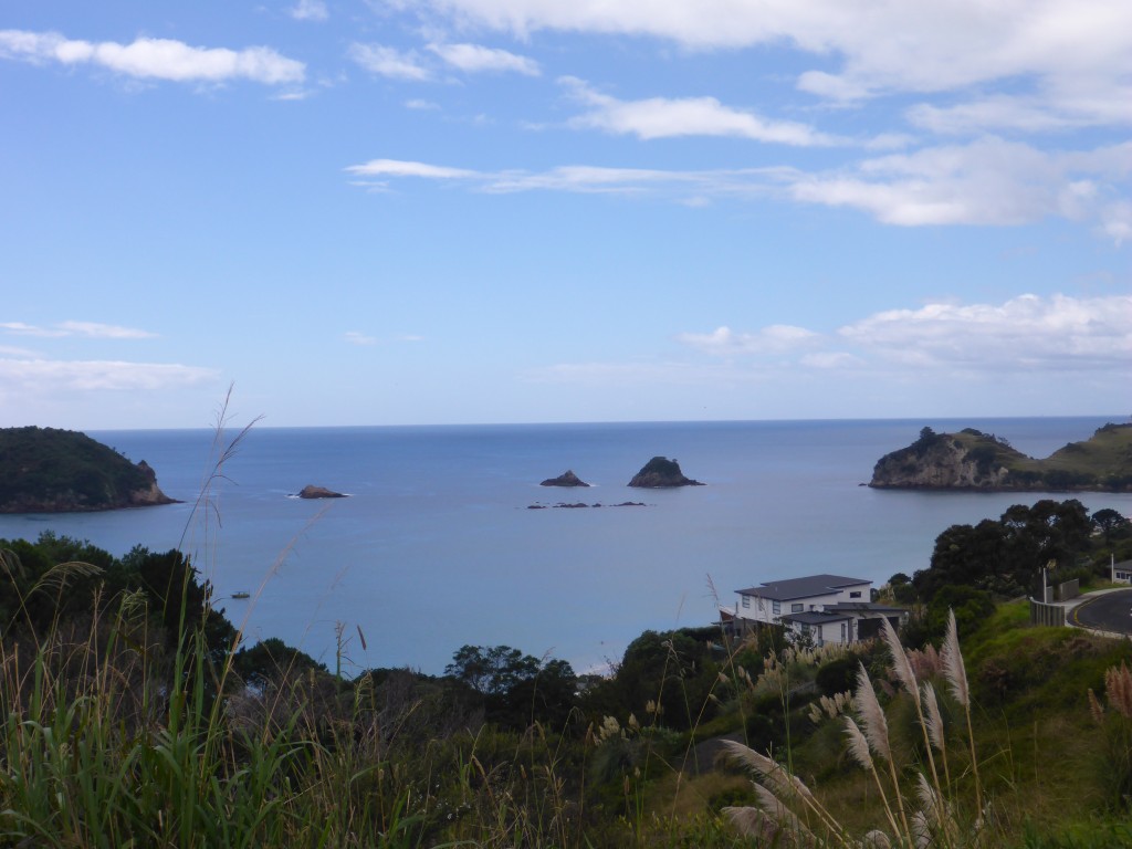
Here are a few photos of Whitianga
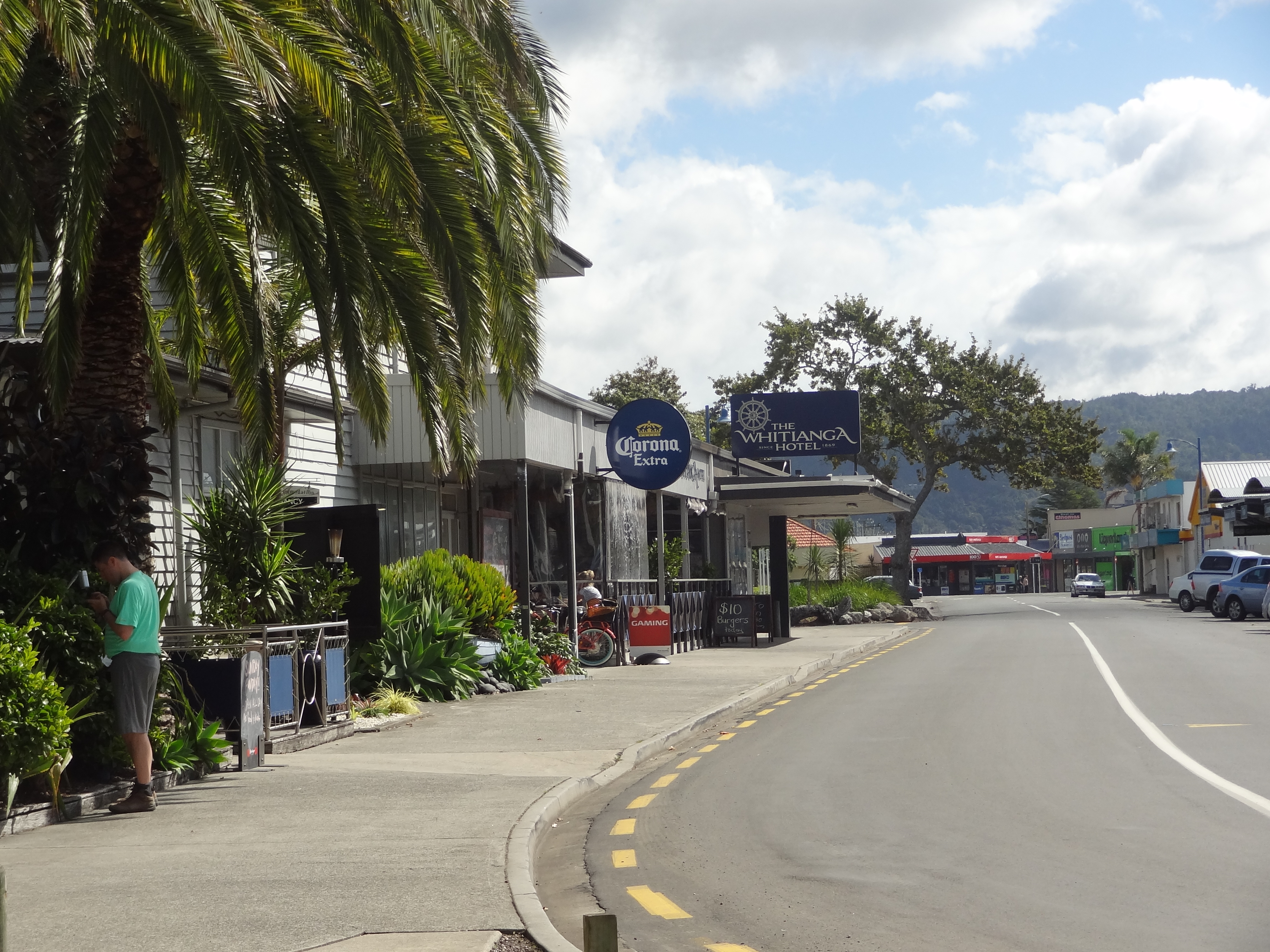
Whiting side street leading down to the Marina
Whitinga side street leading down to the Marina

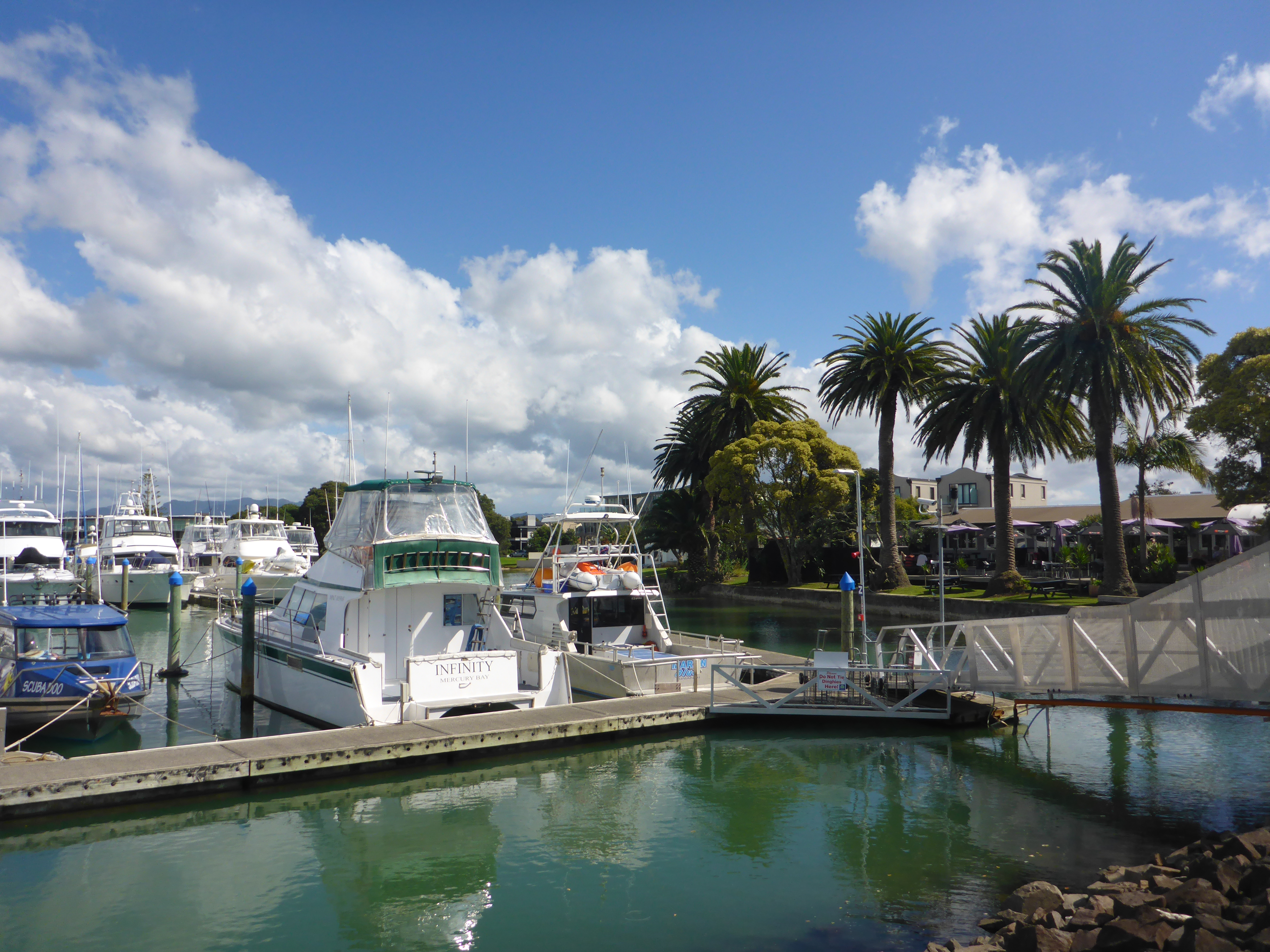
Whitianga Marina


The weather was rainy as we arrived but cleared up and was kind for most of the week although we did have a couple  days of rain which are actually quite handy on occasions as it forces us to get on with some planning or do a  budget review and chores which otherwise get put off.

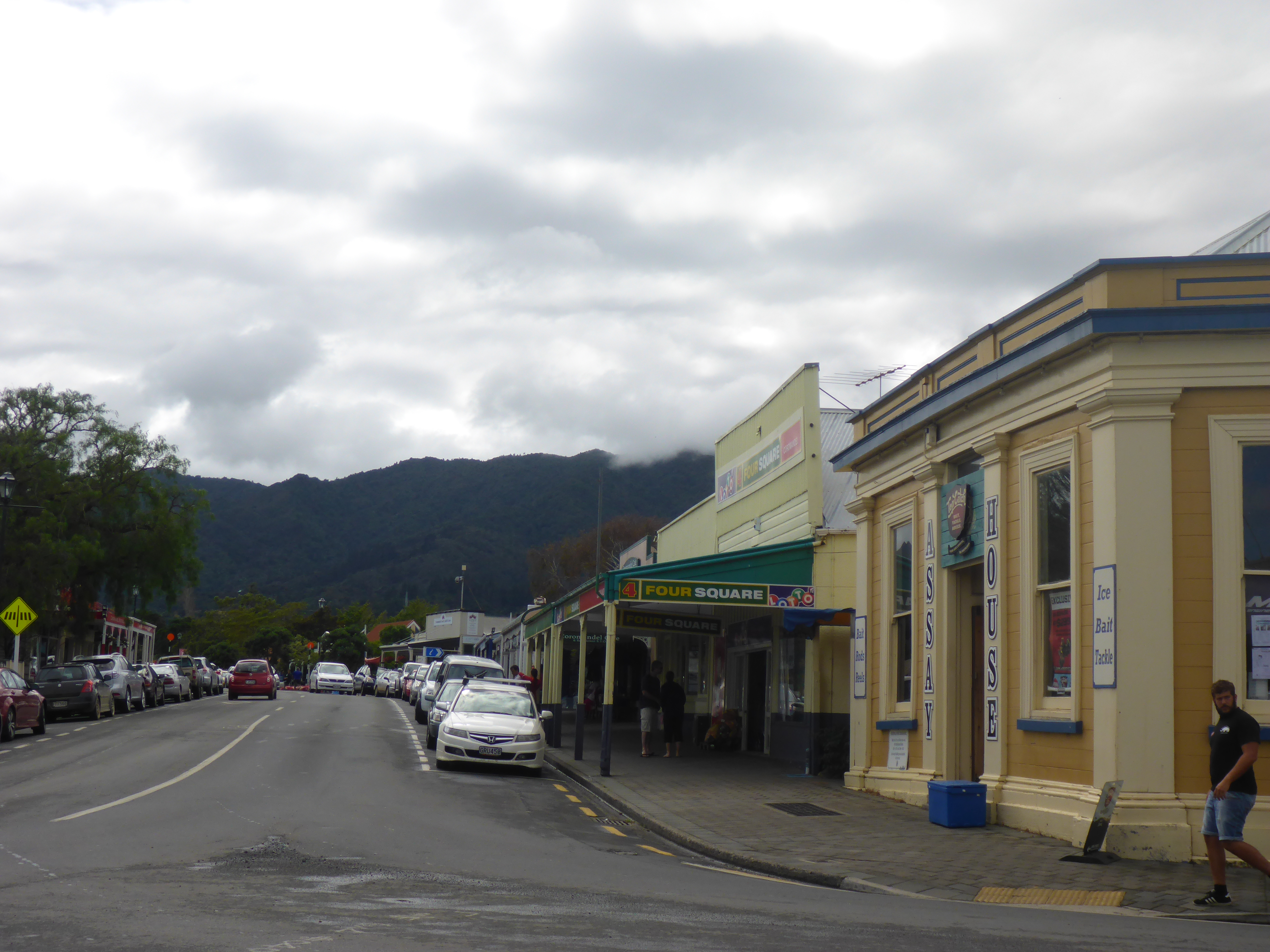
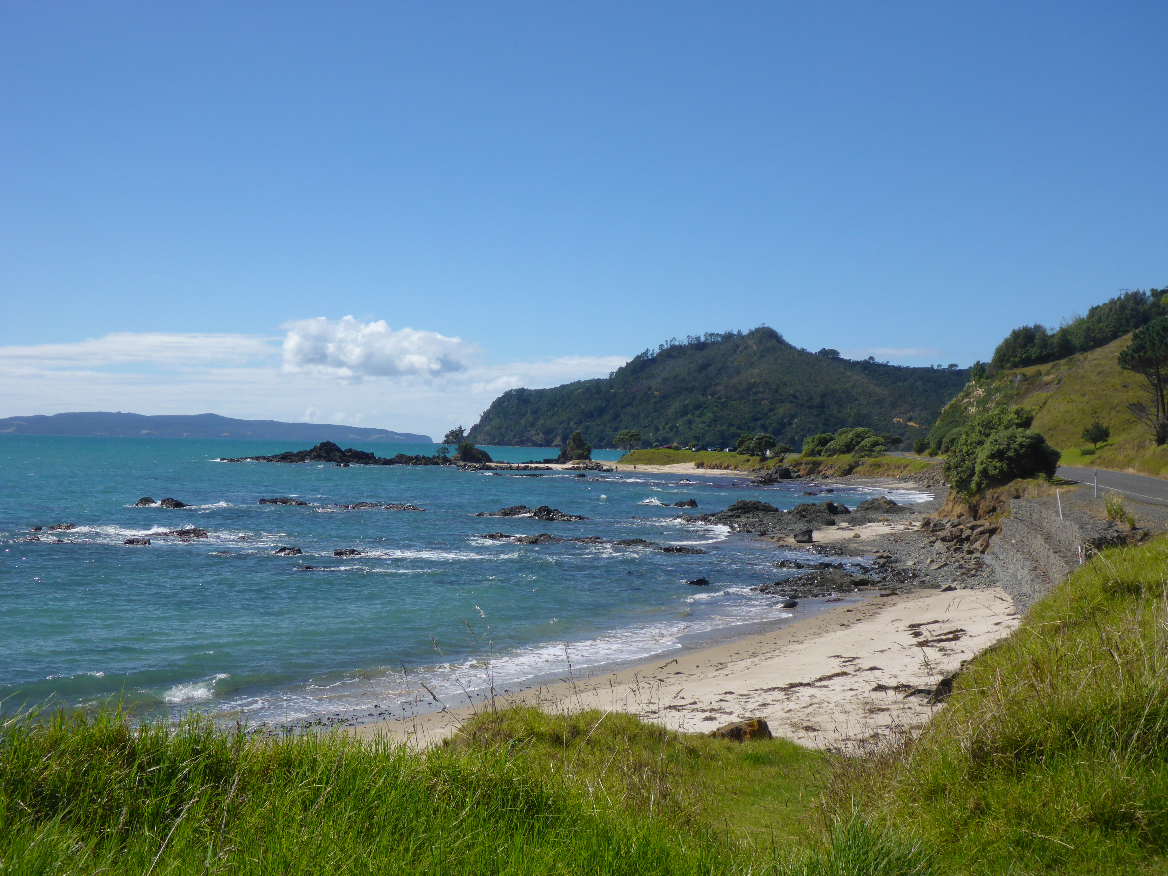
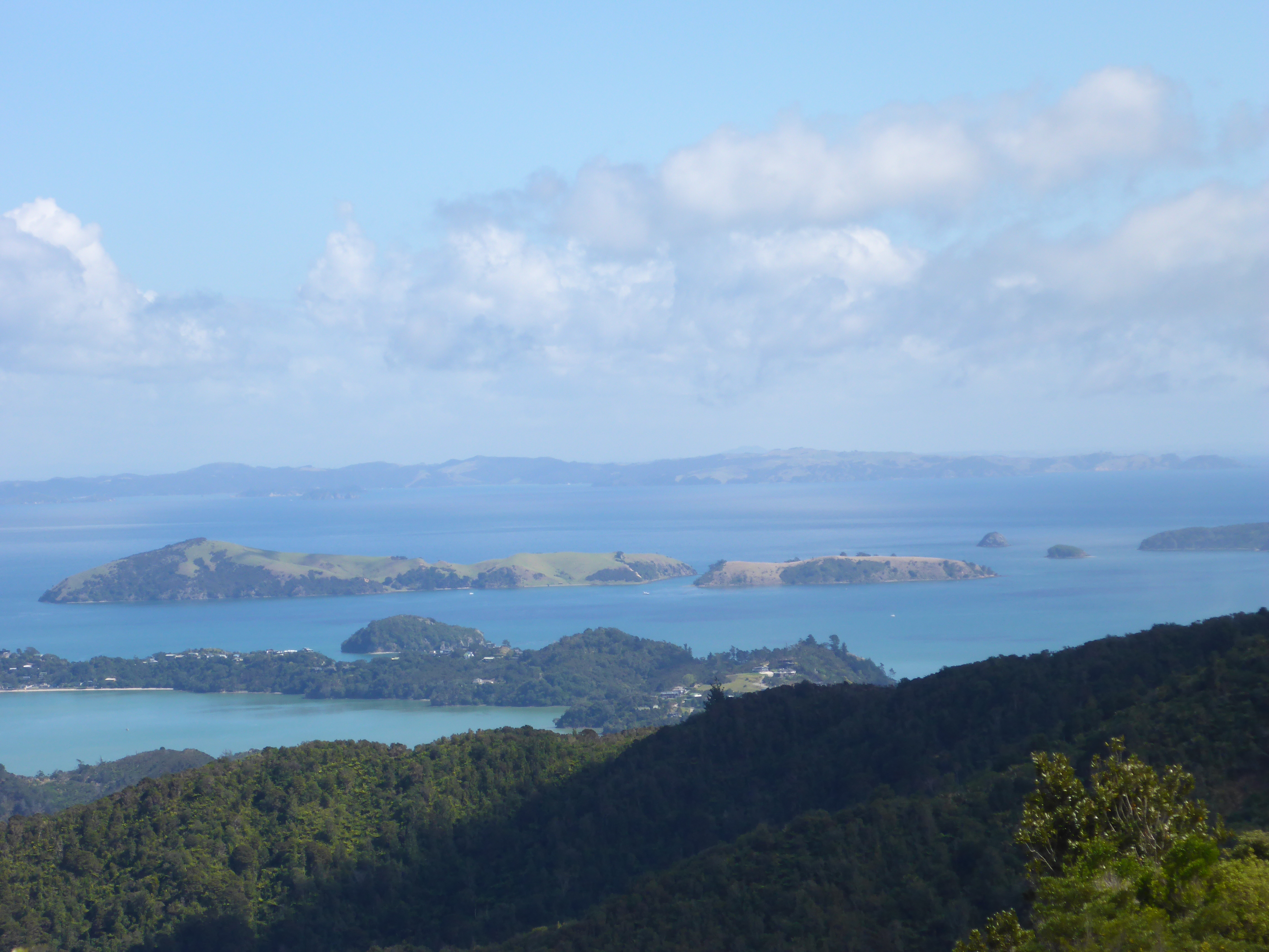
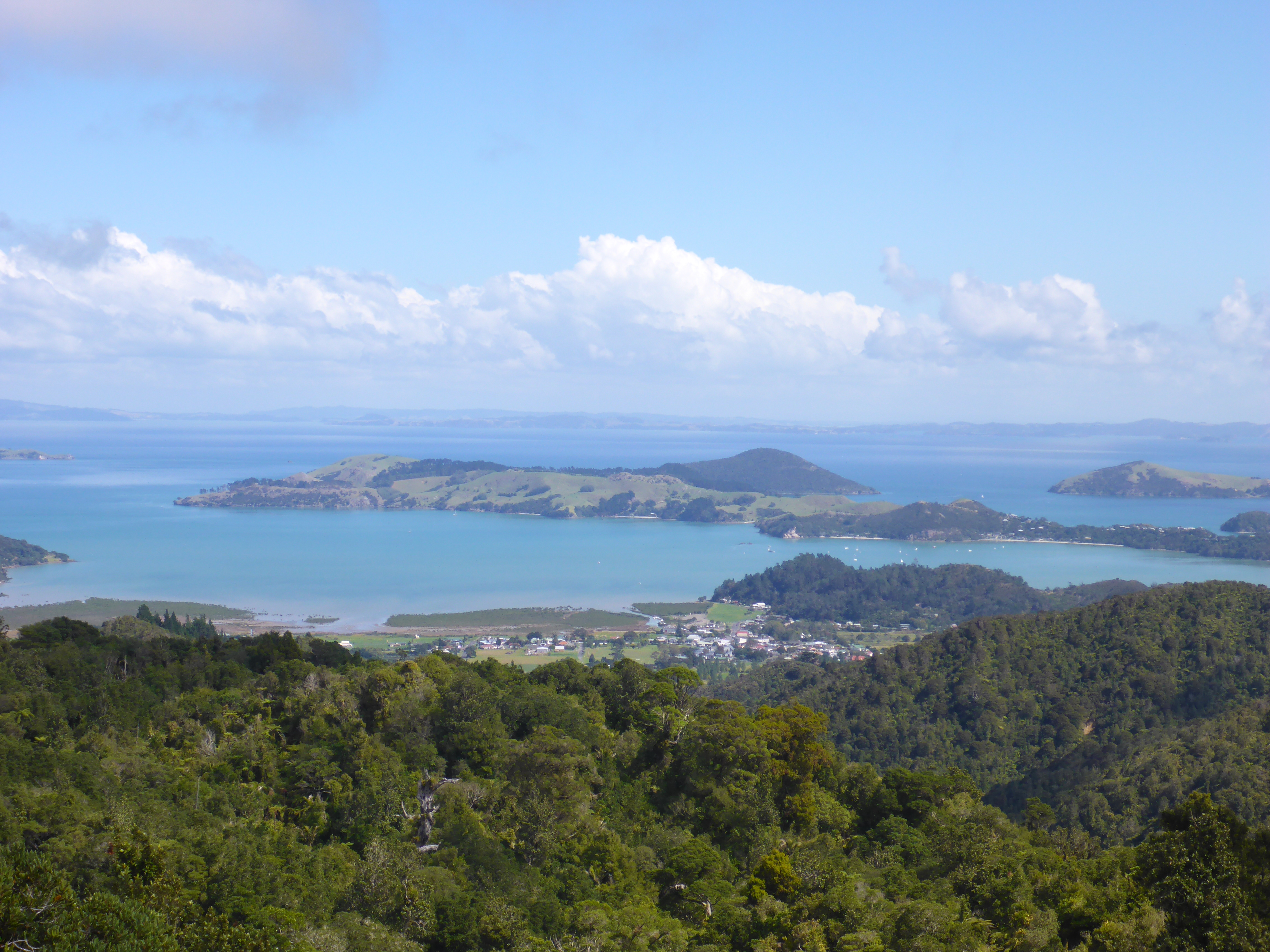
The Coromandel has some truly spectacular scenery with the usual often narrow roads winding through thick forest and then along rocky coastline with many a dog leg and horseshoe bend to keep the mind focussed on the road. Unfortunately however, the weather turned greyer and greyer as we drove East and we drove much of the road north to Whitianga in a thick mist and it was damp and miserable when we got there. Indeed our first impressions of the town in this weather were not good as we felt the  main street has a kind of  dowdy look but our impressions improved as the weather got better and indeed once off the main drag, there are some nice streets with good shops, bars and restaurants leading down to the waterfront. We came to like the place.

Whitianga is a small town sitting on the 5km long Buffalo Beach  in Mercury Bay, so named by Captain James Cook who visited in 1769  during his expeditions to observe the transit of Mercury. Buffalo Beach itself  was named after the ship HMS Buffalo which loaded with timber was wrecked in a storm whilst at anchor in the bay in 1840. The ship had a varied history being used at  times to carry timber, as a convict ship carrying convicts  to Australia and transporting emigrants  to Australia, New Zealand and elsewhere. It was also a quarantine ship. The wreck, or at least some of her timbers, remain in the bay and her anchor stands as a memorial on the beach front.
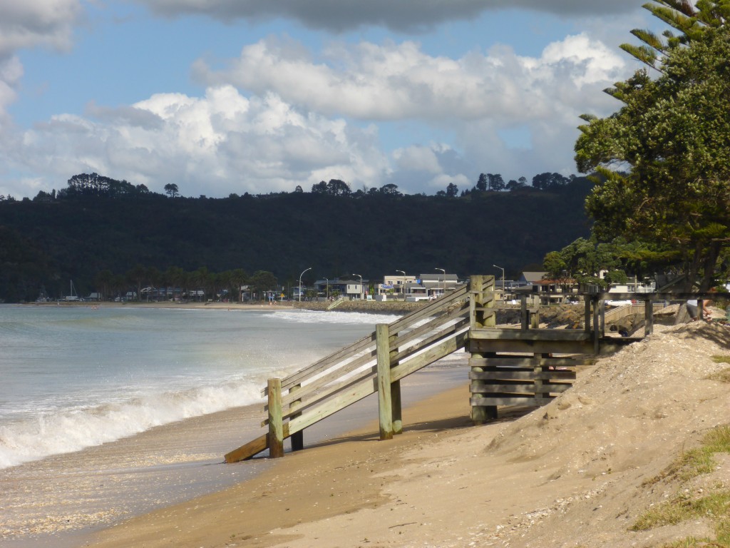
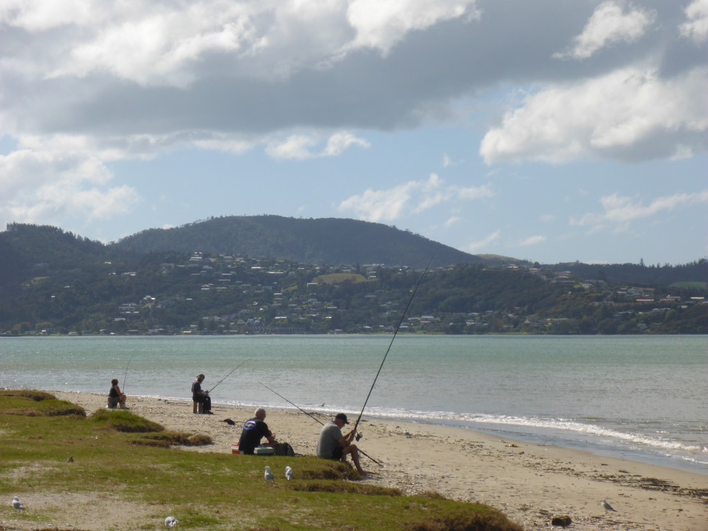
Whiting Beach
Whitingga Beach
Fishing on the beach near town

The area has a long Maori history and European settlers arrived in the 1700’s. The town was originally founded on timber,  boat building and with the gold rush of the 1860’s, gold mining.

Now the economy is  based on agriculture and tourism. Our time here, when not rained in, was spent walking or on day trips up and down the coast.

One of our trips from here  was to Coromandel Town in the North West of the peninsula, a 45km drive from Whitianga. It’s a small town on an inlet forming a natural harbour and was named after HMS Coramandel which called at the port in the early 1800’s. The town was originally built on the timber industry with huge forests of kauri trees felled, milled and exported from here. The kauri forests  were decimated although some ancient trees remain in areas which were too difficult for the loggers  to reach in the olden says. The trees are now protected and as in many parts of the country there are large areas of regenerating forest  including some kauris. In the 1850’s gold was discovered here and began to be mined in the  1860’s and in it’s heyday the town had a population of over 12,000 but is now less than 2,000.

This town’s economy  is now based on tourism and mussel farming. It’s small and quaint with galleries and arty shops in some nice Victorian buildings, a small mining museum which was closed when we visited and some nice community gardens. In truth there isn’t a huge amount to see but on a nice day it’s well worth an afternoon just for the fantastic drive through  magnificent scenery with spectacular coastal views to be had from various points along the route. We had a perfect sunny day for our trip and lingered for lunch. We  couldn’t resist fish and chips from a proper fish and chip shop down by the harbour and Ann tried the muscle fritters which are popular here and elsewhere in New Zealand.

Here are a few pictures of Coromandel Town

2015-03-29 11.01.08

2015-03-29 11.02.33

2015-03-29 11.23.59


2015-03-29 11.13.38

2015-03-29 11.10.30

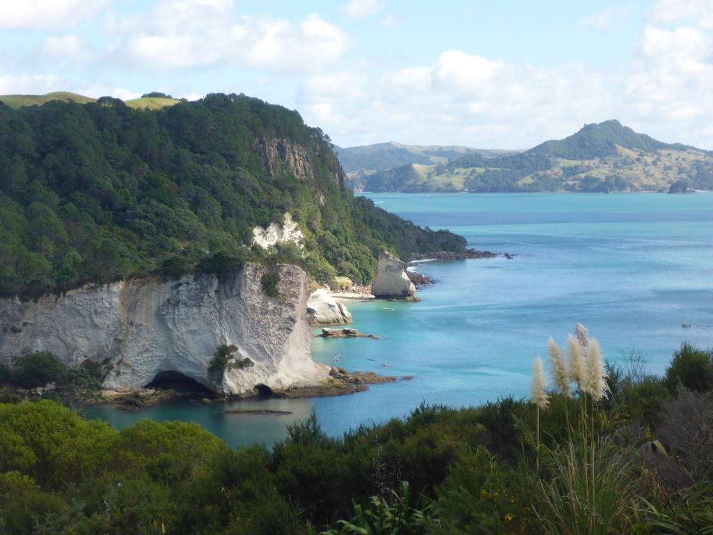
And here are a few pictures showing some of the views en route up the coast….

2015-03-29 12.42.47

2015-03-29 12.42.04

2015-03-29 12.16.20

2015-03-29 12.15.35

2015-03-29 12.44.42

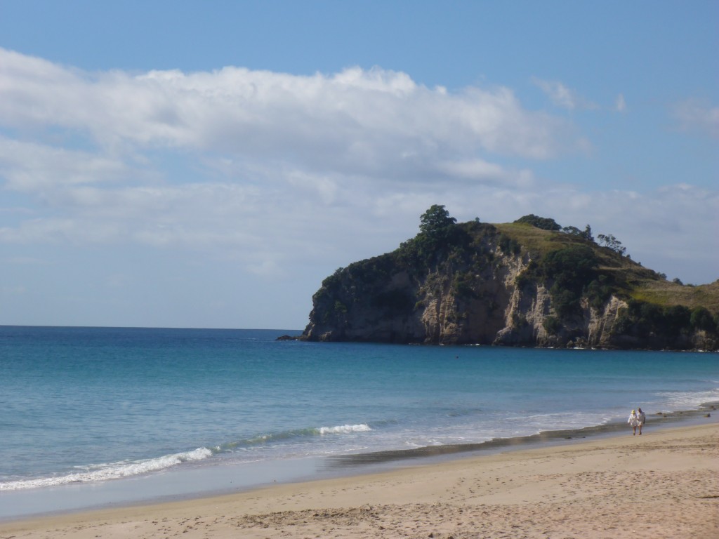
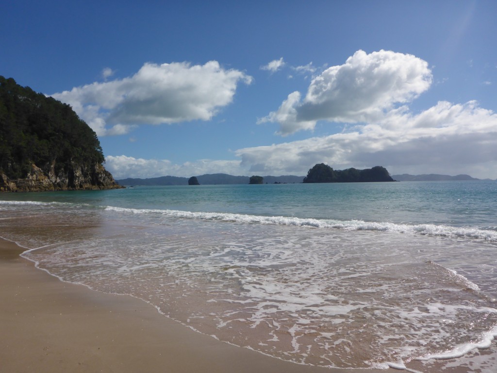
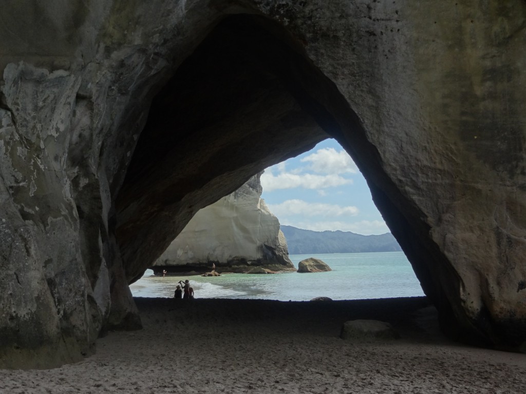
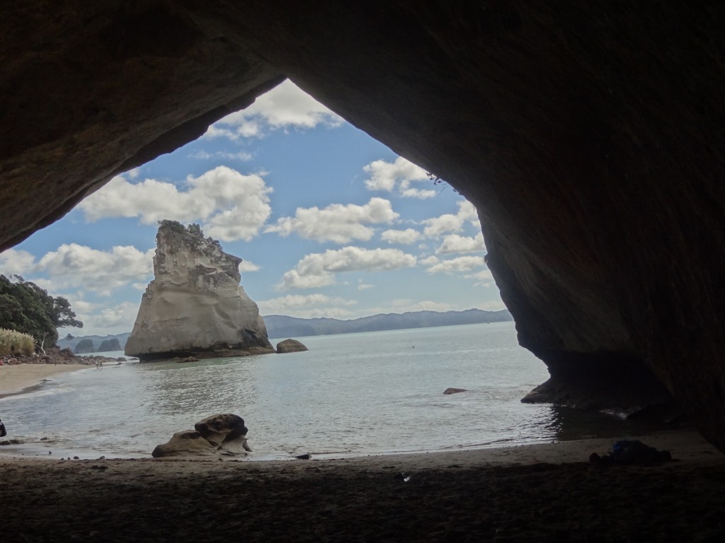
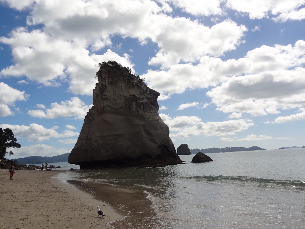
Another “must see” part of the Coromandel is the Hei/Cathedral Cove area south of Whitianga where there are lovely beaches which  in some cases , including Cathedral Cove itself, can only be reached on foot or by boat. Cathedral cove is so named after the cathedral like archway which divides the beach and there is some excellent walking here along tracks which take you to these and other beaches in the area. We did the walk over to Cathedral Beach and then back to Hei  where we had a swim on a lovely sunny afternoon. We also took the short drive to nearby Hot Water Beach which takes its name from the hot water springs which bubble up from the sand; locals and tourists turn up in droves with spades to dig holes in the sand to release the hot water to make hot water pools. Needless to say there is a thriving trade in spade hire here ! We passed by the opportunity on thiss occasion.

Heihi Beach
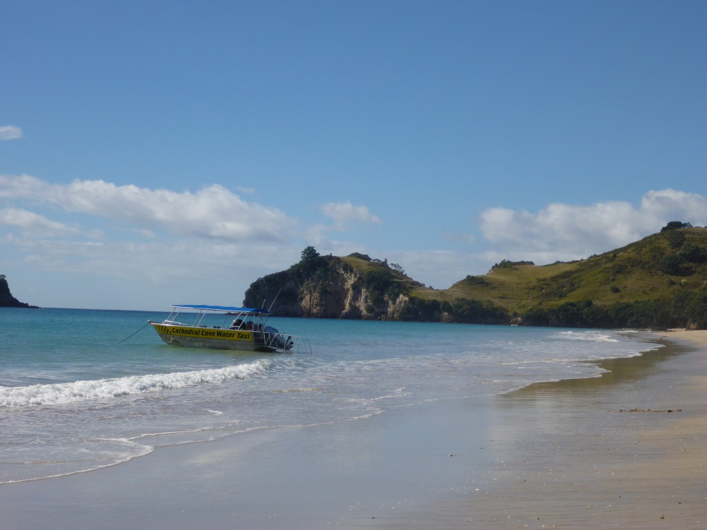
2015-03-30 10.36.41

Hehei Beach with the Cathedral Cove water taxi just leaving....
Hehei Beach with the Cathedral Cove water taxi just leaving….

2015-03-30 10.41.46

The walk to Cathedral Cove

Walking to Cathedral Cove


2015-03-30 10.59.21


2015-03-31 10.31.54


2015-03-31 10.32.32


2015-03-31 10.39.20


She insisted....
She insisted….

Cathedral Cove

2015-03-31 11.07.40

2015-03-31 11.10.18

2015-03-31 11.09.07

2015-03-31 11.13.00

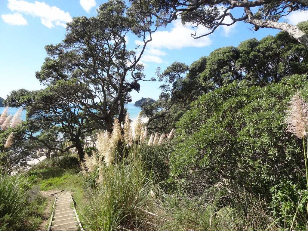
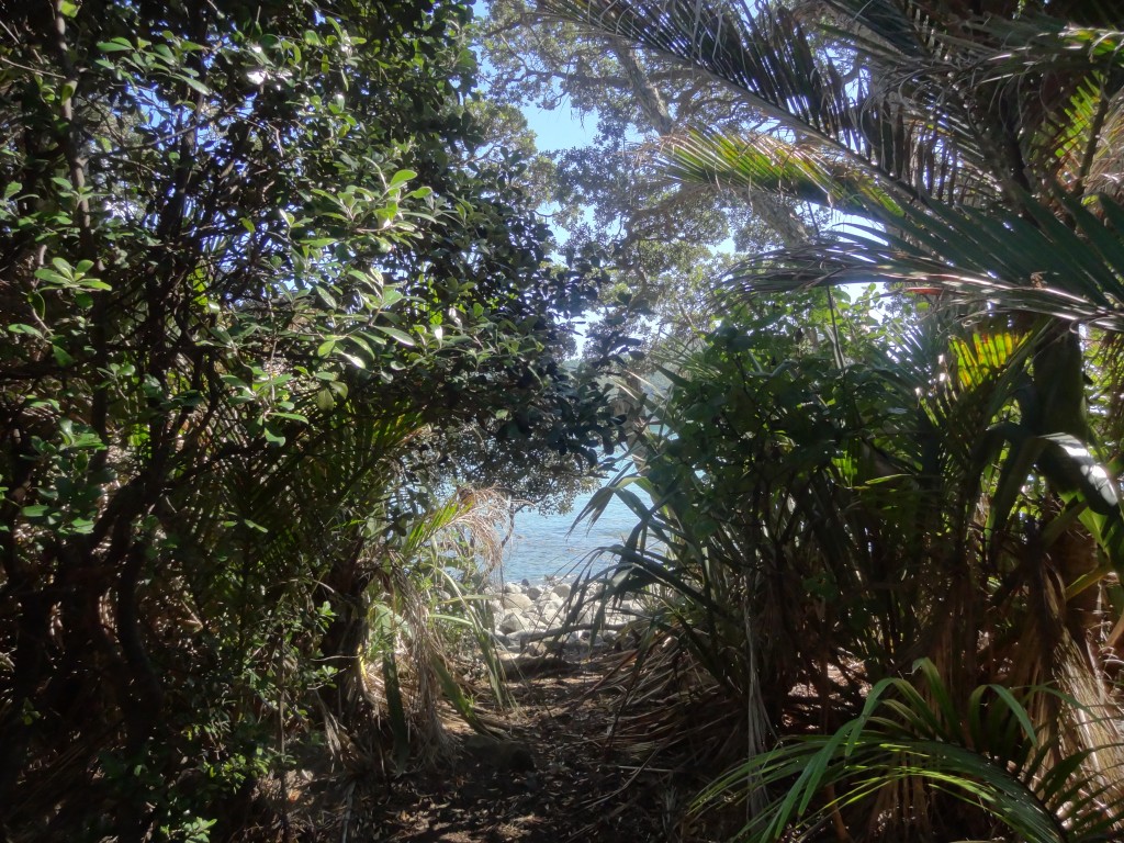
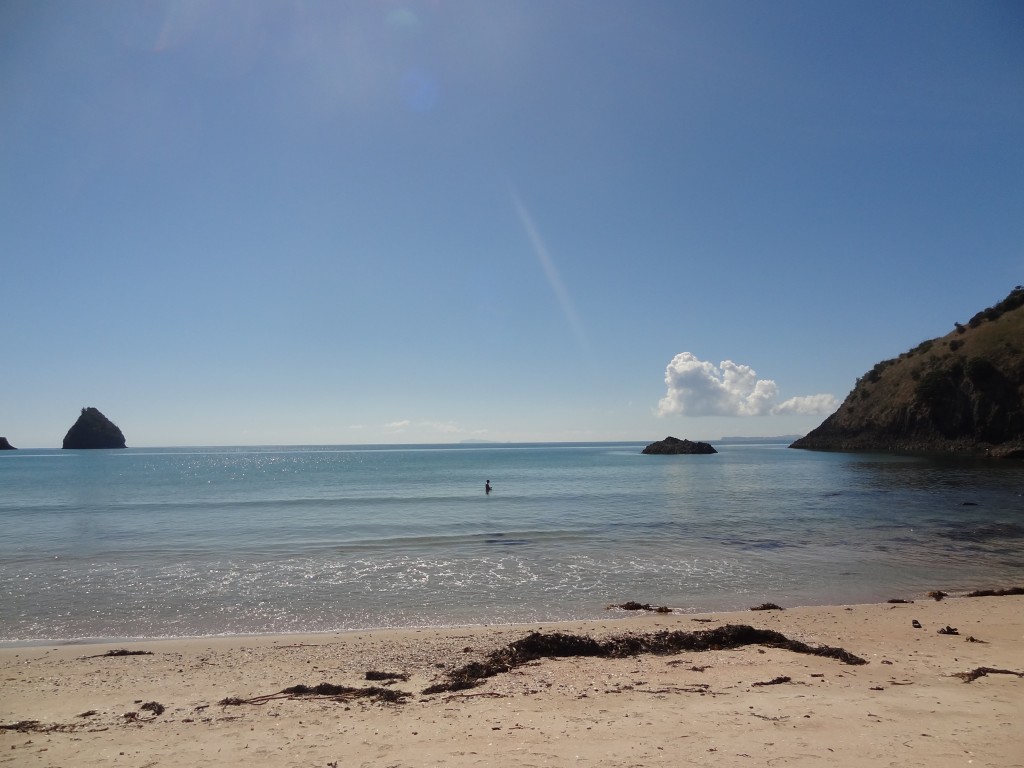
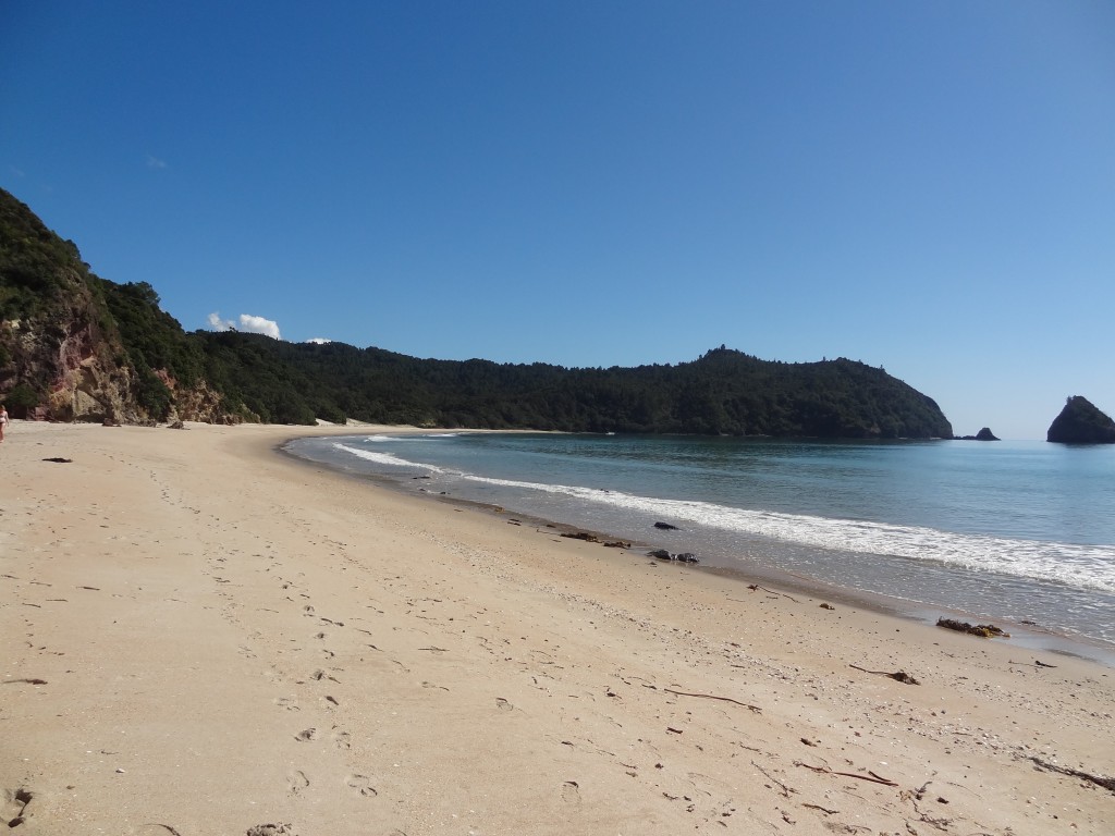
On another day we visited  New Chum Beach, a half  hour drive north of Whitianga. This beach has apparently been voted one of the world’s top 10 beaches .It’s a little bit more out of the way and is accessed from Whangapoua Beach in Wainuiototo Bay by crossing a creek at low tide then a  walk of half an hour or so across a beach which is covered in slippery black rocks and then along a track through the bush. As we intended to spend an hour or two on the beach I bought some bait and took a fishing rod along and managed to catch a couple of red snapper which I kissed and put back in the water.
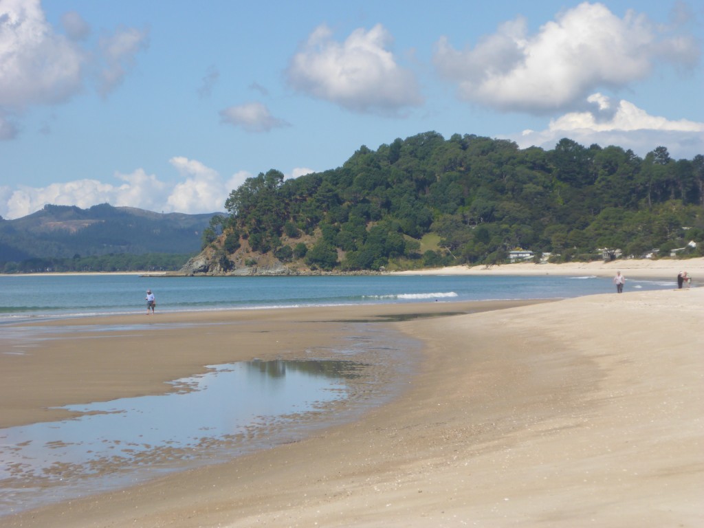
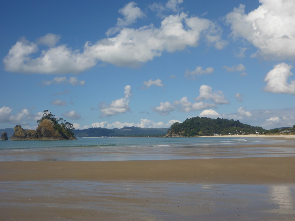
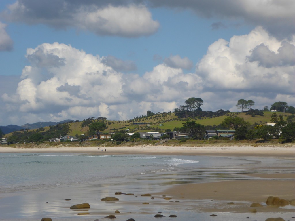
Whangapoua Beach is itself stunning
Whangapoua Beach
Whangapoua Beach
Whangapoua seen from the northern end by which New Chum is accessed.....
Whangapoua seen from the northern end by which New Chum is accessed…..
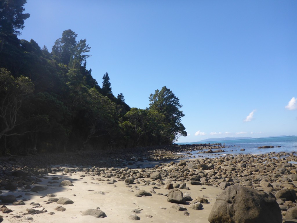
A tricky scabbily walk over slippery rocks en route to New Chum Beach
A tricky scabbily walk over slippery rocks en route to New Chum Beac


2015-04-01 10.45.38

Nearly there...
Nearly there…


2015-04-01 10.49.59

New Chum Beach with a loneFisherman left.....
New Chum Beach with a loneFisherman left…..
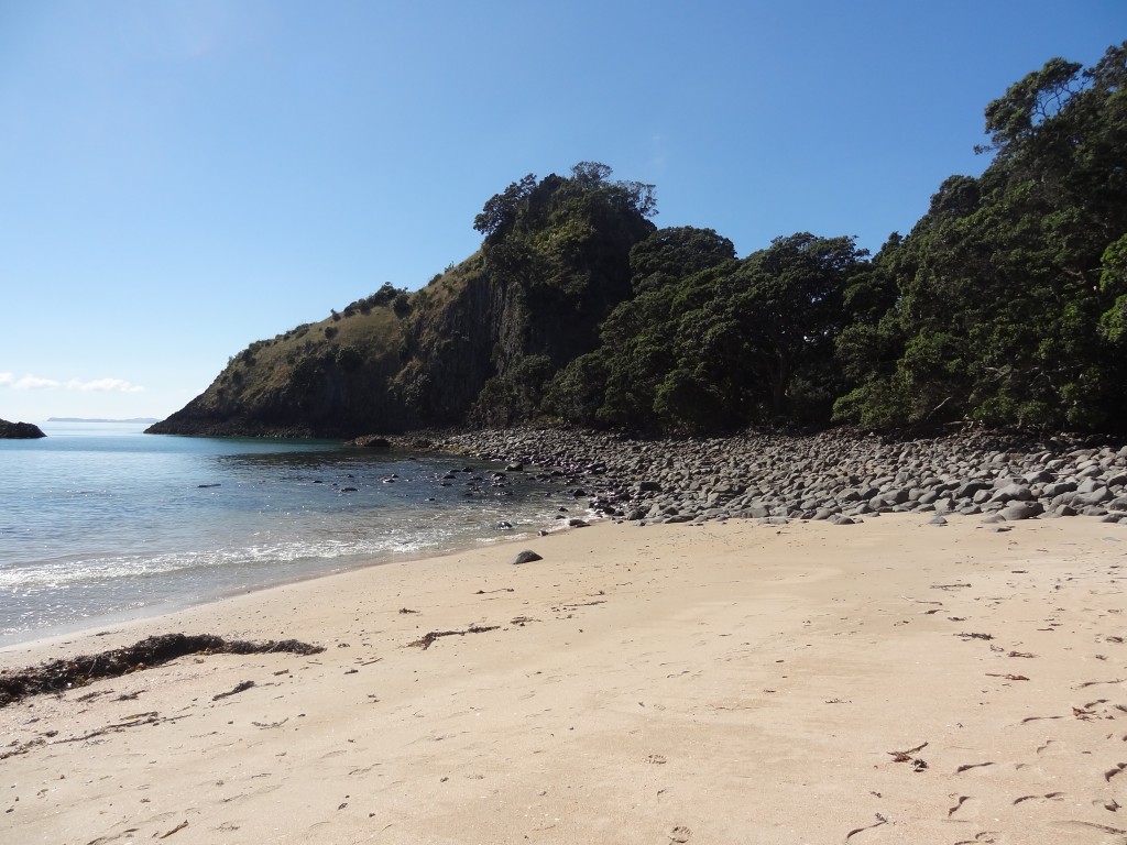
New Chum Beach - By now we have stopped trying to decide our favourite beach but this is certainly one of them.....
New Chum Beach – By now we have stopped trying to decide our favourite beach but this is certainly one of them…..

2015-04-01 10.49.25

We celebrated a nice day out with a few drinks and a meal in a very lively sports bar in town where locals were watching  Australia v New Zealand  in the cricket World Cup  – the beers were flowing and  there was a great atmosphere – although the Ozzies won in the end

On 3rd April, after  a week on the Coromandel, we  set off on another scenic drive 170kms or so down the coast to Mt Maunganui.


Bay of Islands, North Island New Zealand

A short flight from Christchurch saw us arrive in Auckland, North Island, New Zealand mid-afternoon on 19th March. This would be a fleeting visit as our plan was to spend a few days here when we left for Australia at the end of April.
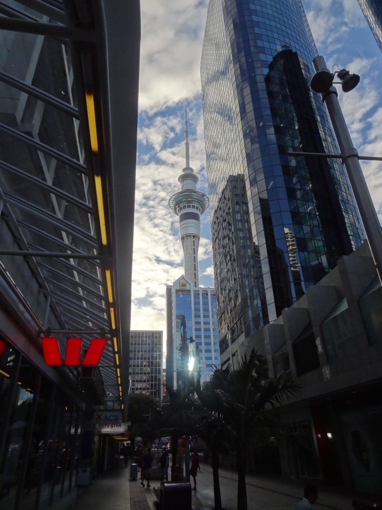
The iconic Sky Tower - folk visit Auckland just to throw themselves off this building
The iconic Sky Tower – folk visit Auckland just to throw themselves off this building

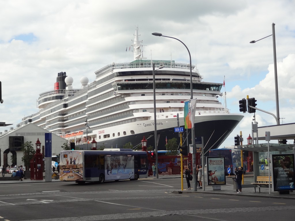
We caught the very efficient Airbus Express from Auckland airport to the city and checked in at the decidedly average but cheap and conveniently-located Great Western President Hotel on Victoria Street West. We had a few hours to spend wandering around the city and were rather impressed with the place. The cruise ship Queen Victoria was in town and walking downhill down the main shopping Street, Queen Street, we were a bit shocked to see this huge vessel seemingly parked up at the end of the street. This is the heart of the city and of the harbour area and the combination makes for a fantastic vibrant area which was of course extensively re-developed for the Americas Cup in the 1990s. The re-development became a legacy and the area is truly stunning. Restaurants, bars and shops overlook the waterfront which is busy with ferries and other watercraft constantly on the move. It all makes for a great city centre and a lovely place to be even if just sitting and watching the world go by.

Blimey - there's a cruise ship at the end of the street....!
Blimey – there’s a cruise ship at the end of the street…!

Although Auckland isn’t the capital city, it is New Zealand’s largest city with a population of around 1.2 million people out of a total population of 3.2 million on the North Island.

South Island, by the way, has a population of only 1 million and so NZ has a total population of 4.2 million with 25 per cent concentrated in the Auckland area.

It seemed like most of them were in the city this day but there was a friendly, laid back feeling to the place and at 5pm as in most cities, the bars were already full with office workers enjoying an after work beer. We came across the very excellent Corner Bar, part of Debretts Hotel on the corner of Shotland and High Street which sells a variety of excellent draught and bottled craft beers and wines and parked ourselves up for a couple of hours enjoying the buzz. Eventually we dragged ourselves away and wandered off to find somewhere to eat and before too long we came by and agreed upon Elliott’s Stables fairly quickly.

Elliott’s Stables is an eatery in an old warehouse conversion in the heart of the CBD, on Elliott Street funnily enough. The place describes itself as an epicurean village and is essentially an upmarket food hall with a dozen or so restaurants plying their trade in a single large room. The restaurants, include Spanish, Japanese, Indian, Mexican and Spanish and all looked pretty good. In the end we enjoyed a Cajun meal before retiring to our hotel a block or two away.

The following morning, Friday 20th March, we checked out of the President leaving our bags for collection later. We were to be picked up by our car hire firm late morning and had a couple of hours to kill which we did with an incredibly awful breakfast in a McDonald’s type of place on Queen Street followed by some more walking around making the most of the good weather by taking as many photographs as we could.

At the allotted hour our friendly Car Hire Executive collected us with bags at the President and drove us down to the Apex Car Rentals depot on Beach Road. We quickly had the paperwork done, bill paid and we were off – this time with a blue Ford Focus of some vintage and slightly battered.

Our first destination on North Island was to be Paihia in the Bay of Islands, around 230 KM and three hours drive in the far north of the Island. The drive was straightforward although the initial KMs were along multi-lane motorways the likes of which we hadn’t seen before in New Zealand. There was a lot of traffic as this was Friday afternoon with weekenders heading north up the coast for a long weekend. We soon came to a point where I wasn’t convinced we were heading in the right direction but happily Ann kept her cool as I dodged from lane to lane in the heavy traffic getting hot and bothered not helped much by the fact that our vintage jalopy seemed to constantly want to veer off to the left of its own accord. Thankfully it soon became clear we were on the right road and as we got further and further north the traffic pressure reduced and I became less and less stressed.

Eventually we arrived at Paihia around 4pm and soon found our accommodation, Paihia Club.

Paihia

2015-03-25 10.43.52

Paihia is the main tourist town in the Bay of Islands, a remarkably beautiful area in the far north. It’s a popular though small seaside resort with a resident population of less than 2,000 although of course that increases considerably with holiday makers. The town is close to a number of historic settlements notably Waitangi and Russell.

We were staying in a timeshare accommodation, Club Paihia, a small resort surrounded by native bush and perched on a hill overlooking but only a few hundred yards from the centre of town. It was a great location and we had a lovely unit very nicely and comprehensively kitted out, with our only gripe being an almost total lack of Wifi! Wifi is provided free of charge but only for a very very limited number of hours and available only in the club house when the club house is open. In this day and age its unforgivable that any type of accommodation provides such poor internet access. It’s fair to say that our digs thus far throughout New Zealand have been very acceptable but Wifi provision and signal strength has often been a real issue for us. This wasn’t going to improve quickly as our travels continued.

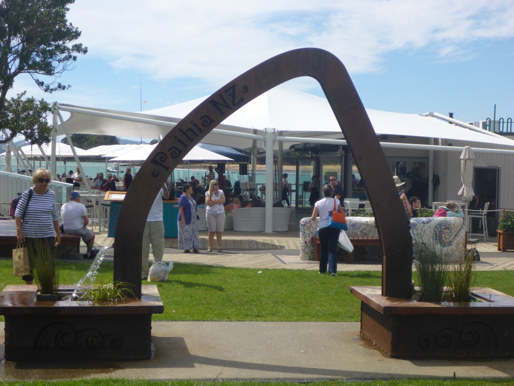
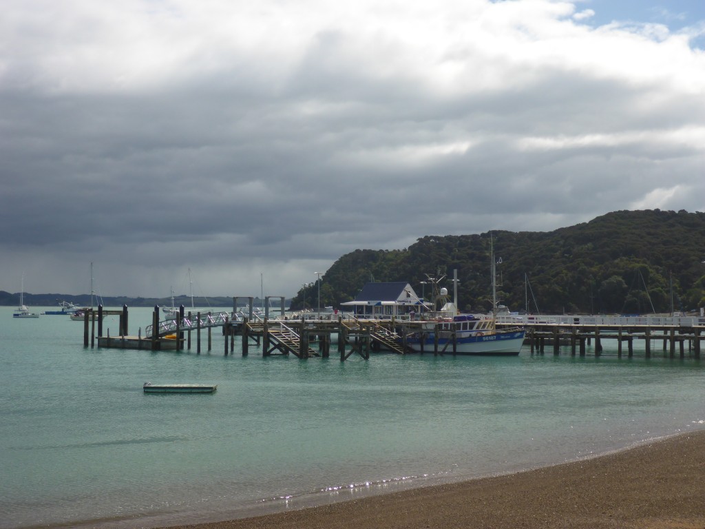
Paihia town itself is a very pleasant place with plenty of bars and restaurants, some very nice independent shops and a couple of small supermarkets. The waterfront is lined with eateries with a small pier like construction carrying a couple of nice bars and restaurants and a boat jetty itself lined with a take-away or two and an outfit selling tours and ferry tickets. Within a few yards, Fullers Tours have a large booking office for cruise tours and in addition there’s is a helicopter pad with an operator selling scenic flights.There are nice beaches either side of the pier/jetty area with opportunities for decent walks in either direction away from town.

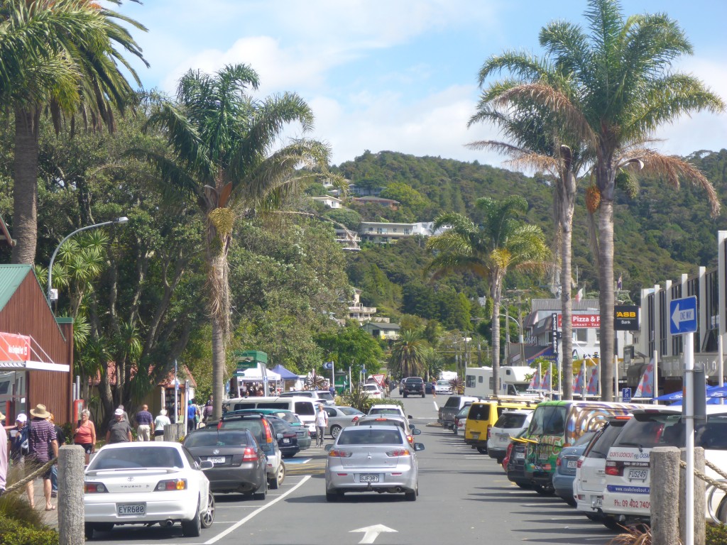
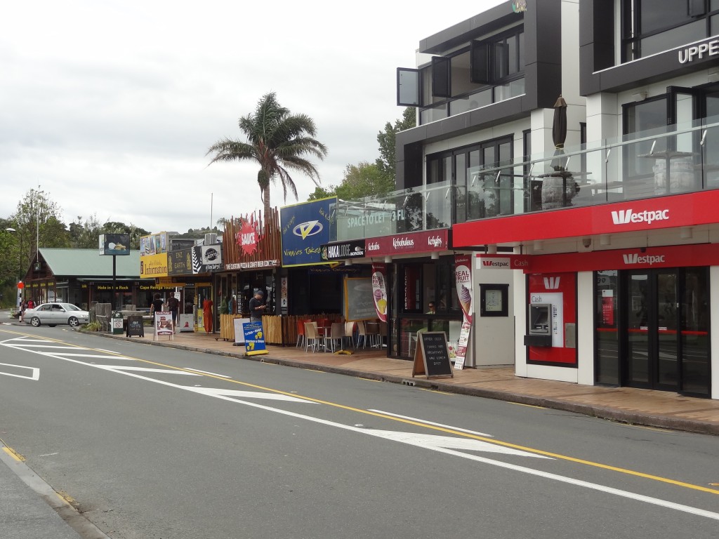
Some Paihia street scenes:

2015-03-22 13.52.47

2015-03-26 14.45.48

2015-03-22 13.49.52

2015-03-22 10.33.29

Our week at Paihia was mixed in terms of the weather with a few sunny days, some cloudy ones and some rain at times. Nevertheless we managed to do some walking and were stuck in the apartment only for a couple of half days.

Highlights of this week were a day cruise around the bay, visits to Russell and Waitingi and a day on the ocean fishing for snapper.

Sea fishing from a boat isn’t my favourite fishing and already I had resisted Ann’s urgings to go for it. On this occasion, since I’d not been able to get much other fishing done, Ann convinced me I should give it a go whilst she spent the afternoon at the hairdressers!

On my fishing day, a rainy morning cleared as I walked down to the jetty and I went out with half a dozen other Guys and had a thoroughly pleasant day extracting plate-sized red snapper from the sea, sufficient for us all to go home with more than enough fillets for a meal. Mine was cooked up into a generous two course meal by the King Way Chinese restaurant and very nice it was too!

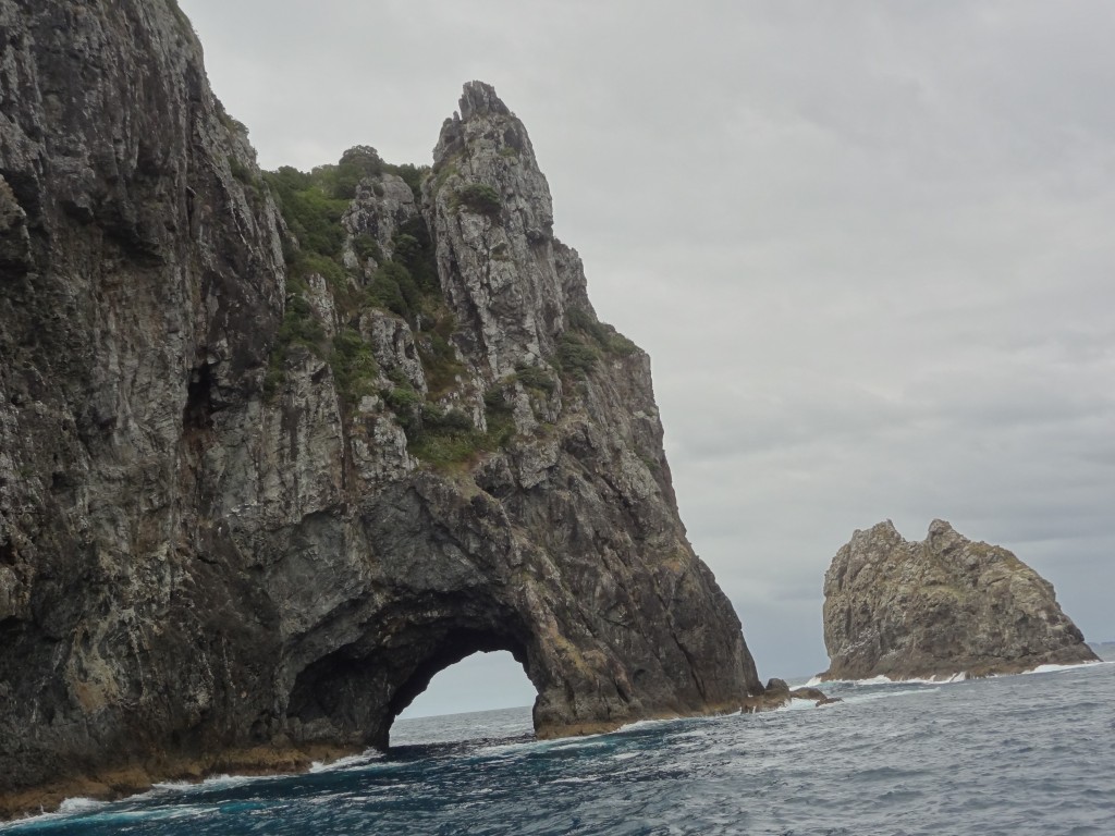
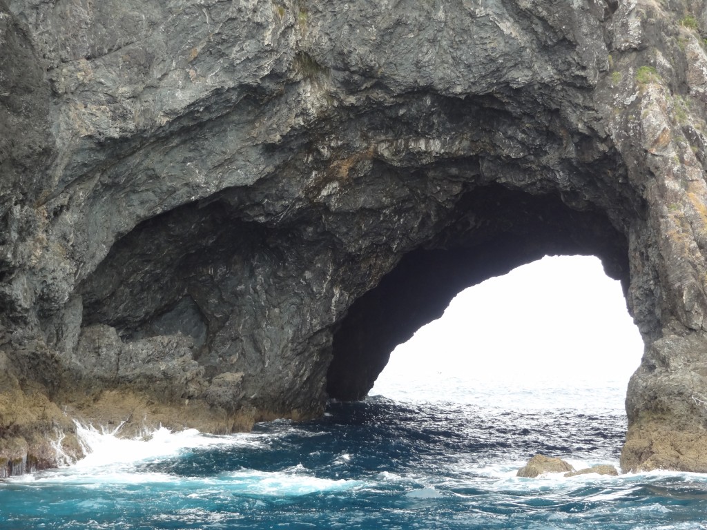
The Hole in the Rock Cruise

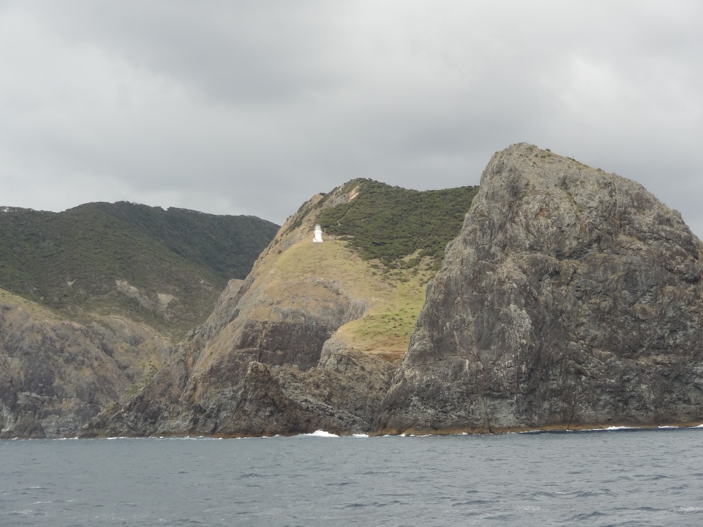
The “Hole in the Rock” is sometimes known as Piercy Island. It was named by Captain Cook in honour of one of the Lords of the Admiralty at the time.

The island’s Maori name is Motu Kokako and it is of great cultural significance to the Maori Ngāpuhi iwi (tribe) as it was said to be the first landing place of one of the ocean going canoes, Tūnui-a-rangi, which brought the original Polynesians in the 14th century. The hole has been created by erosion by the sea over centuries and numerous boat trips tour the bay and if conditions are favourable, will sail through the hole. Needless to say conditions were not favourable for our visit.

It is probably the most important island in the Bay of Islands in conservation terms, being in near pristine condition, with no evidence of introduced animals. A 1987 survey of the island found 99 different types of flora, and noted the presence of two types of petrels and lizards.

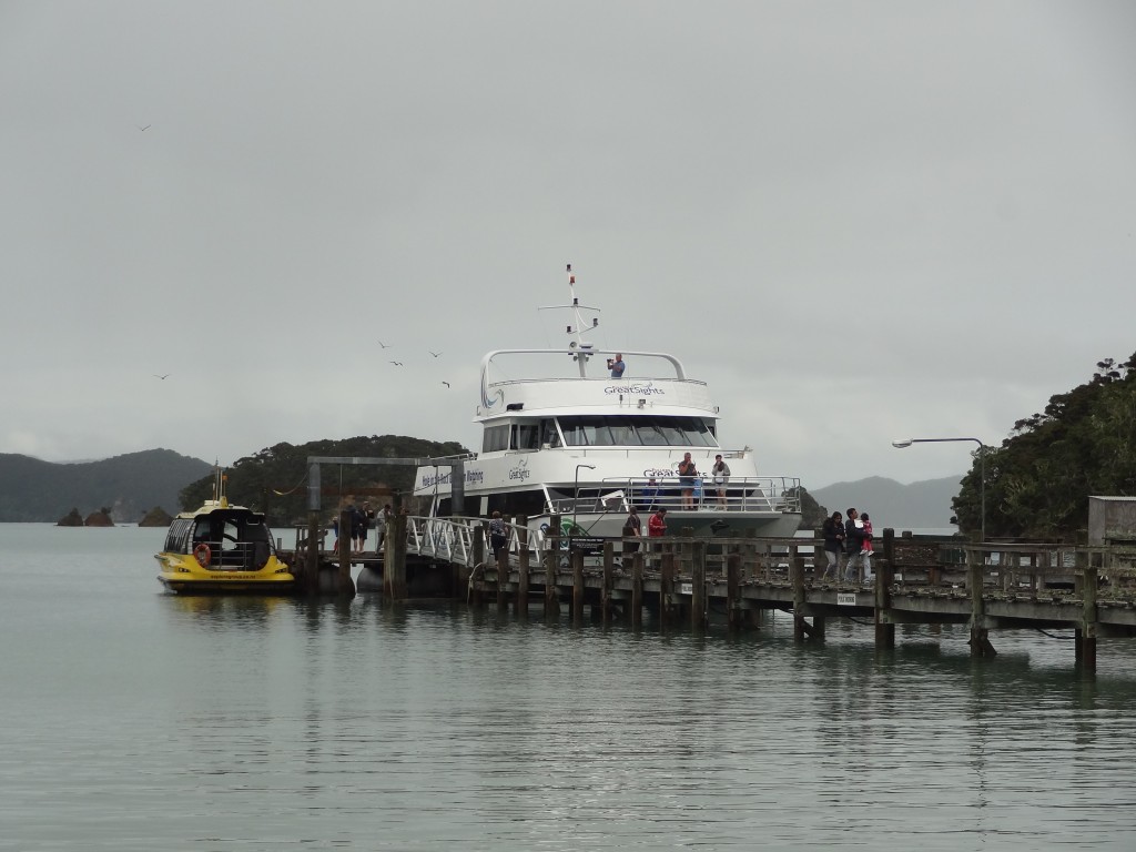
Our day cruise around the Bay of Islands with Fullers Tours didn’t start off too well. It had poured with rain throughout the night before our trip and this was a wet and miserable morning and we wondered whether or not we should go. But we had already paid and didn’t fancy our chances of getting our money back were we to cancel and so we donned our waterproof jackets and wandered down to the jetty. It was raining when we we arrived and still raining as we boarded. The Captain announced that the trip would go ahead. He did expect the rain to clear but couldn’t guarantee it and offered to refund any monies if passengers wished to cancel. A few took up the offer but we didn’t as we weren’t sure we would get another opportunity to make the trip before we moved on.

The murky conditions persisted for most of the morning which was a shame (this wasn’t a cheap tour!) but we managed to get a few reasonable photographs as below.

2015-03-23 10.52.46

2015-03-23 10.04.39

2015-03-23 10.15.50

2015-03-23 10.02.46

2015-03-23 10.09.47

Around lunchtime, the boat called at Russell, a town across the bay from Paihia, to drop off passengers who had been picked up there earlier. We were given the opportunity to get off the boat to spend some time at Russell and were given a “free” ferry ticket to return back to Paihia later in the afternoon.

Russell

Our decision to get off the boat here was a good one. The weather had dried up and although still cloudy, it was warm and dry and eventually the sun broke through. We enjoyed a seafood lunch outside at a waterfront restaurant with a table only a few metres from the sea.

Russell is a small town (population less than 1,000) but with a big history. It was the first permanent settlement for Europeans in the 1800’s and became the main supply centre for whaling and sealing. The indigenous Maoris, hungry for guns and alcohol, traded timber and other produce with the Europeans and the town grew significantly to became known as the Hell Hole of the Pacific, rife with prostitution and lawlessness. In January 1840 the Colony of New Zealand was founded and Russell was to become the capital but the Governor Lord Hobson decided thats its reputation was such that this was inappropriate and Auckland was chosen instead.

Today Russell is a pretty village comprising a few streets of timber cottages with attractive restaurants and shops mostly lining the sea front.

2015-03-23 13.37.39

2015-03-23 12.22.09

2015-03-23 11.48.33

2015-03-23 12.22.27

2015-03-23 12.16.24

2015-03-23 12.19.36

Waitangi Treaty Grounds

Waitangi is a settlement north of Paihia in the Bay of Islands. It was the scene of perhaps the most significant event in the modern history of New Zealand and the indigenous Maori, the signing of the Treaty of Waitingi in 1840.

As the presence of British citizens in New Zealand grew so did the trading relationship with Maori as more and more land transactions took place. This and the growing lawlessness of the place and an apparent interest by France, prompted the British Government to propose a treaty to the Maori whereby they would come under Crown sovereignty and thus enjoy its protection. There were around 540 Maori tribes in New Zealand at the time and around 500 of their Chiefs attended a gathering at Waitangi on 6th February 1840 and signed the treaty. The other Chiefs signed later.

The Treaty Grounds contain the Treaty House which was the residence of the Governor of the time, a carved Meeting Room and a ceremonial war canoe (waka) which is 35 metres long, weighs 6 tonnes and requires over 70 paddlers.

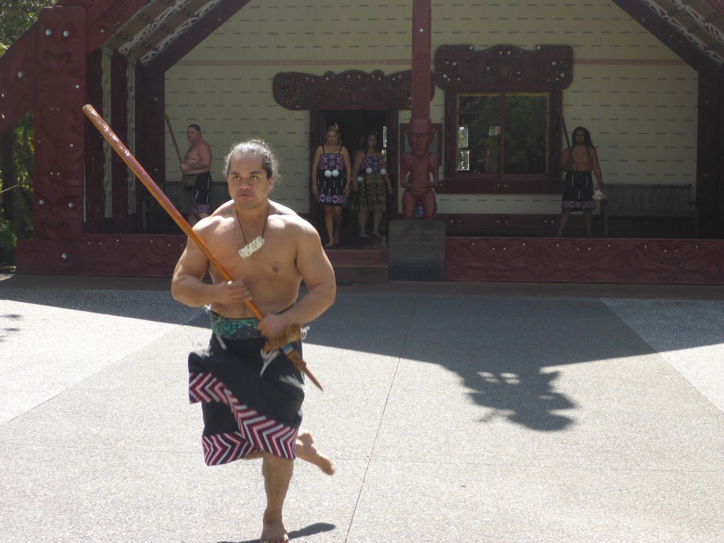
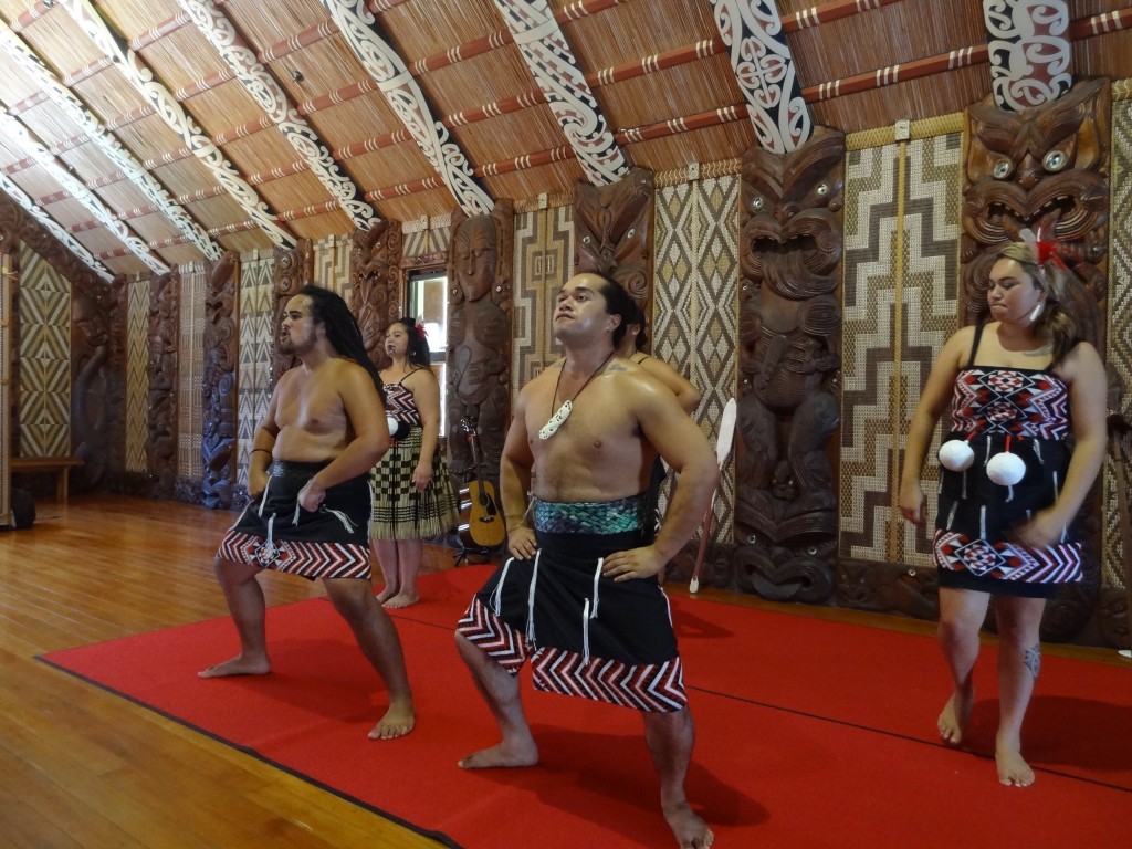
There is an excellent museum and some beautiful grounds to tour with a foreshore facing Russell across the Bay. We chose to buy a ticket which includes a performance by a resident group of Maori song and dance which includes the famous haka – it’s an interactive performance with some audience participation and great fun.

A reception from the Chief before we entered the Meeting Hall at Waitingi

2015-03-26 13.30.39

We got top marks for our wake attempt.....
We got top marks for our waka attempt…

Waitingi was one of the real highlights of our trip to New Zealand. The history is fascinating and without exception the Maori we met here as everywhere else were warm and friendly with a great sense of humour.

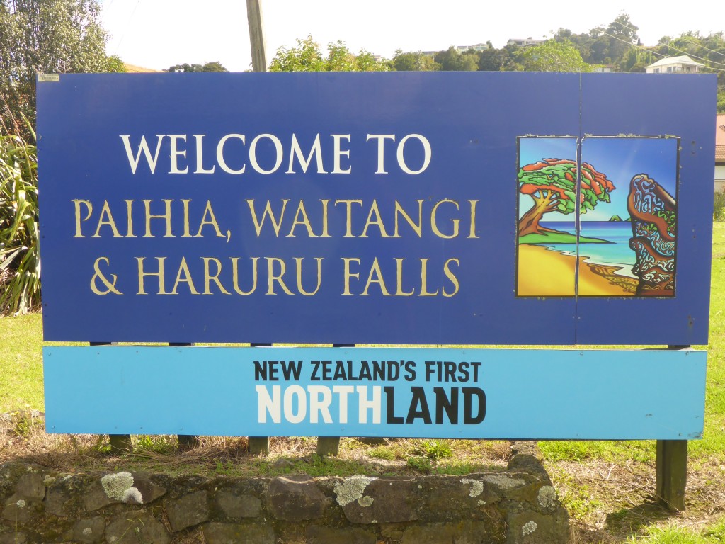
P.S. For those observant ones amongst the readership, although the welcome sign to the Bay of Islands area shown above mentions Haruru Falls, at the time of our visit we were told that the waterfall was a shadow of its normal self due to the drought conditions prevailing in the recent months and so we didn’t bother to visit.

Akaroa

We left Mount Cooke on March 16 for the four and a half hour drive to Akaroa which stands on Banks Peninsula about 80km from Christchurch. The peninsula was formed by two giant volcanic eruptions eight million years ago. Its full of lots of bays and the drive along what is known as the Summit Road is quite spectacular.

The area around Banks Peninsula is home to a rare species of dolphin, called Hector’s dolphin, found only around New Zealand and of course boat trips are available to spot these, penguins, whales and orcas.

xxxxx

xxxx
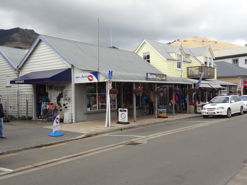
Ma cherie, one of many shops with a French name
xxxx
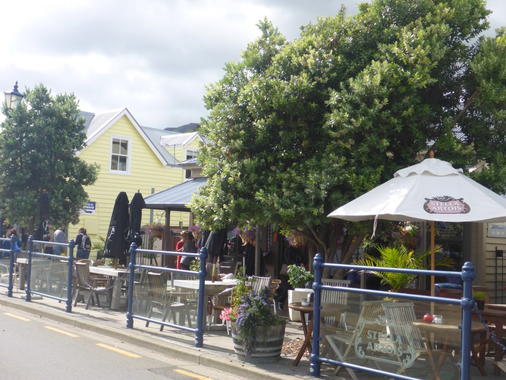
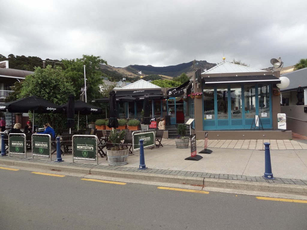
Waterfront watering hole at Akaroa

xxxxxx

xxxx
Waterfront watering hole at Akaroa
xxxx
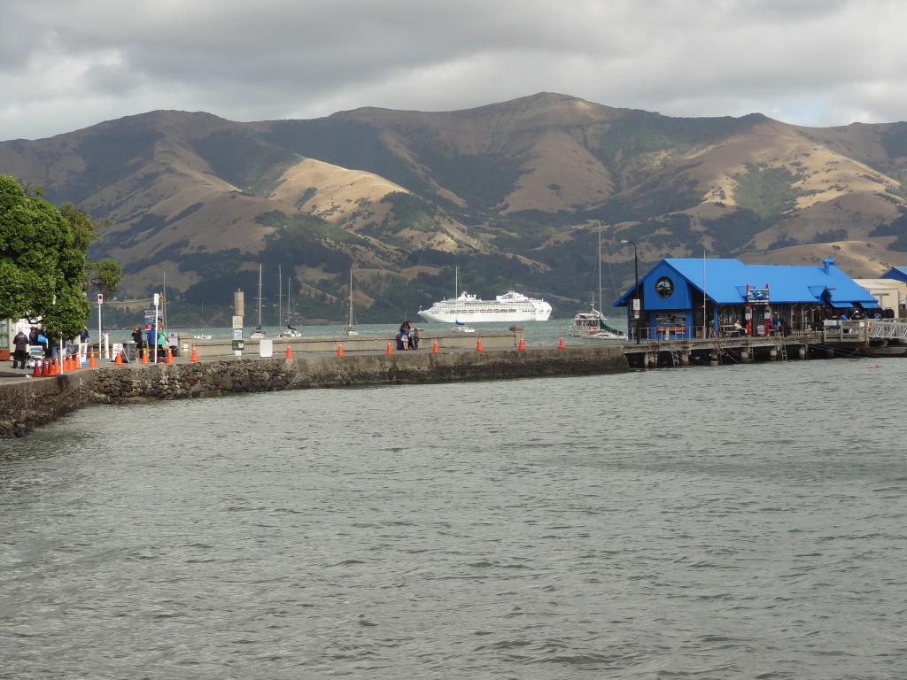
Akaroa Harbour with the cruise ship Dawn Princess docked under angry skies
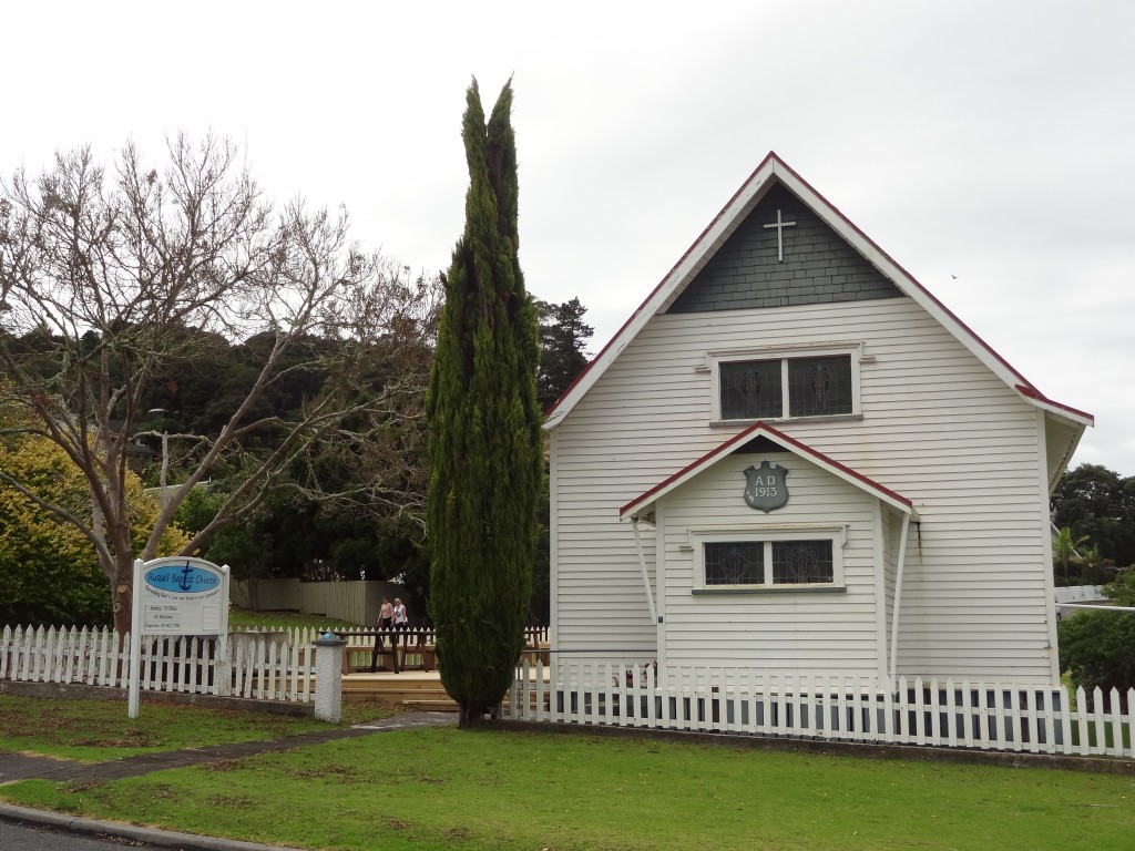
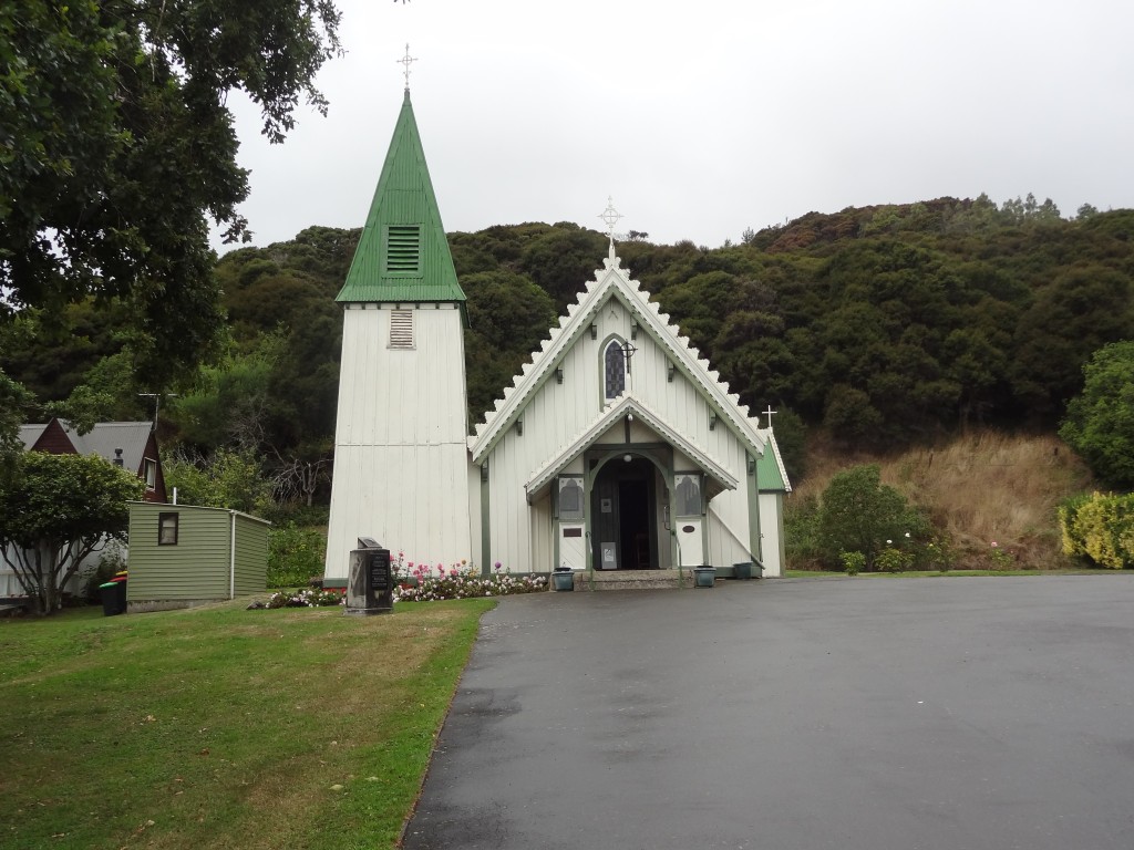
St Patrick's Church
St Patrick’s Church on St Patrick’s Da
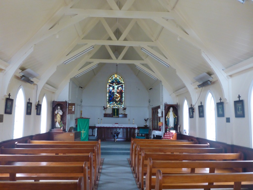
We missed Mass but did get to go inside
We missed Mass but did get a peek inside
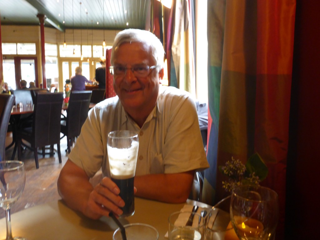
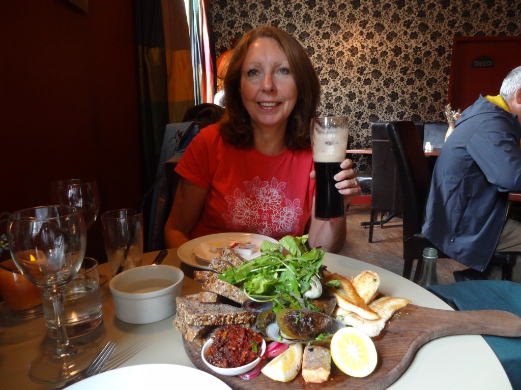
And since it was Paddy's Day , it would have been rude not to try the Guiness
And since it was Paddy’s Day, it would have been rude not to try the Guiness
and a fish platter...
and a fish platter..
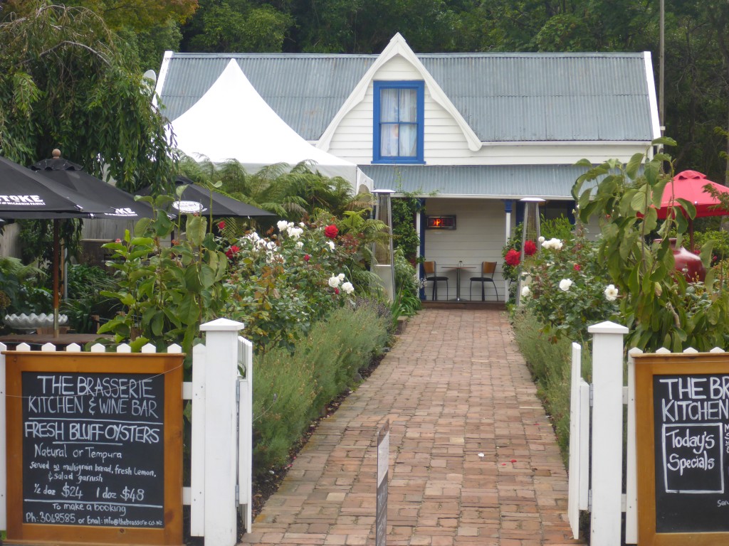
One of Akaroa's many nice restaurants
One of Akaroa’s many nice restaurants

Aoraki Mount Cook

We left our Omarama motel room sometime after 9.00 to drive the ninety or so kilometres to Aoraki Mt Cook. The next couple of days was all walking and we really needed decent weather but the morning was dull with rain threatening and we feared the worst.

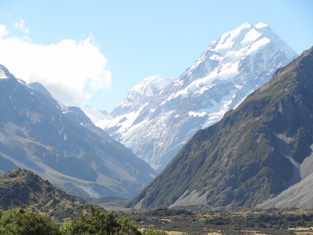
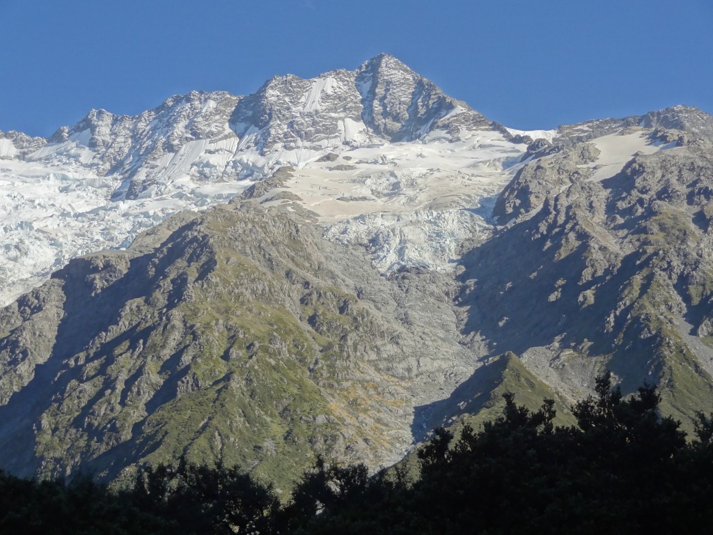
Aoraki Mount Cook is the highest mountain in New Zealand lying in the Southern Alps which is the mountain range which runs the length of South Island. It consists of three peaks known as Low Peak, Middle Peak and High Peak with the Tasman Glacier to the east and the Hooker Glacier to the west.

The Mountain is obviously steeped in climbing history having been first conquered by a group of New Zealand Mountaineers Fyfe, Graham and Clark in 1894 when they made the ascent at fairly short notice once they learned that an English climber, Edward Fitzgerald was on his way to claim the prize. Fitzgerald was piqued to learn he had been beaten to it and refused to make an attempt. Instead he climbed other nearby peaks with his swiss Guide Matthias Zurbriggen who himself went on to make the first solo climb of Aoraki Mount Cook in 1895.

Aoraki Mt Cook came to be known by this name in 1998 when the Maori name Aoraki was added to the name given by the Europeans. All very politically correct but its a bit of a mouthful and from here on I shall refer to it as AMC!

The roads were quiet as always in New Zealand and making good time, we made a small diversion off the main highway to take a look at Twizel about half way en route. In our research about this trip, Twizel didn’t strike us as being a must see place; rather one of those places that it might be necessary to call into for provisions or overnight accommodation en route to somewhere else, but we were in time so decided to have a shufty.

Twizel is a new town built in 1968 to house construction workers who were building the Upper Waitaki Hydroelectric Scheme. This massive scheme consists of 50km of canals, two dams and four powerhouses and at the peak of the project in the 1970’s the town had a population of around 6,000.

As the intention had been that the town would be “de-constructed” and revert to farmland on completion of the Scheme, many of the buildings and much of the infra-structure was and still is built on a “temporary ” basis. For example, many of the buildings are prefabricated and all power services, cables etc are overhead rather than buried. In the event many of the families who had settled here during the Project decided to settle there and there is now a resident population of around 1200 which grows significantly in the tourist season. The town itself isn’t particularly attractive given its temporary nature but the surroundings comprise wonderful mountain, lake and river landscapes.

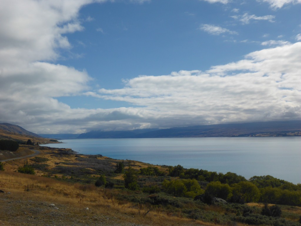
As we neared AMC, we stopped briefly at Peter’s Lookout on the shore line of Lake Pukaki to get a better view of the Mountain and happily we found that the weather ahead appeared to be clearing although the Mountain itself ws still shrouded in cloud.

Lake , approaching Aoraki Mt Cook
Lake Pukaki from Peter’s Lookout, approaching Aoraki Mt Cook.The weather appeared to be clearing up, thankfully

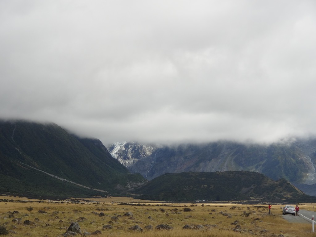
However, the view below was our first view of the Mountain itself as we approached the village. Not exactly promising but miraculously most of this cloud cleared as the day went by.

Our first view of Mt Cook - it didn't look promising !
Our first view of Mt Cook – it didn’t look promising !

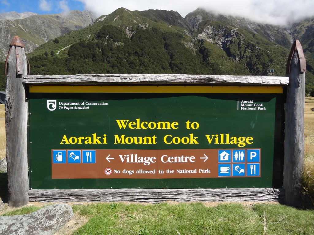
We finally arrived at AMC Village around 11.00 am. The sign below pointing out facilities in the village centre is perhaps a tad mis-leading as it might suggest a village somewhat larger than the reality. Apart from the Hermitage Hotel and a handful of other accommodation providers, including a large modern backpackers hostel with bar and restaurant, there is very little in the village, not even a supermarket.

2015-03-14 11.47.47

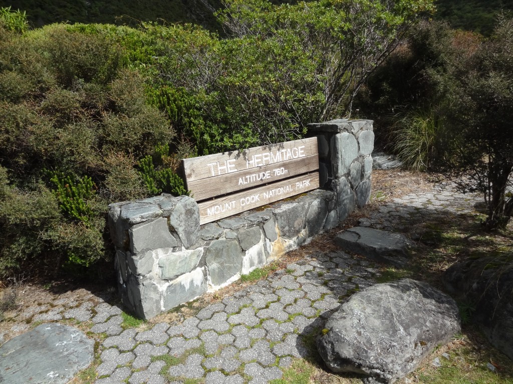
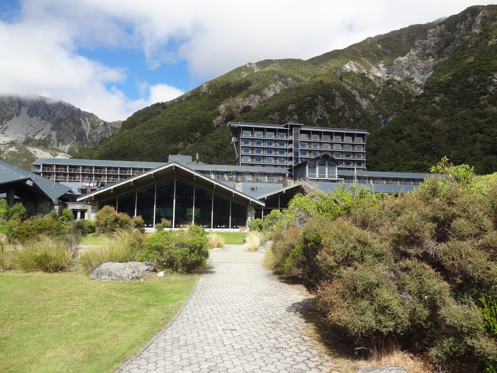
The Hermitage itself is quite a grand affair.

2015-03-14 11.21.46

The Hermitage Hotel - centre of everything Mt Cook
The Hermitage Hotel – centre of everything Mt Cook
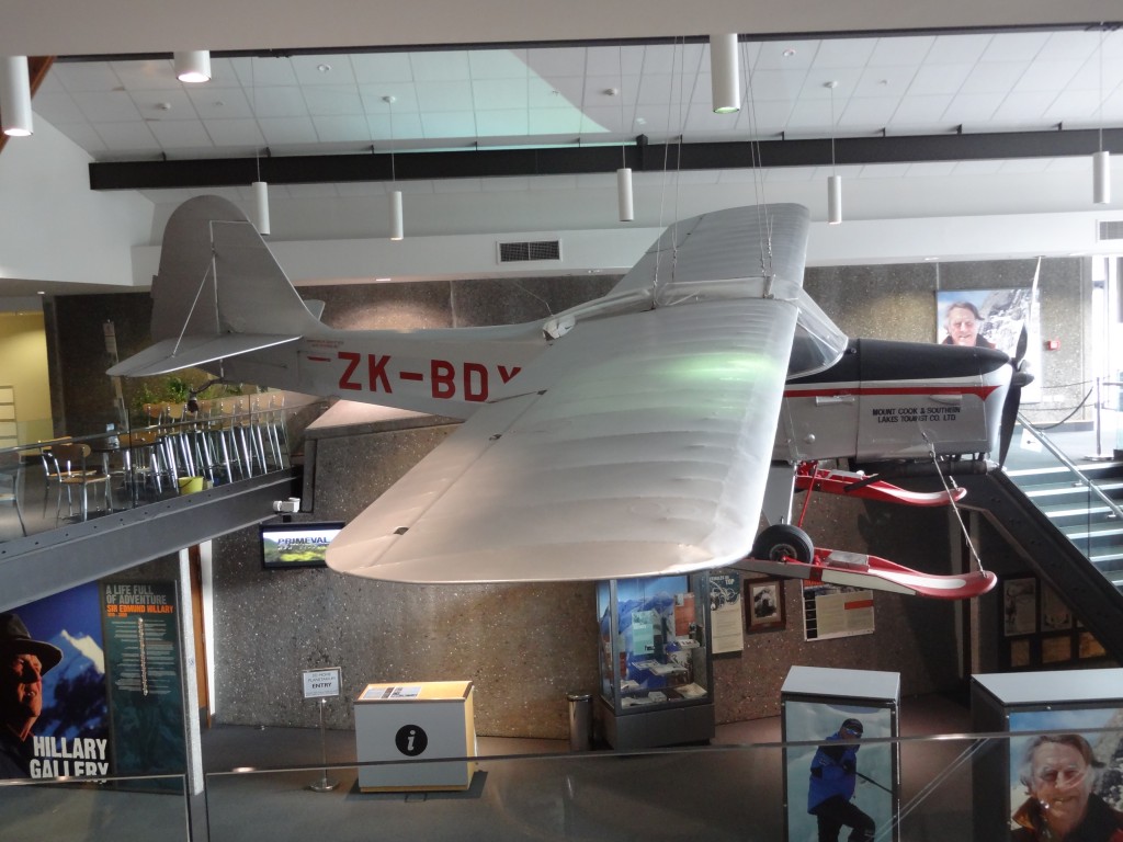
An impressive mobile hanging from the ceiling in the Armitage
An impressive mobile hanging from the ceiling in the Sir Edmund Hillary Alpine Centre
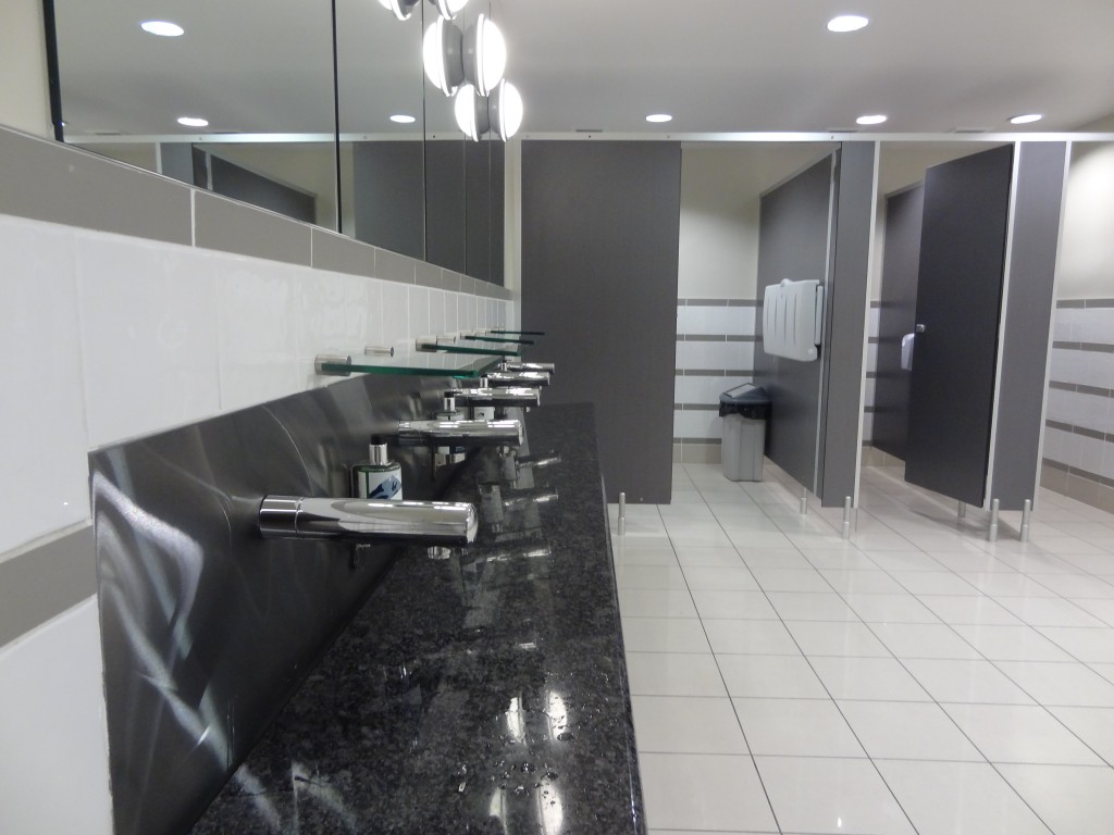
Even the loos are impressive - a sink with no sink....
Even the loos are impressive at the Hermitage – handwash with no sink….

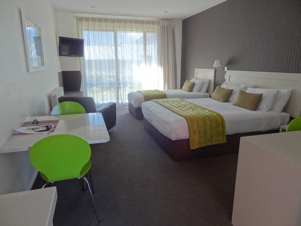
After a look around the Hermitage we booked into our accommodation at Mount Cook Alpine Lodge. A nice room, albeit a tad small but with a good view of the mountains.

Nice room at
Not big but nice room
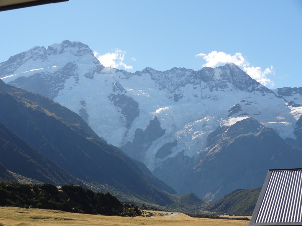
another room with a view
not a bad  view to wake up to…..

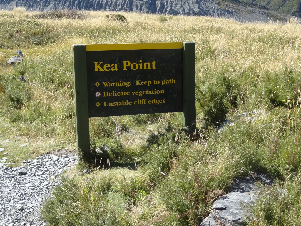
Kea Point

Our first walk to Kea Point

After a quick lunch we went off to find the start point of  the Kea Point track which would take us to the Mueller Glacier moraine wall. This is an easy walk of around three hours from our motel. It’s a fairly flat walk through grassland and scrub but nevertheless there are stunning mountain views wherever you look. It would be a great introduction to the area.

 rrrrrrrr
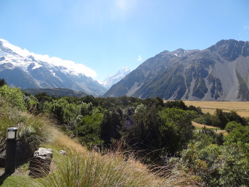
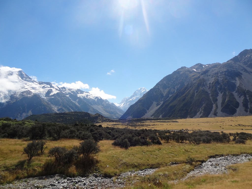
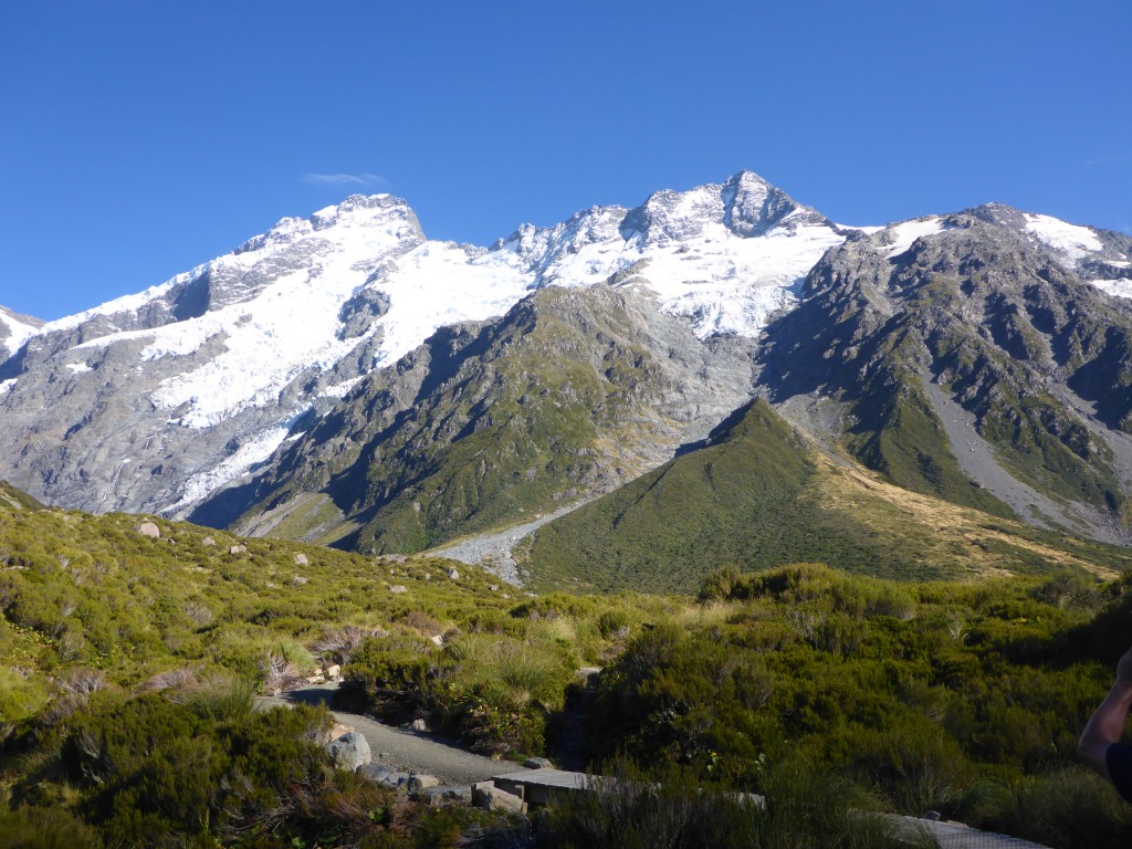
scenery on the short walk to Kea Point

kkkkk


2015-03-14 14.31.20

bbbb
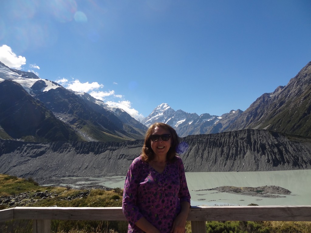
Ann pictured at Kea Point with Mueller Glacier Lake and the moraine wall behind with the backdrop of Aoraki Mount Cook

We finished this first walk with a few drinks at the backpackers motel which was well priced and with a decent menu before retiring for the night well and truly knackered.

Hooker Valley Walk

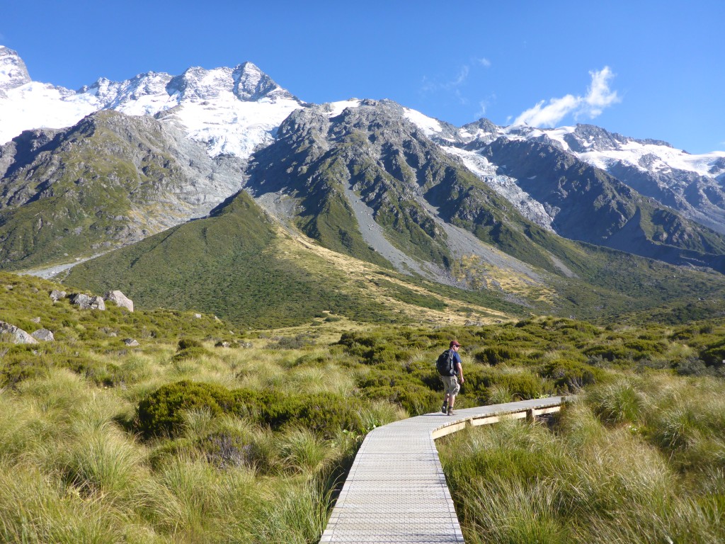
On Day 2 we would complete the longer (about 5 hours return from our digs with stops for photos) and more challenging but still easy walk along the Hooker Valley Track to the source of the Hooker River.  This is an amazingly beautiful walk and one of the most popular walks in New Zealand and we set off early – for us – in the hope we would miss most of the crowds. It worked; we had the outward walk to ourselves for most of the way and didn’t hit the crowds until  our return walk.

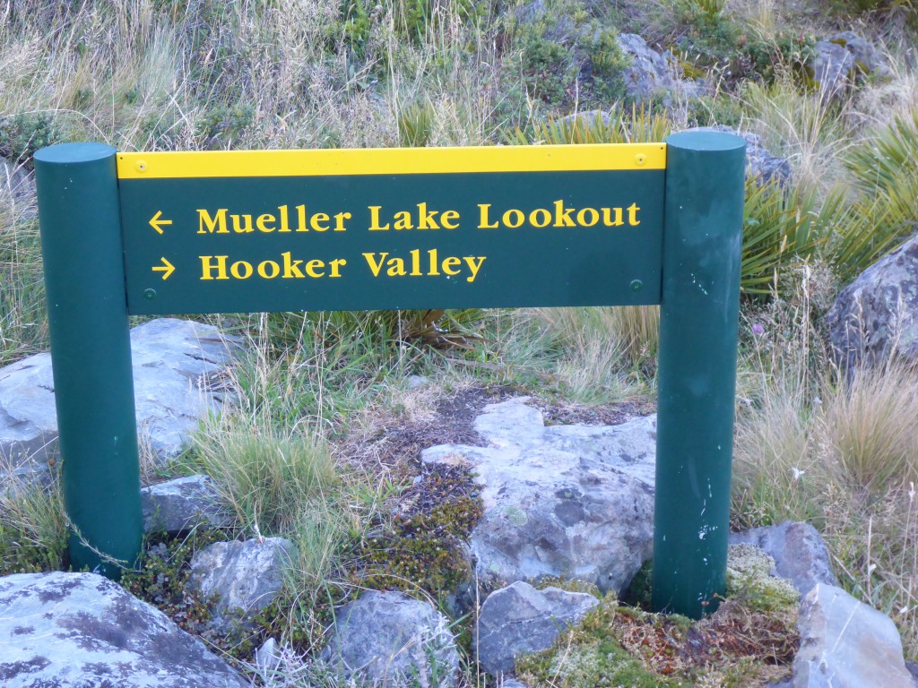
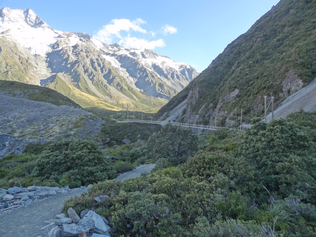
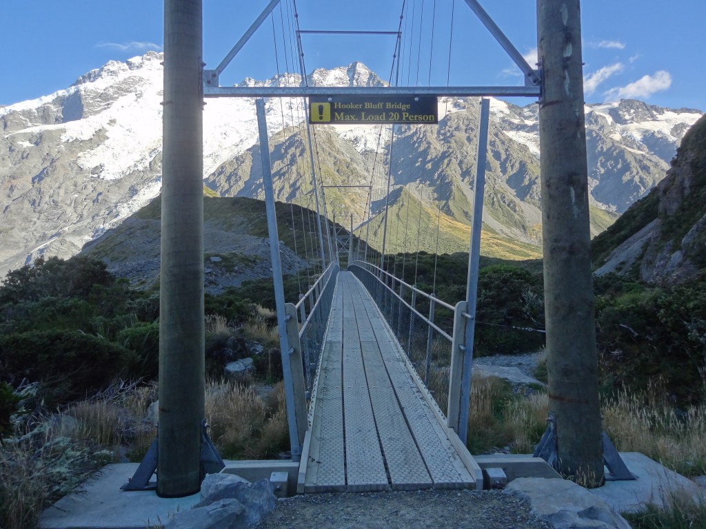
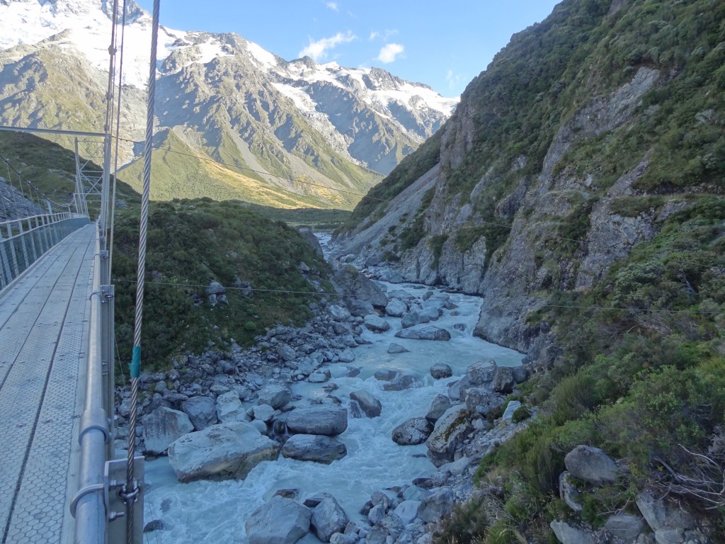
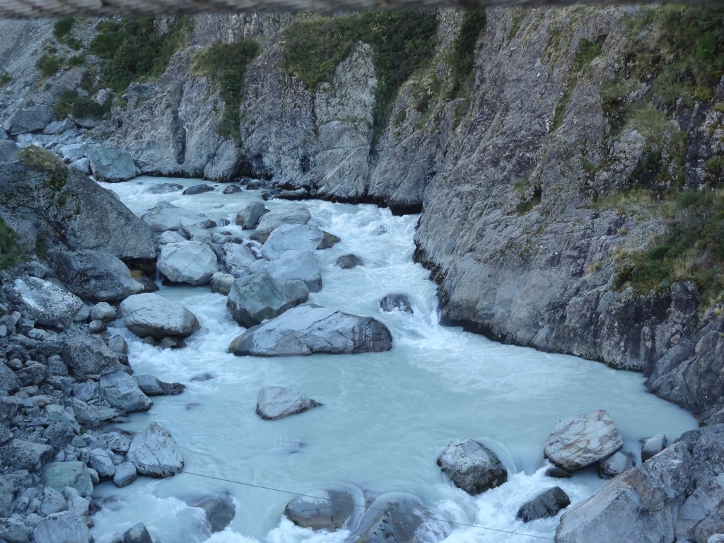
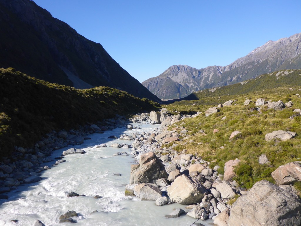
This walk is through much more varied landscapes but still mostly flat on good tracks with some boardwalk through marshy bits and steps in other parts where there is a bit of up and down. There are 3  long suspension bridges en route crossing the beautiful glacial river rushing below and the scenery is just awesome! There always seemed to be a view on the other side of the bridge – the pictures below will show you what I mean….

We did the Hooker Valley walk on our second day here
An early start meant we had most of the outgoing walk to ourselves...
An early start meant we had most of the outgoing walk to ourselves…

vvvv

xxxxxx

one of several suspension bridges en route

2015-03-15 08.58.32

ssss


2015-03-15 09.13.12-1

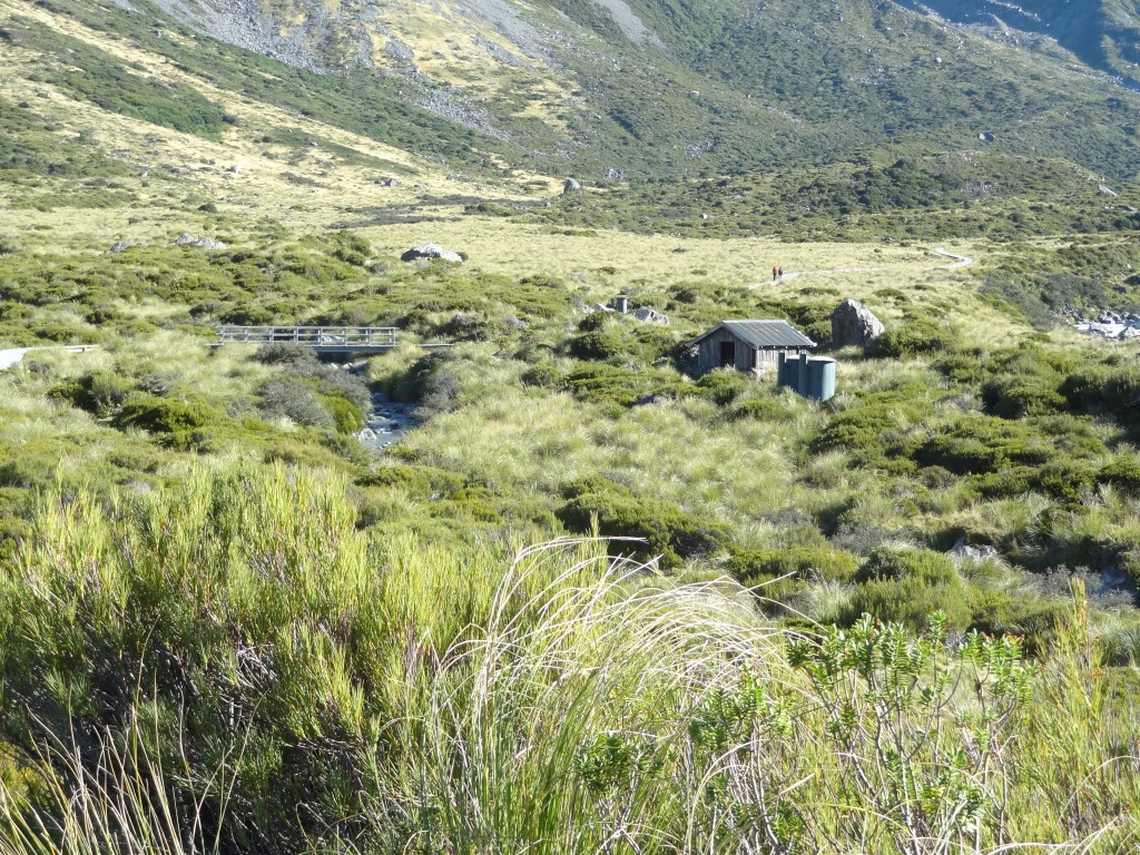
A loo with a view….

2015-03-15 09.02.49

2015-03-15 08.59.56

xxxx

2015-03-15 09.24.57

xxxx
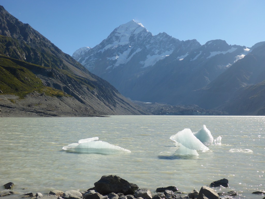
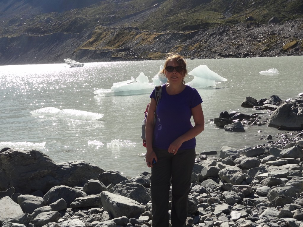
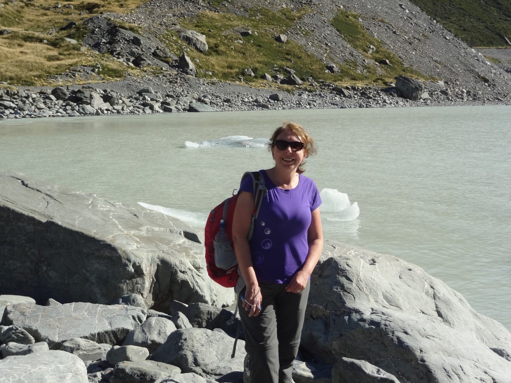
Aoraki/Mount Cook  seen from the end of the Hooker Valley – this the morain lake of the Hooker Glacier complete with ice bergs.


2015-03-15 09.56.20

2015-03-15 09.57.12

a well deserved drink...
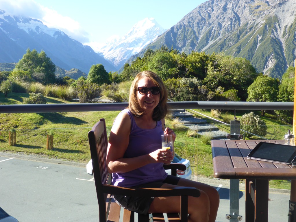
Back at the Hermitage, a well deserved cold drink before dinner.

En route to Aoraki Mount Cook

We left Dunedin on 12th March. The direct route to Mt Cooke from Dunedin is a drive of only three and a half hours but it didn’t look a particularly interesting drive and we had decided to take a very circuitous route over a couple of days via Hyde and Ranfurley and then South West to Alexandra, before turning North again, skating by Cromwell to Omarama and on through Twizzle and Tekapo to Aoraki Mt. Cook. None of these towns are of any size but we had read many a travel blog and Tripadvisor thread recommending the areas as places to visit due to their history.

The road from from Dunedin to Hyde passes initially through suburban Mosgiel but swiftly hits open countryside, and within an hour or so the small town of Middlemarch, population circa 300, a country railway town which is the end of the Taieri Gorge railway line from Dunedin.
We wouldn’t have chance to travel the railway line on this visit but it is apparently well worth a trip for its spectacular scenery and for travellers without cars this could be part of a rail/bus trip from Dunedin west to Wanaka or Queenstown which I reckon would be a lovely way to make such a journey.

Otherwise Middlemarch, which sits at the foot of the Rock and Pillar Range of hills is the start point of the Otago Central Rail Trail, a 150 km walking, cycling and horse riding trail which runs from Middlemarch to Clyde following the old railway route of that name.

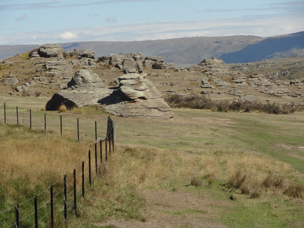
From Middlemarch the road passes through the Rock and Pillar Range with its strange rock formations until it reaches Hyde.

Approaching the Rock and Pillar Range
Strange rock formations resulting from the movement of two parallel faults uplifting the area in between.

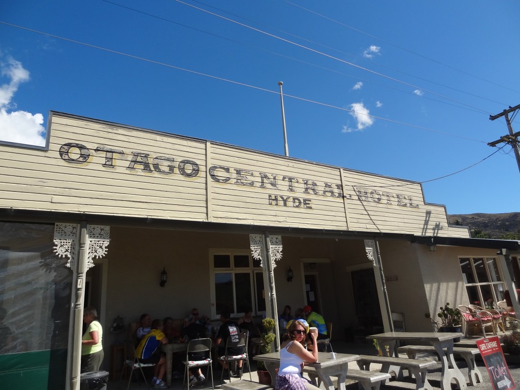
Hyde is a small settlement established in the 1860’s gold rush period and is most famous as the scene of a railway disaster in 1943 in which 21 people were killed when a train came off the rails at high speed in a cutting near the town. This remains New Zealand’s second worst rail disaster.

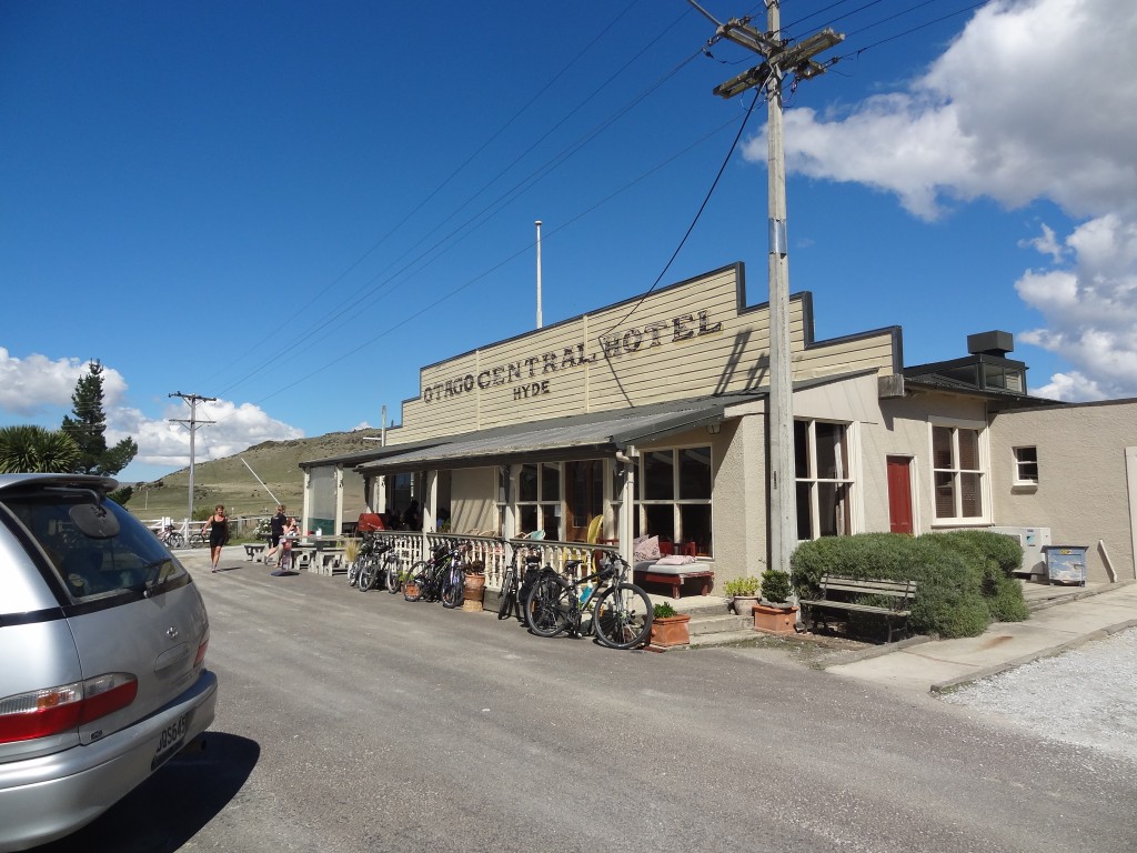
Otago Central Hotel , Hyde on the Otago Rail Trail
Otago Central Hotel, Hyde on the Otago Rail Trail
A well earned rest for cyclists and walkers

The place is now enjoying a re-birth as a stop on the Central Otago Cycling Trail where cyclists and others can stop for refreshments or even an overnight stay at the Otago Central Hotel and we stopped ourselves for coffee and cake…

After Hyde, we stopped at Ranfurly. Established as a town proper in 1898 following the gold rush period, the town was built here as it was at the end of the railway line to Dunedin which had been built to transport people and produce from this isolated area to the port city of Dunedin. Thus Ranfurly became the hub and service centre for the small farming communities of the region which is known as Maniototo.

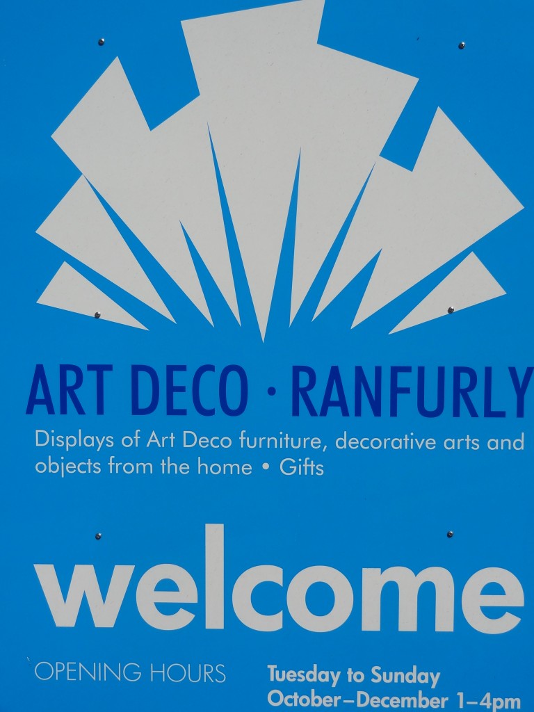
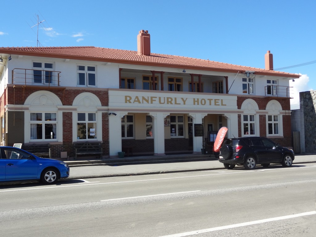
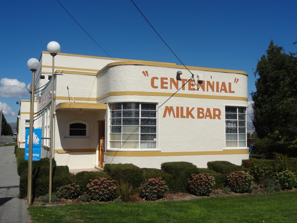
The town experienced a building boom in the 1930s, some of which apparently resulted from suspicious fires. This was the period of Art Deco and the town is is well known for the many Art Deco buildings which remain from that time. The buildings have been retained and well preserved and are celebrated each year with a festival. There is a small Art Deco museum amongst other attractions and being once connected to the rail line with various accommodation options for travellers, the town is another stopping place for travellers including those on the Otago Central Rail Trail. We thought it a very attractive place to stop off

Whilst the town was established and grew on the back of the rail connection built in 1898,the line was closed in 1990 following de-regulation which opened the door to freight being moved by road transport.

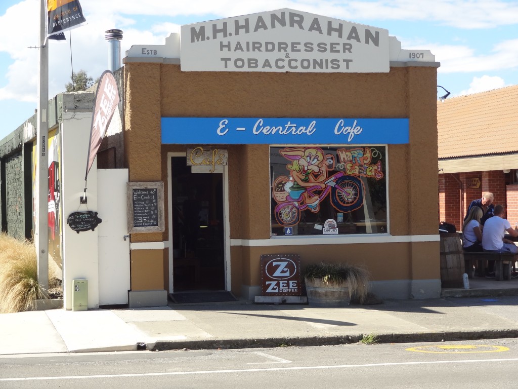
Art Deco at Ranfurly, Central Otago

Ranfurly is celebrated for its Art Deco buildings
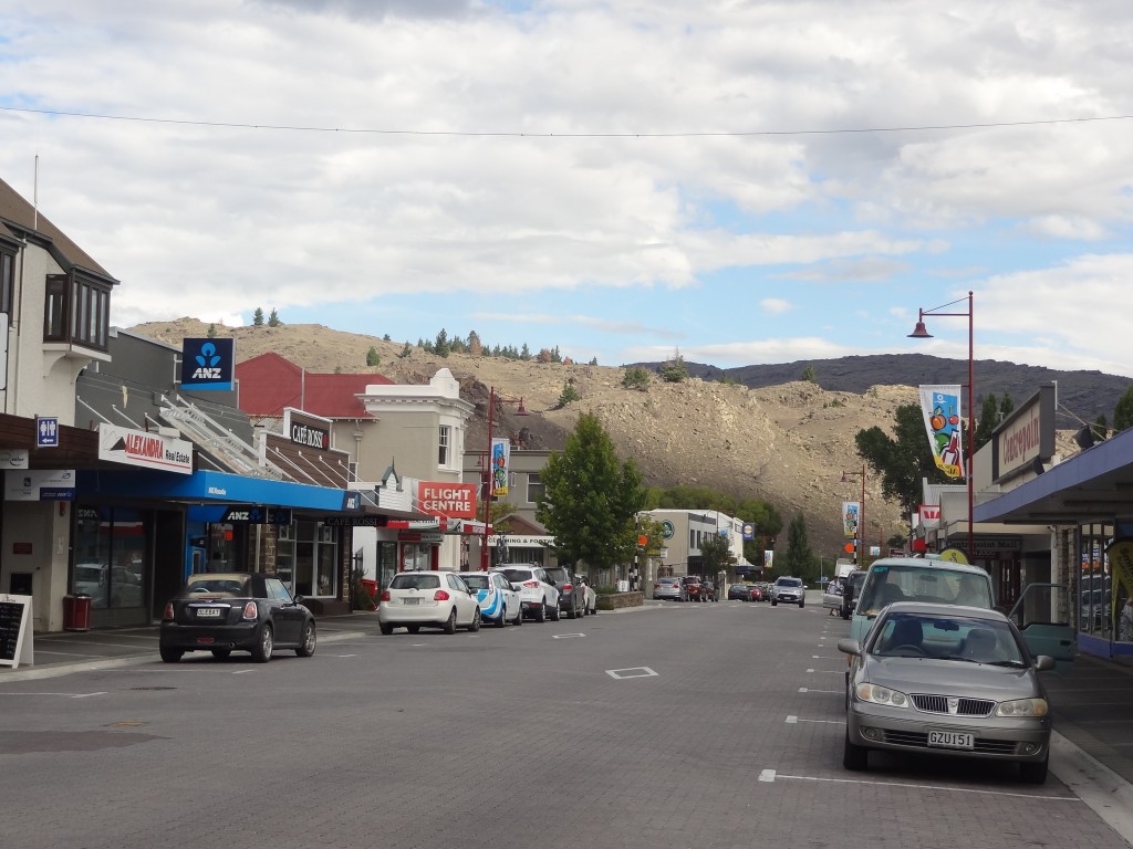
Ranfurly
Ranfurly

2015-03-12 13.43.05

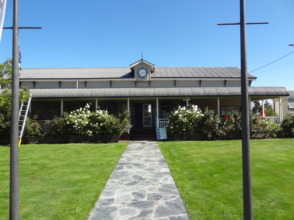
The prettiest iCentre seen so far

2015-03-12 13.56.34

Alexandra

Next stop, this time with an overnight stay at the excellent but oddly named Nangari Studio Unit was in Alexandra, yet another small town founded during the Otago gold rush period of the 1860’s.

Alexandra is known as the hottest, driest and coldest place in New Zealand and with four distinct seasons is a popular tourist town with tourism based on outdoor activities such as walking, climbing, cycling or water based activities with the town sat on the mighty Clutha River

In truth, the town was not as we imagined given its write up. The hills overlooking it appeared strangely barren to us and we thought unattractive. We thought them reminiscent of spent wasteland left behind by the mining activities but I guess they are yet another part of New Zealand’s rich tapestry.

The town is otherwise quite non descript though not unattractive but whilst the tourist blurb describes it as having many eateries, we arrived late afternoon to find only a handful still open. It’s true that our visit wasn’t in the peak tourism period but nevertheless we were surprised to find only the iCentre (actually a very nice iCentre) and a couple of shops still open by 5pm. With most of the eateries closed or about to close, we struggled to find anywhere nice to eat that wasn’t a take away but eventually, with the help of Google, found an excellent burger restaurant which was ironically about to close that evening – for good! We had excellent $10 dollar burgers (a special price on their last night) and a couple of beers before retiring to our “Unit” which formed part of the owners residence just outside the town centre.

Happily it was no hardship to return early to our excellent accommodation with good wifi here but I’m afraid we found this town to be a very dull place and hard to believe its something of a holiday resort!

Alexandra - get there early before it closes
Alexandra – get there early before it closes
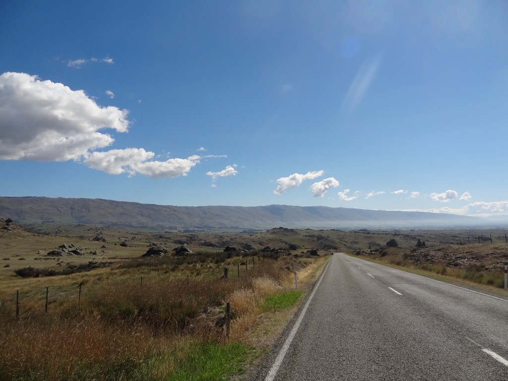
Scenery en route to Oameru
Scenery en route to Omarama

Omarama

Omarama is a small town with a population of only a few hundred serving the farming community and tourism at the head of the Waitaki Valley en route from Christchurch to Queenstown. Its attractions, as ever, are the great outdoors with lovely mountain scenery, lakes and the river system which makes this a big place for trout fishing. It is also a place known f0r its spas with hot tubs supplied from pure mountain water!

Apart from hunting and fishing, cycling, trecking, 4X4 driving et al, the town is also a popular place for gliders and scenic flights being so close as it is to Aoraki Mount Cook but I think many of the visitors travelling hither and thither from around central Otago, Wanaka, Queenstown and all points north east and south,use Omarama, as we did, as a convenient stopping point before Mt Cook.

Now this is a small place with a population of only a few hundred souls. Apart from a couple of hotels and motels (we stayed at the the Asure Sierra which was very acceptable) there is a
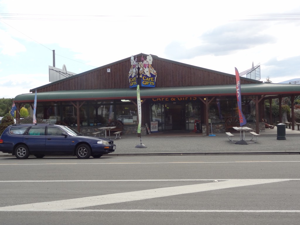
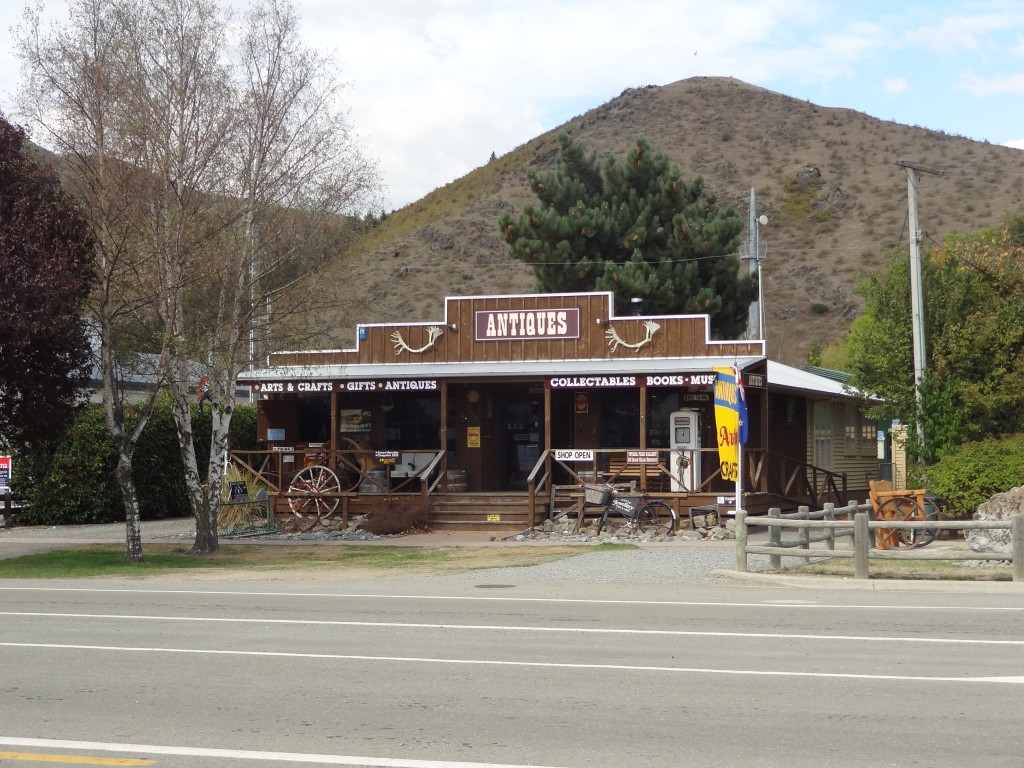
Four Square Supermarket, a gas station, 2 or 3 shops selling outdoor clothing, merino and possum products, a couple of eateries and an antiques/junk shop!

We arrived around lunchtime and had a very pleasant lunch at the Rinkly Ram restaurant which isn’t just a restaurant and wine bar but a centre for all things lamb merino and other products and featuring a daily sheep shearing exhibition in addition to its retail opportunities. Sadly we missed the sheep shearing.

After a leisurely tour of the few shops and a short walk along the river, rain began to fall and we took shelter with a few beers at the Omarama Hotel until retiring to our motel for an early night. Next morning we would drive on to Aoraki Mount Cook.

Merino Country Cafe and Gifts
Omarama Antiques & Collectables